
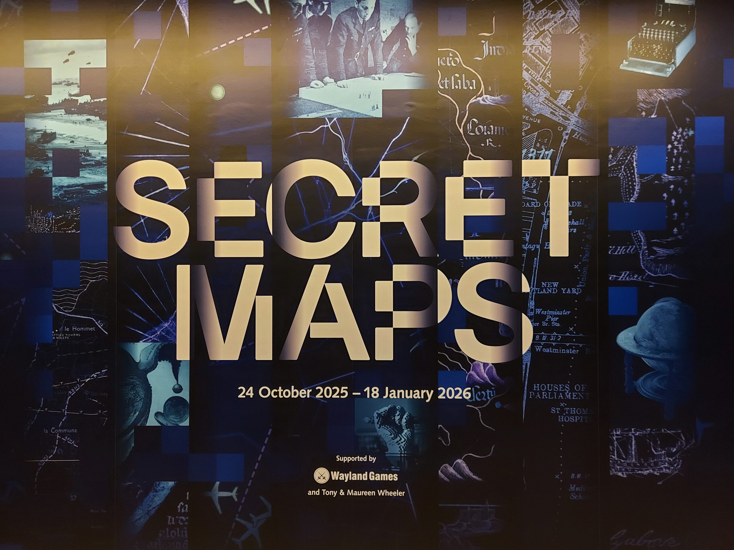
At the weekend I went along to the British Library to see the Secret Maps exhibition. Featuring over 100 items, the exhibition looks at how maps have played a role in secrecy through the ages, covering several centuries. It shows how maps can be political tools, valuable in global conflict as well as helping create a sense of community.
Some of the maps shown in the exhibition include maps of the English south coast commissioned for the Tudor court, trading routes used by the Dutch East India Company, and military plans for the D-Day landings. Others include the first maps of the proposed Partition of India, maps of sacred landscapes created by the Incas, and an A-Z of apartheid-era South Africa only featuring white neighbourhoods.
The fascinating exhibition shows how maps can take different forms, show very different things, and reveal contemporary prejudices, preoccupations and standards. Maps are certainly not neutral, and we can learn a lot from them.