Bluetits Cornwall: Explore the Lizard Peninsula

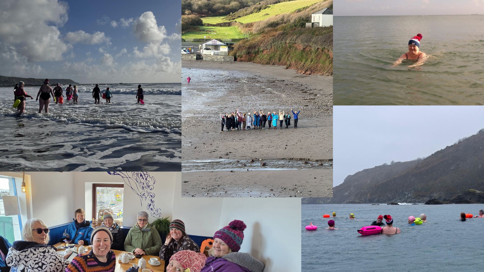
Collage of pictures from Bluetits trip

As part of my Gold Maverick Award, I had to take part in a residential away from home, with people I hadn’t previously met, for 4 days and 3 nights. I decided on a wild swimming retreat with Bluetit Holidays. The Bluetits are a well-known wild swimming organisation in the UK and beyond who meet at various locations for outdoor swimming. I’ve loved wild swimming ever since I completed the Rebel badge, so thought this would be fun.

I originally registered for a Welsh Waterfalls Weekend in September, but that was cancelled, so I ended up on this trip instead. I was a bit worried about getting in the sea in November, but as it turned out I needn’t have.
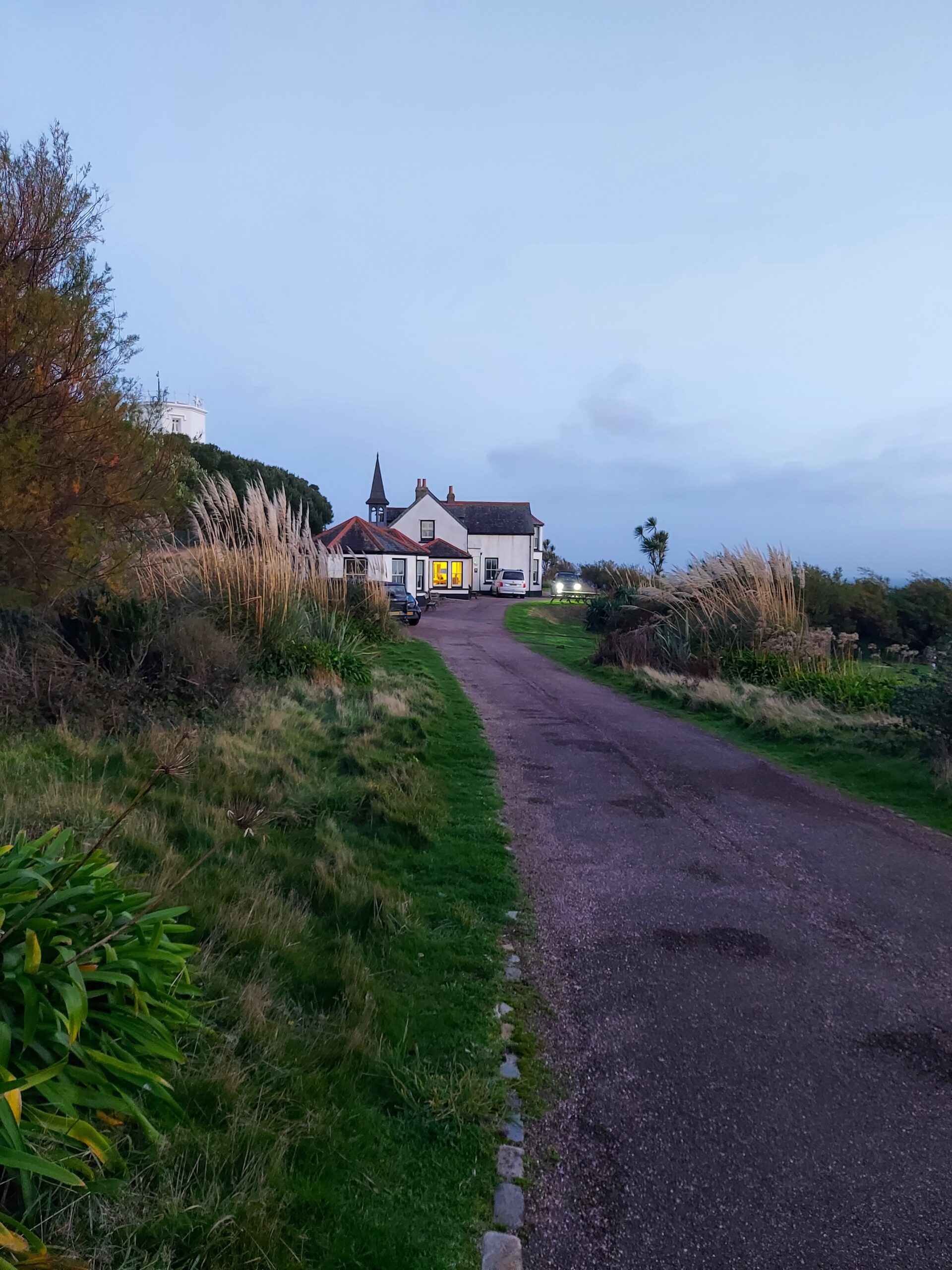
YHA Lizard Point

I took the train from Paddington to Redruth on the Friday, followed by a bus down to Lizard Point. I then walked the short distance to the YHA. I won’t lie, I was a bit nervous, but everyone was really friendly. We enjoyed an evening meal, initial meeting and introduction in the lounge.

The following day, we drove to our first stop, Kennack Sands. The sea was a bit rough here, so we did a lot of paddling and jumping in and out of the waves.
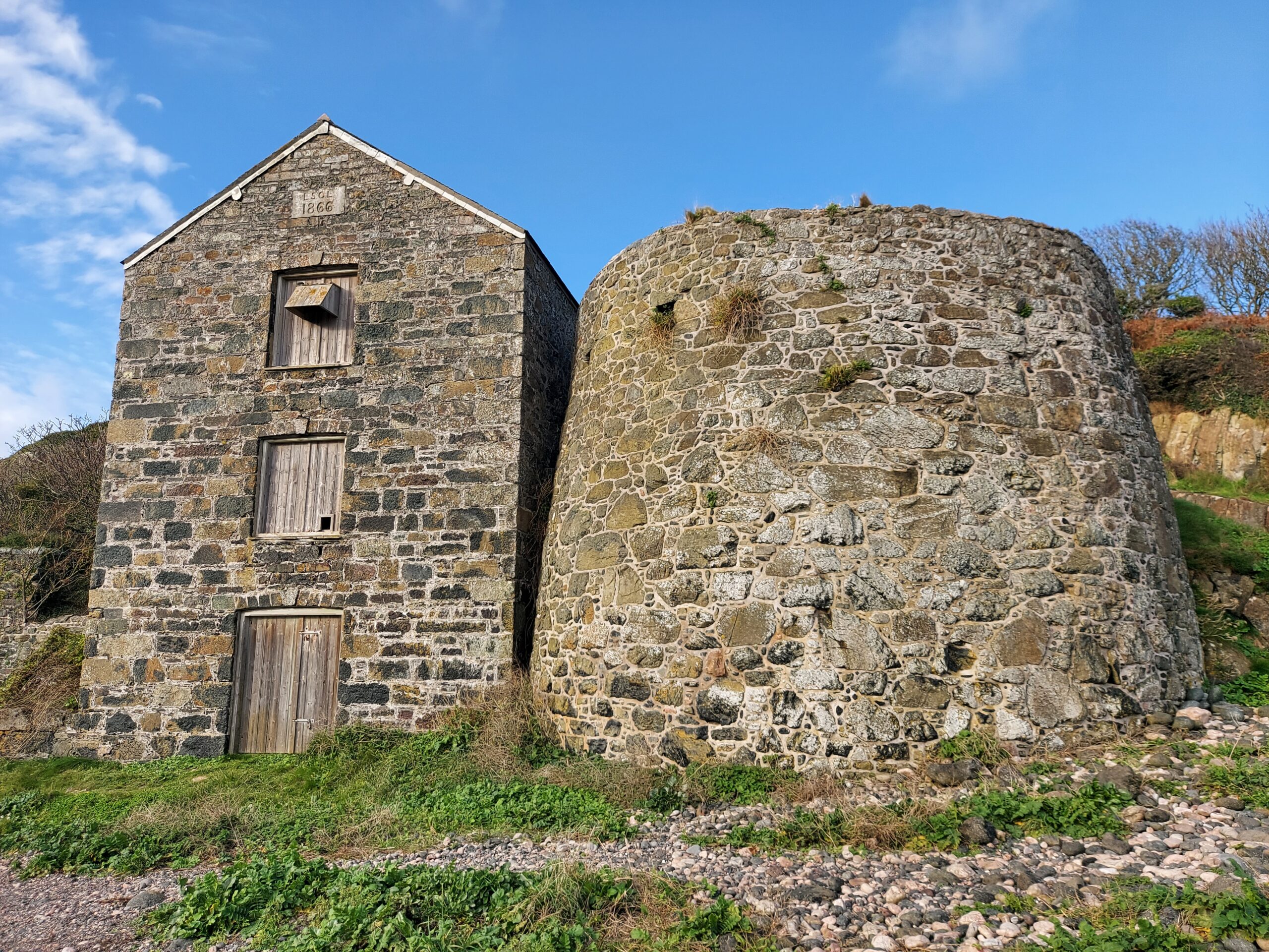
We then headed over to Coverack for a proper dip, after which we warmed up with a hot chocolate in a nearby café. I then went off with some fellow Bluetits to explore: we ended up at the Old Serpentine Works at Carleon Cove. In the evening we went out for tea in the Top House Inn and had a lovely time.

The following day, we stopped at Porthallow for a final dip before meeting for Sunday lunch in Housel Bay. I then walked back to the hostel via the coastal path with a fellow Bluetit. We stopped at another café for a Baileys hot chocolate and examined an excavation site at which some interesting discoveries had recently been made.
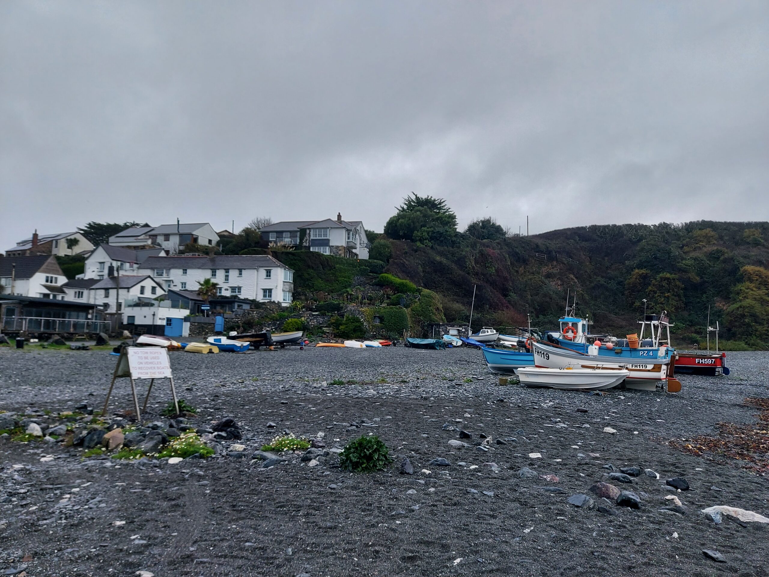
Porthallow

On our final evening, we had a quiz in the lounge before heading to bed early as most people had to be up in the morning – I heard some of them leaving before I even thought about getting up! I got a lift to Redruth from a kind Bluetit and caught my train back to London.

I was nervous about swimming in the sea as I’d only ever swum in rivers, lakes and reservoirs, but I loved it. I learned a lot about safety in the sea and how to assess risk, and enjoyed the gentle waves once you get a bit further out from the shore. The water wasn’t as cold as I had expected, and I feel more confident about sea swimming in the future.

I ended up loving my holiday and would definitely consider booking another Bluetits break.
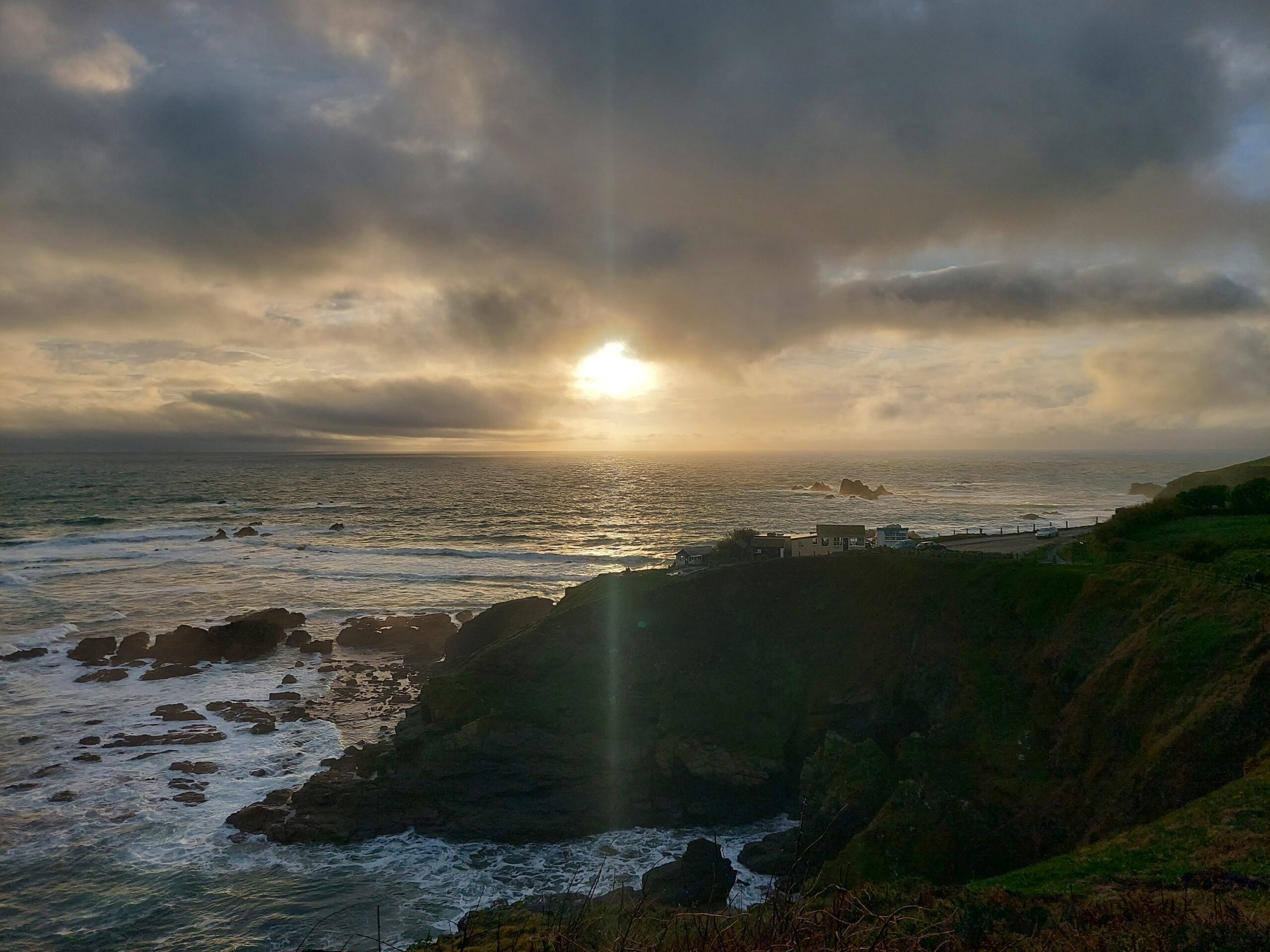
Sunset at Lizard Point

Hadrian’s Wall – Expedition

After completing our ‘practice’ Gold Maverick expedition back in May, comprising the first two days of the Hadrian’s Wall path, we planned our ‘main’ expedition for July. As luck would have it, this week was also super hot. With hindsight this was probably better than cold and rain – trudging up and down hills in the mud would not have been fun – but at the time I cursed the sun repeatedly.

Day 0: Chollerford to Greencarts, 2.5 miles

Heather and I met in Chollerford on the Wednesday, where we had left off last time. We didn’t have far to go to reach our destination – only a couple of miles – so we decided to pay a visit to Chesters Roman Fort first. After that, it was a walk of less than two hours to reach Greencarts Campsite and Bunkhouse.

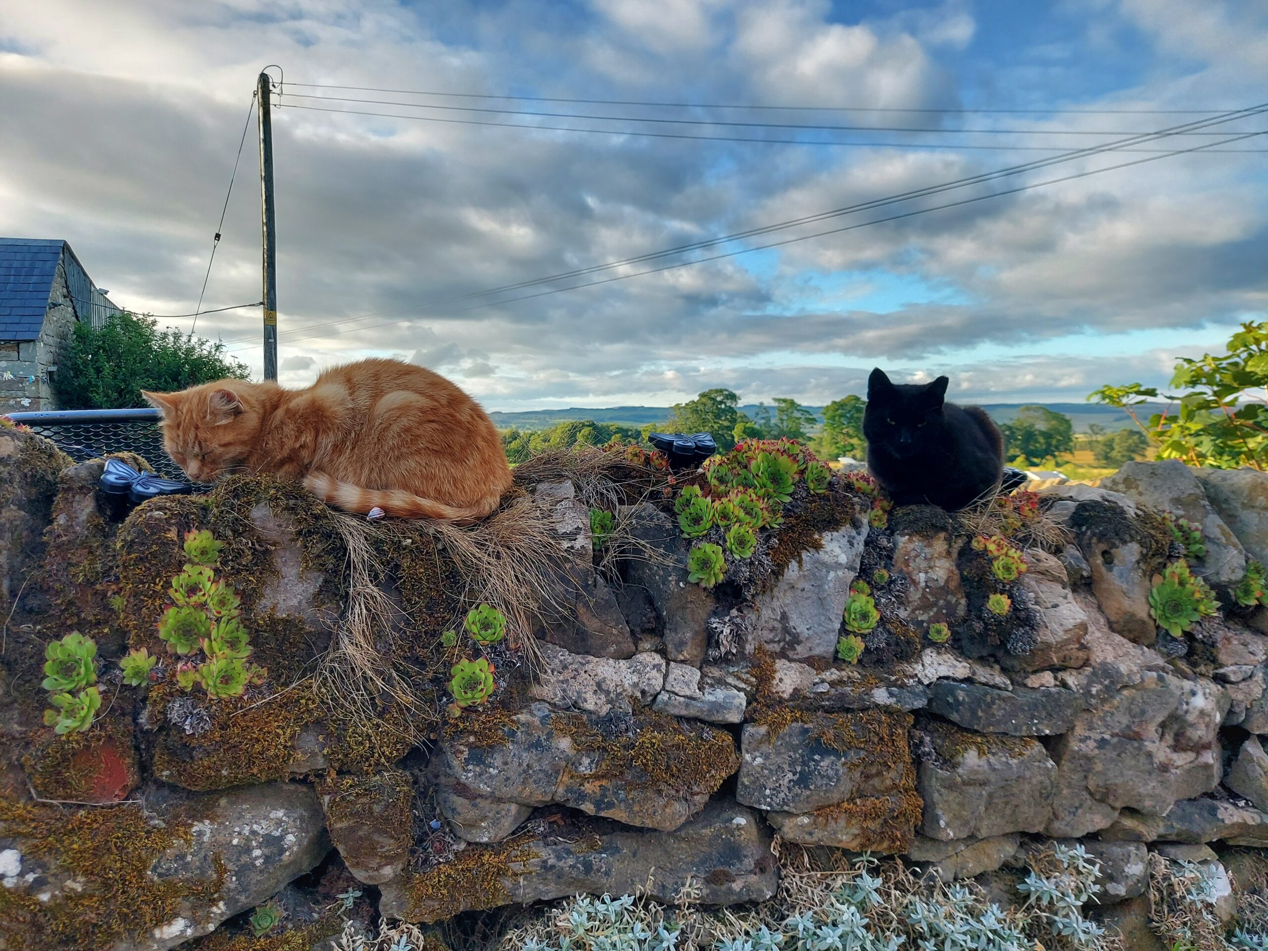
Two cats on a wall at Greencarts

Day 1: Greencarts to Once Brewed, 12 miles

The expedition proper began the following day. We left early to try and beat the heat, although it was still pretty warm in the morning. The path followed the road for several miles before breaking off towards the end.

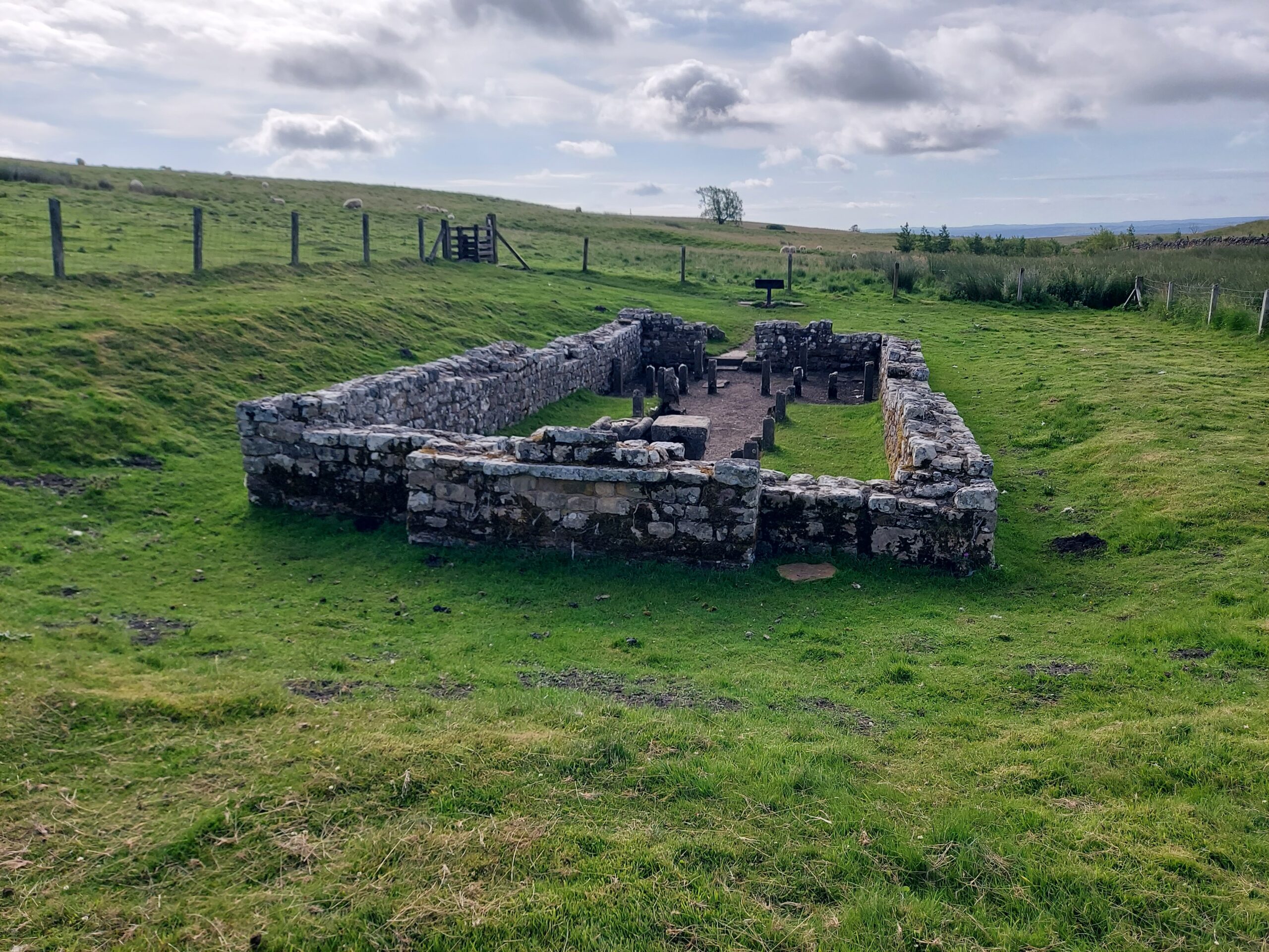
Temple of Mithras

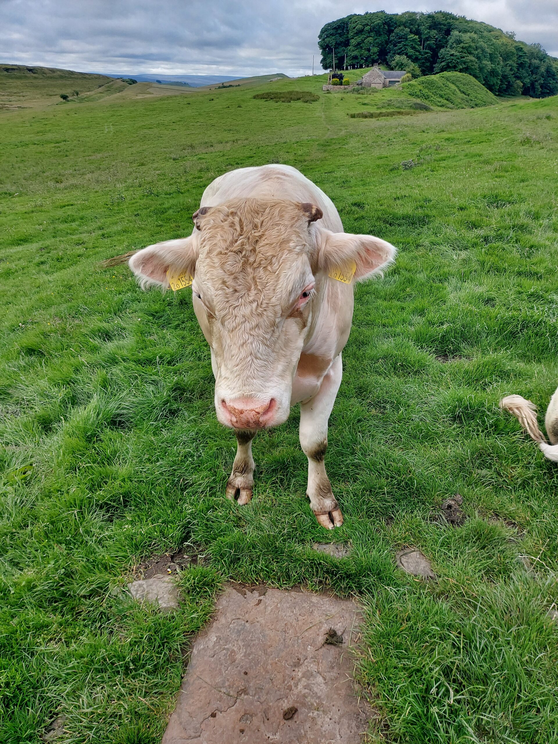
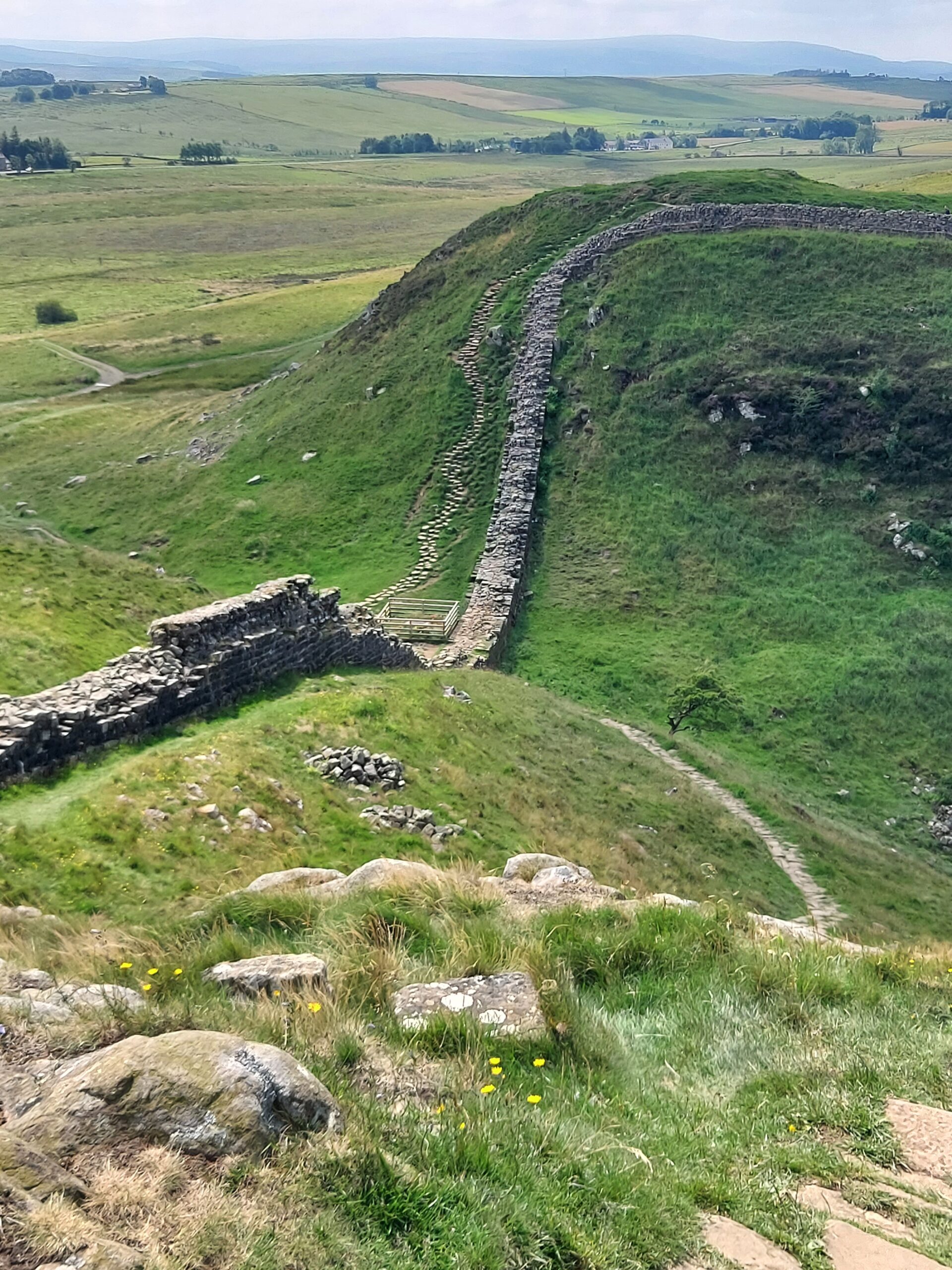
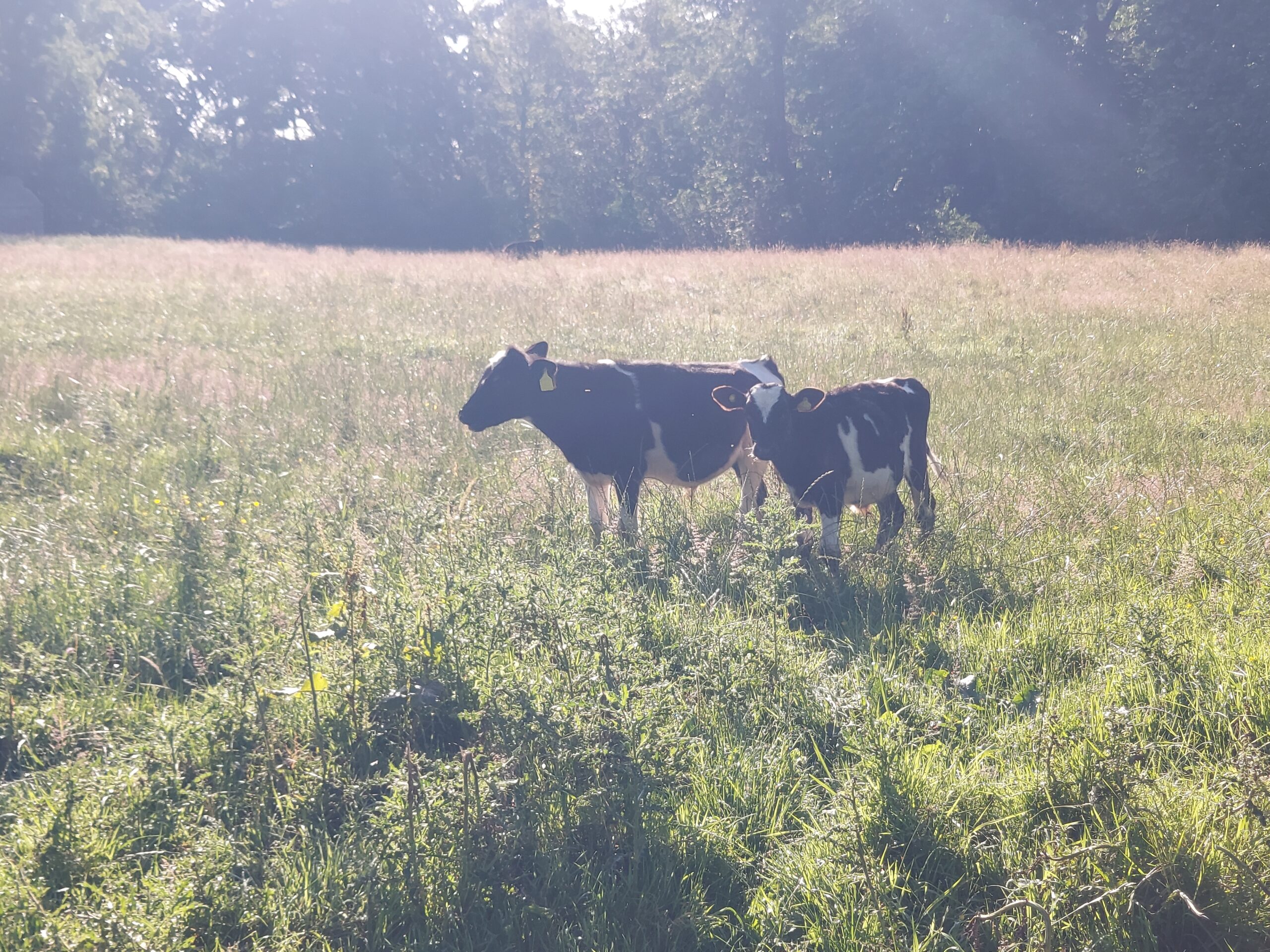
We saw some interesting things, including the ruins of Carrawburgh Roman Fort, and a Temple of Mithras. We also said hello to several cows, who were thankfully friendly. There was lots of the wall to see and several milecastles.

A friendly cow

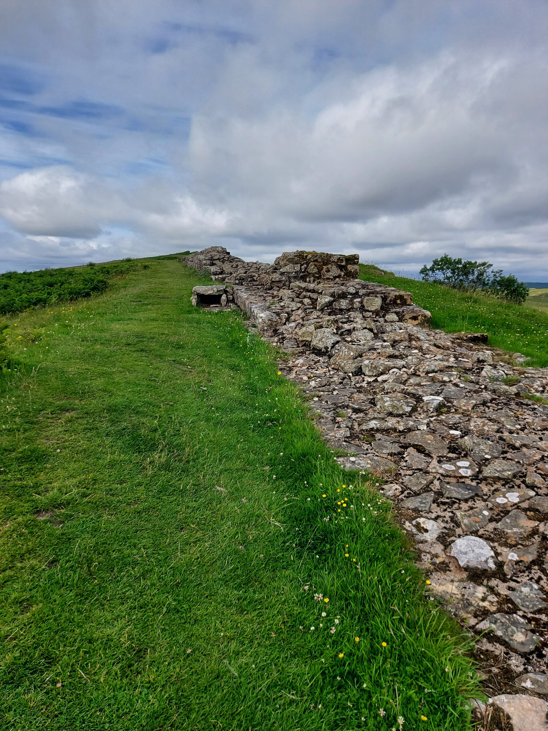
A section of Hadrian's Wall

At Housesteads we were met by Naomi, a fellow Rebel, and her children. She brought us snacks and we took the opportunity to have a nice sit down. On leaving, we enjoyed walking on the one part of the Wall it is still ok to tread on. It was an amazing feeling to think I was walking where so many Roman feet trod before me.

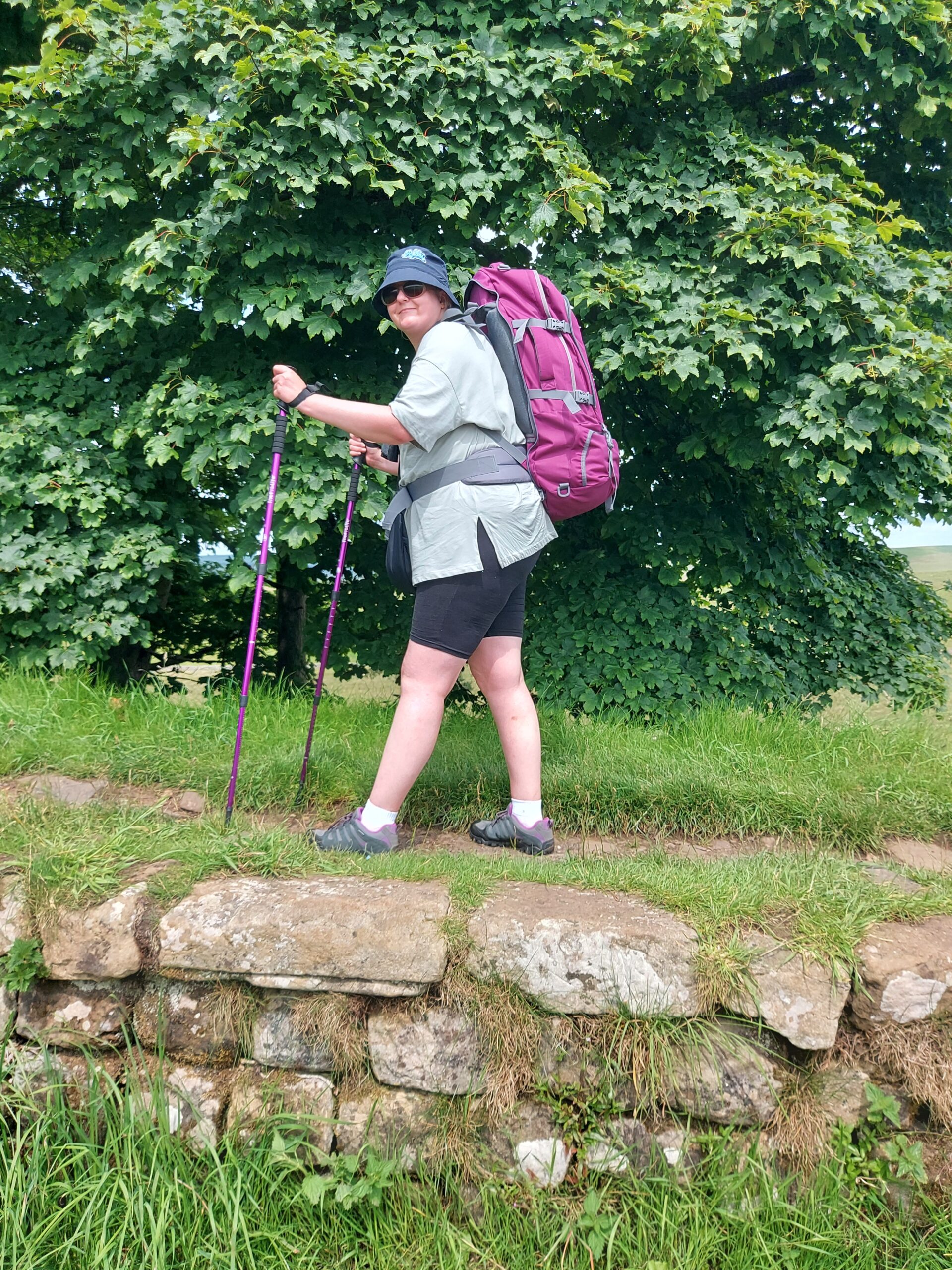
Me standing on top of the Wall

Around this time we passed Sycamore Gap. It was sad to see the spot where the once-magnificent tree stood.

Sycamore Gap, sadly without the sycamore

Once we’d finished the day’s walk, we were shattered so we did get a bus to the Bridge House B&B, our home for the night. It was fantastic just to sit down! We popped into a local pub for tea but didn’t stay up late, as we wanted to get going early in the morning.

Day 2: Once Brewed to Banks, 13 miles

The next day was probably the hardest of our trip. The first part of the day involved trudging through what felt like miles of marshland on our quest to find the Wall. I’m sure we were a little lost at this point. Eventually we reached Gilsland and stopped for a rest and some food at House of Meg.

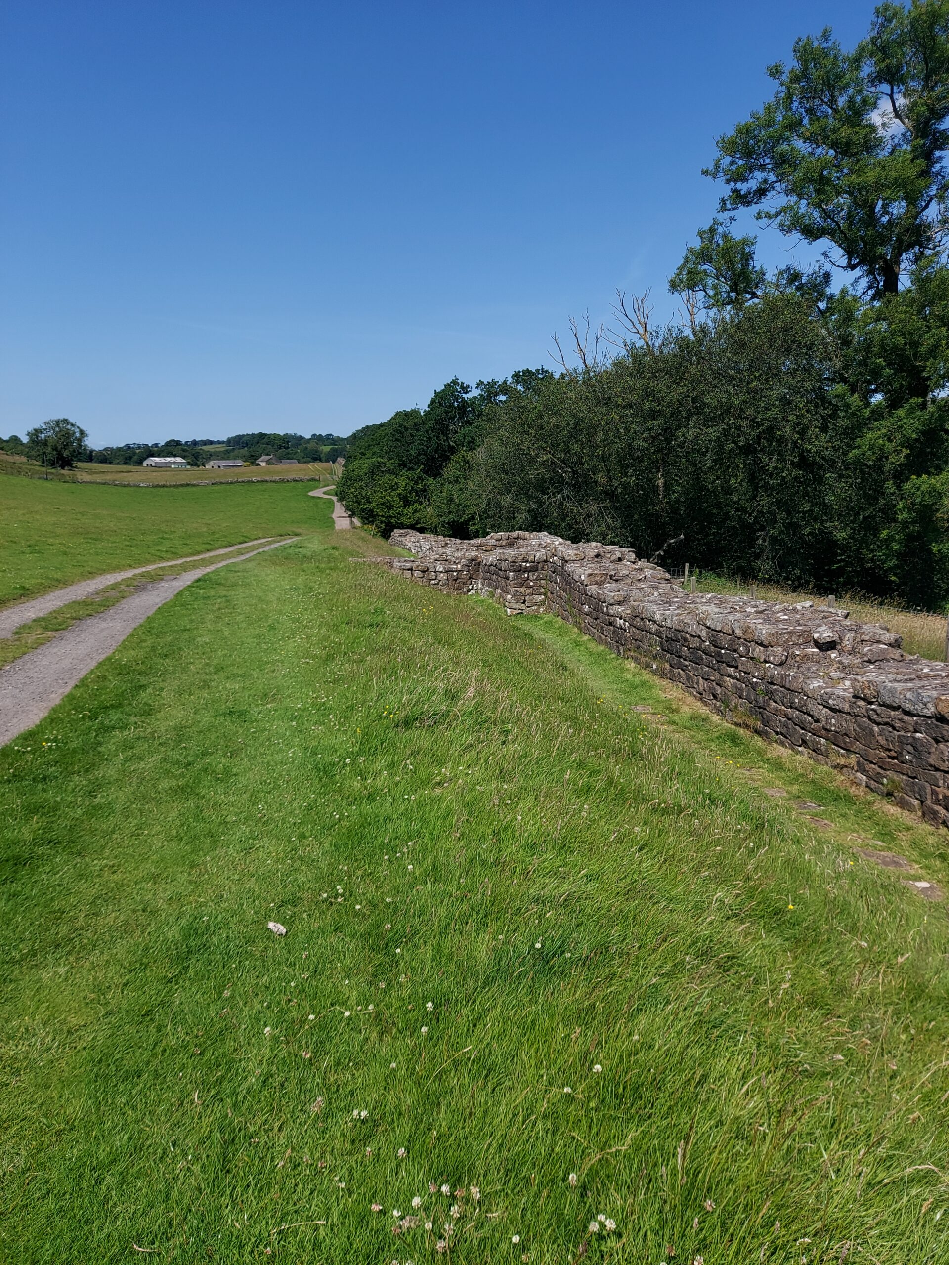
A section of wall

Heather was exhausted at this point and made the decision not to go on that day. This was definitely the right decision for her. I on the other hand knew that if I stopped walking for the day it would be down to laziness, as I knew I had the ability to go on. So I resolved to walk by myself to Banks. After a long sit down and rest I felt refreshed although the long pull uphill shortly afterwards almost killed me!

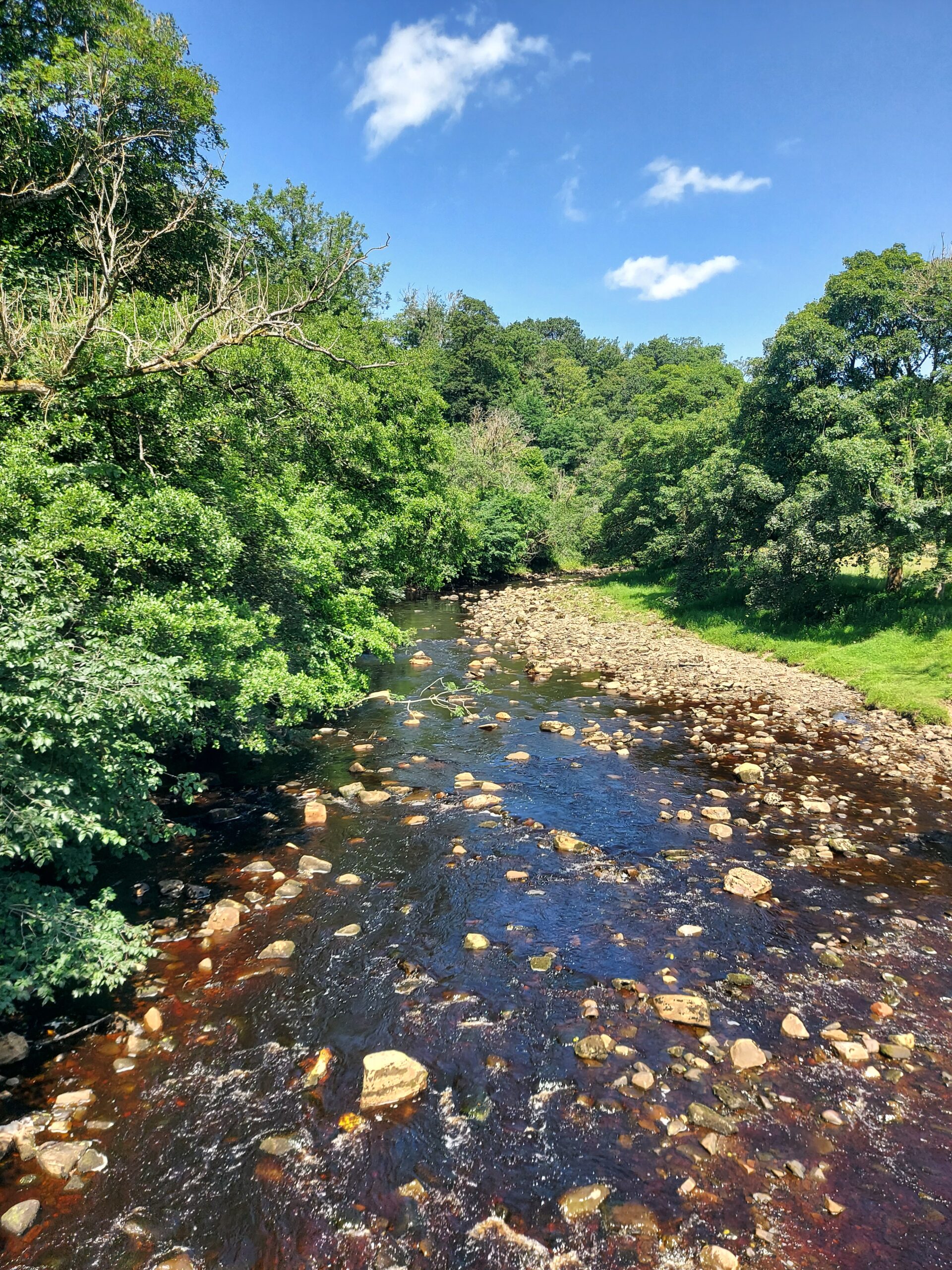
Crossing the river

I soon reached Birdoswald Roman Fort and had a rest and an ice cream before going on. Luckily the rest of the day’s route was fairly flat, and I had no problems following it. I was very relieved, however, to arrive at Banks, finally have a wash, and go to sleep.

Day 3: Banks to Carlisle, 14 miles

We woke up feeling much refreshed and set off early, hoping to reach Carlisle all the sooner. In some ways the day was easier than those that had gone before, being much flatter. However, it was also the hottest day of the trip so far and the last few miles into Carlisle were a struggle. On the way, we could see locals paddling in the river and I felt extremely jealous!

Cows

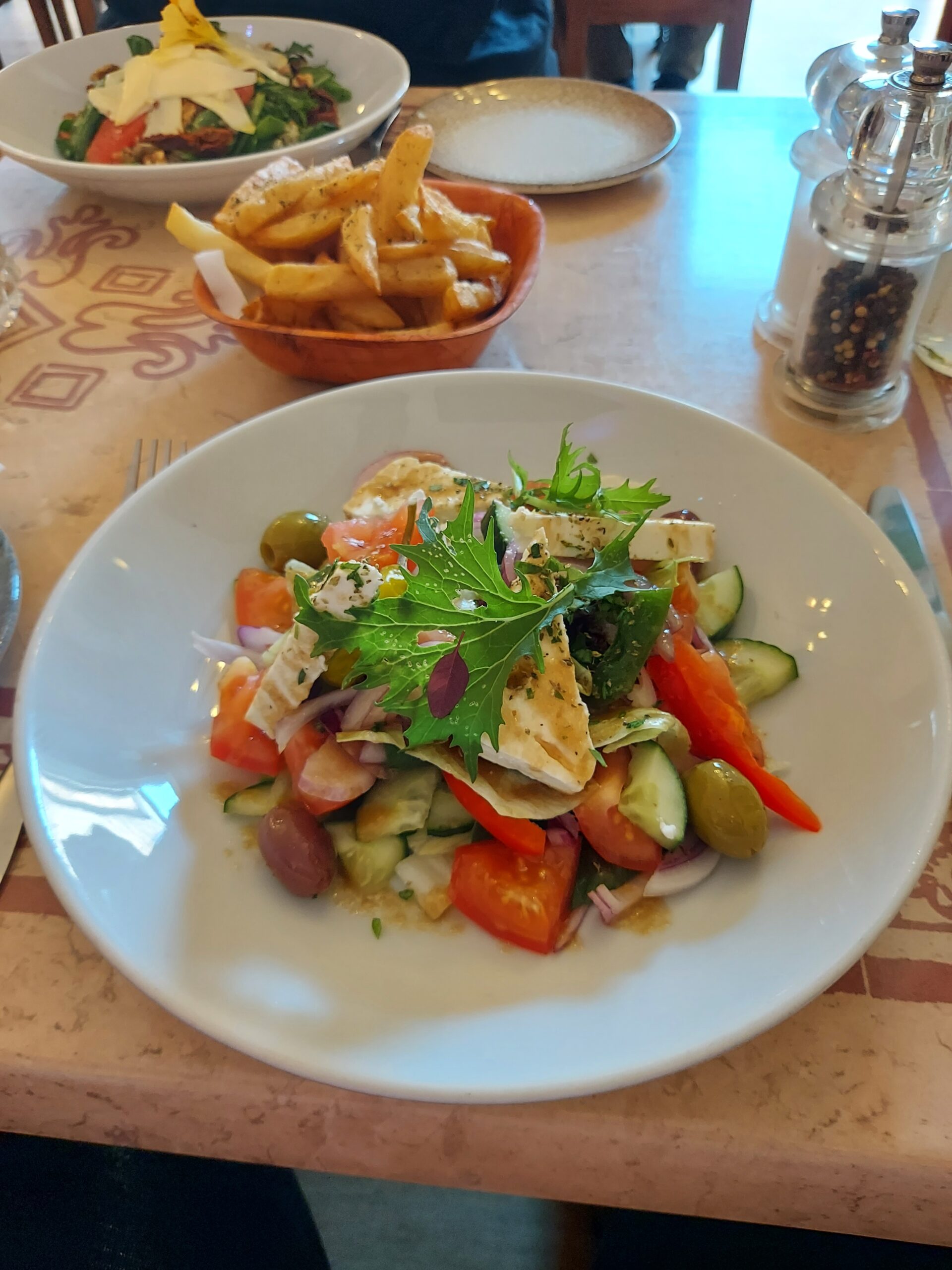
Finally, we arrived at Abberley House, where we were to stay the night. Later on we met Claire, a fellow Rebel who was going to walk the last part of the way with us, and we went out for a meal at Alexandros Greek Restaurant.

Greek salad

Day 4: Carlisle to Bowness-on-Solway, 13 miles

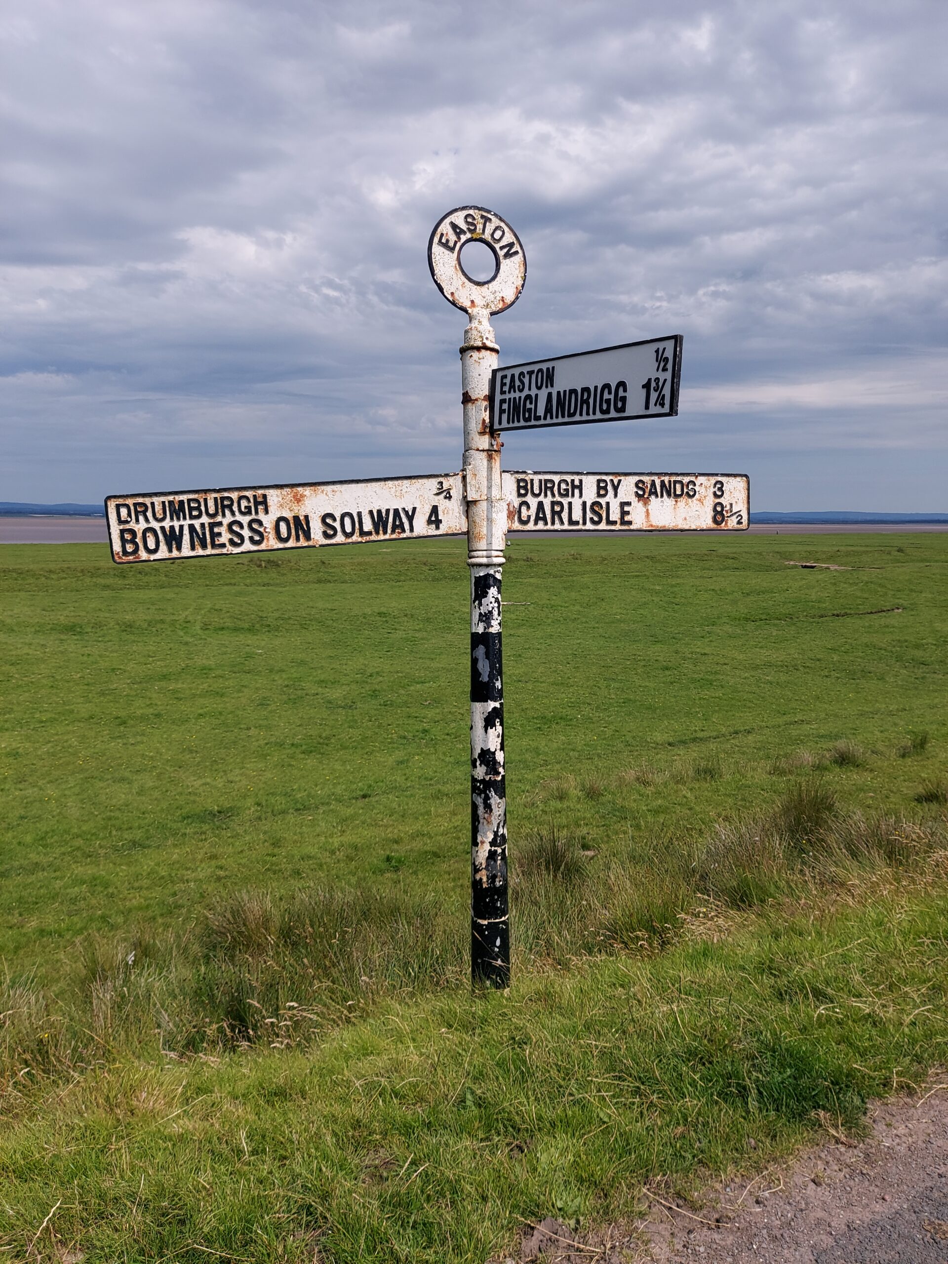
Signpost indicating Bowness on Solway 4m and Carlisle 8 1/2 m

After breakfast, we headed out fairly early, once again hoping to beat the heat (a forlorn hope!). The first part of the walk was pleasant, on shady paths, but there was a long section where we were just walking on country roads with no shade in sight (to be honest, I think we went the wrong way). We had to make quite a few stops, but the walk improved when we got closer to the Solway estuary. We were amused by the cows, who appeared to be following another group of walkers, although we did wonder if we had somehow entered purgatory as we seemed to be walking for miles and miles without getting anywhere.

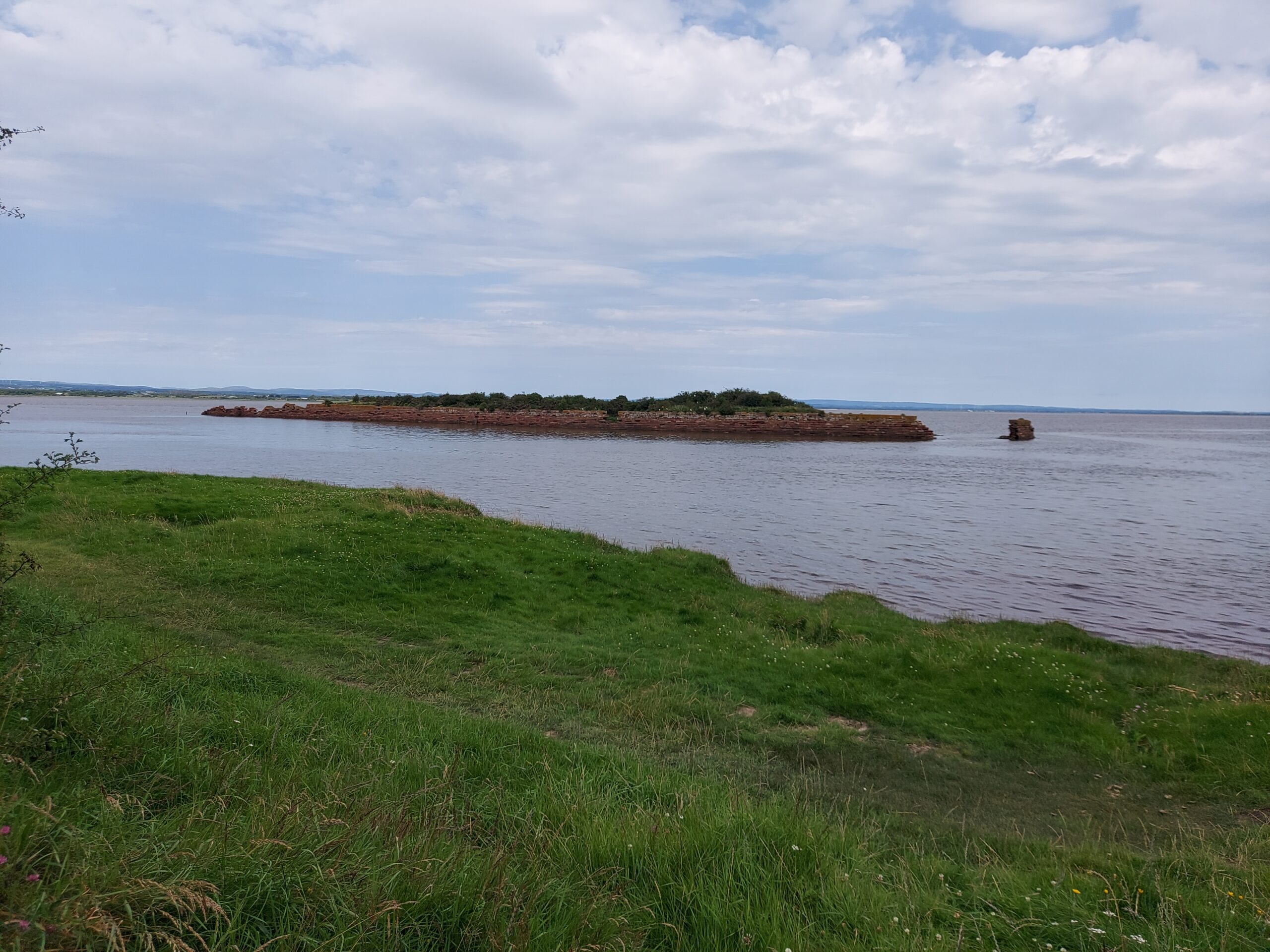
An island in the mouth of the river

The last part of the walk followed the river round past the Port of Carlisle and into Bowness-on-Solway, where we were incredibly happy to arrive. We had a well-deserved celebratory drink in The King’s Arms before sharing a taxi back to Carlisle with a couple who’d also finished the walk.

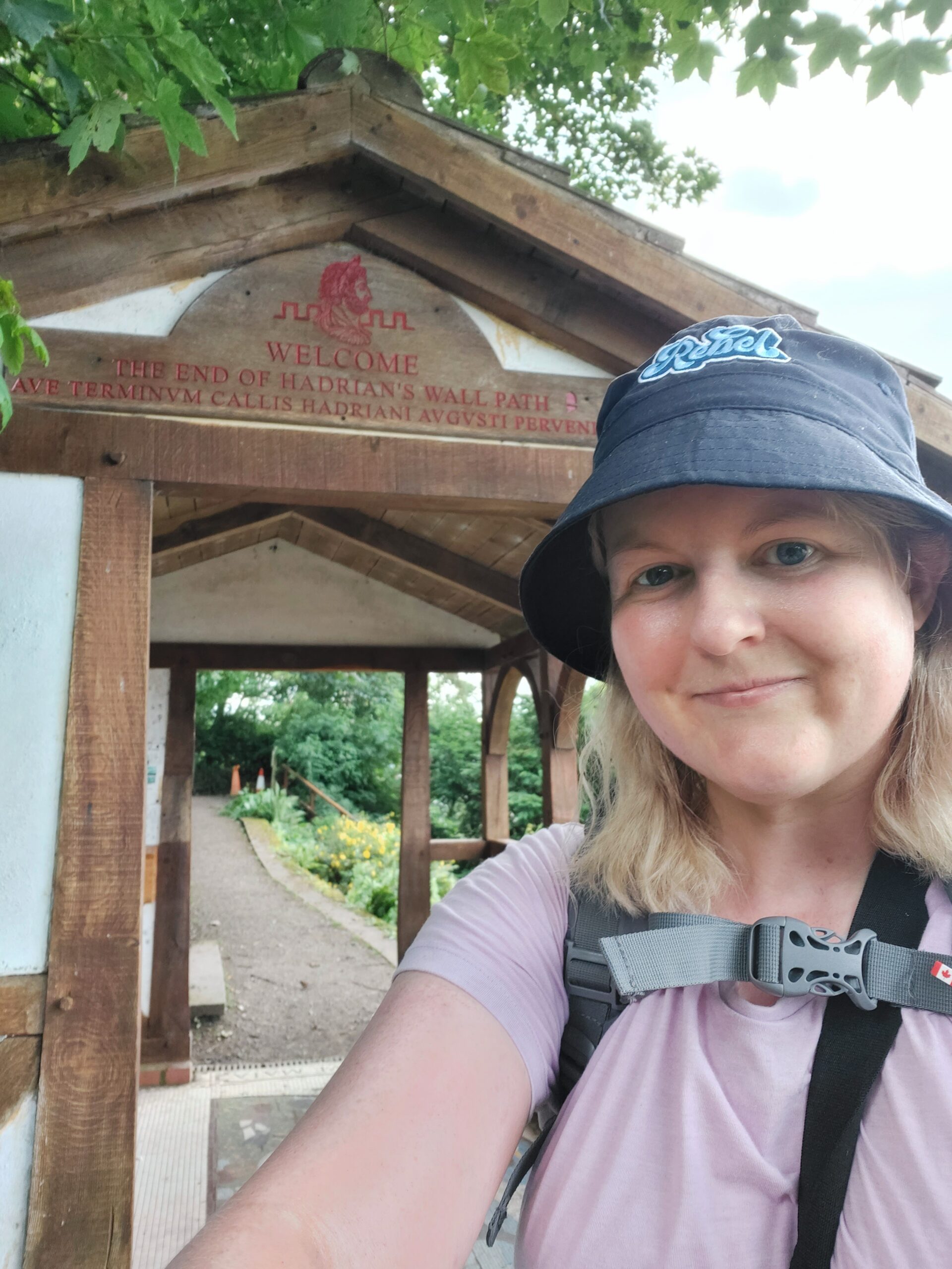
Me outside the endpoint of the walk at Bowness on Solway

I feel so proud that I’ve been able to finish the Hadrian’s Wall walk and I will be ordering my certificate and badge asap! I would love to go back to specific places on or near the Wall that I didn’t have a chance to explore properly, but as for doing the walk again – not a chance.

Hadrian’s Wall – Practice Expedition

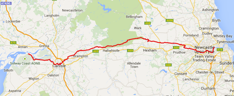
I must be slightly insane because this year I’m planning to walk Hadrian’s Wall. I’m doing it as part of my Gold Maverick Award, which is an assessed Rebel Badge Club challenge similar to the Duke of Edinburgh’s Award. I’m walking with Heather, a fellow Gold Maverick. The route is 84 miles, or 135 kilometres, between Bowness-on-Solway in the west and Wallsend in the east. After discussion, we opted to walk east to west, beginning at Wallsend.

Plan of Hadrian's Wall walk

As part of the Award we have to complete a ‘practice’ expedition followed by the ‘real’ expedition. We’ve decided to complete part of the Wall for the ‘practice’, and the rest for the ‘real’. The main expedition takes place in July, and we completed the ‘practice’ this past weekend. Our trip coincided with the hottest weekend of the year, which wasn’t ideal, but at least it wasn’t pouring with rain!

We met on the Friday and went for a couple of drinks in Newcastle before the adventure began. We also had tea at Wetherspoon’s – the Mile Castle – which seemed particularly appropriate. We stayed at the Albatross Hostel in a private room with bunk beds – comfy and good value.

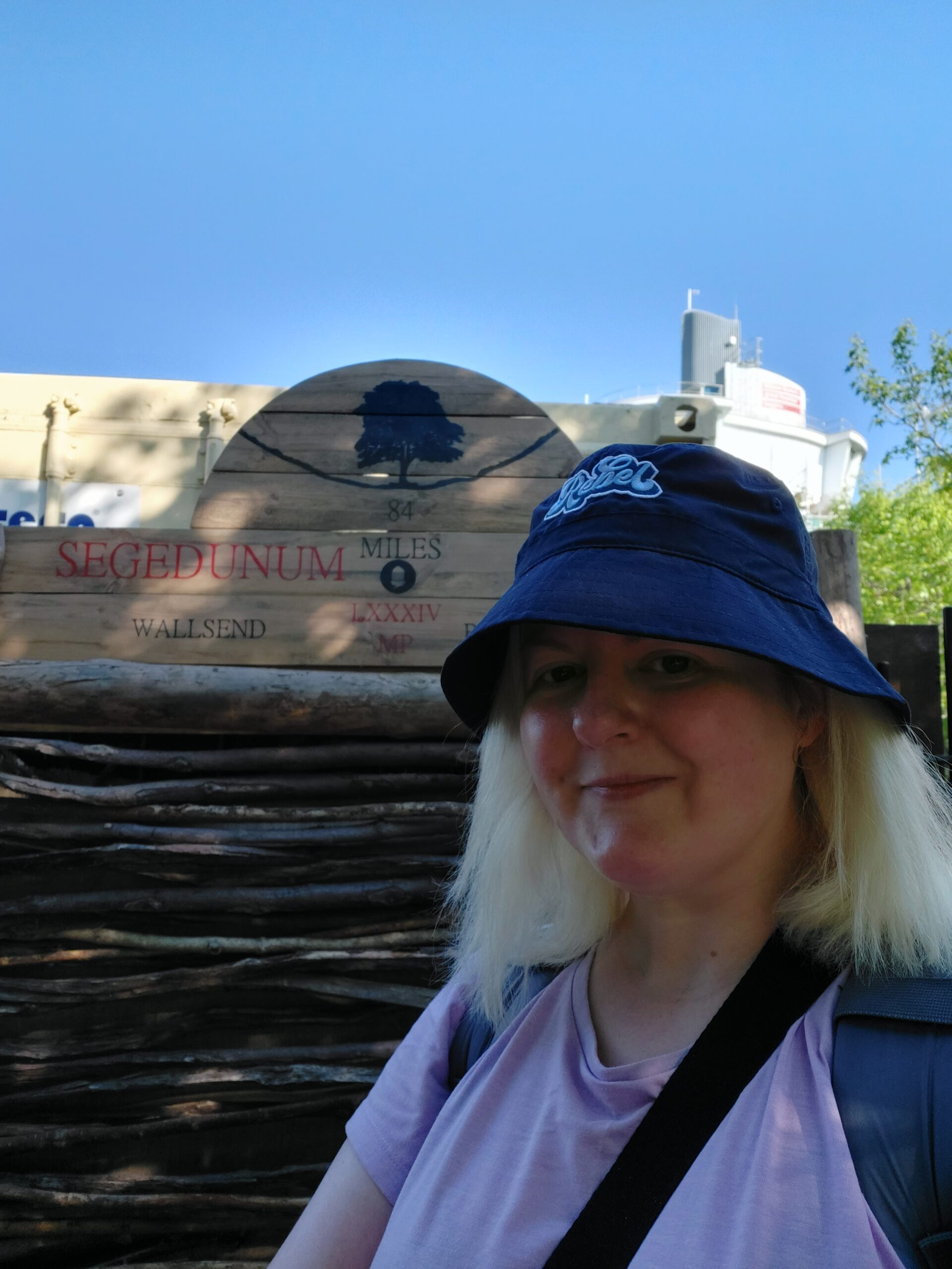
Me at the beginning of Hadrian's Wall at Wallsend

Day 1: Wallsend to Heddon-on-the-Wall, 15 miles

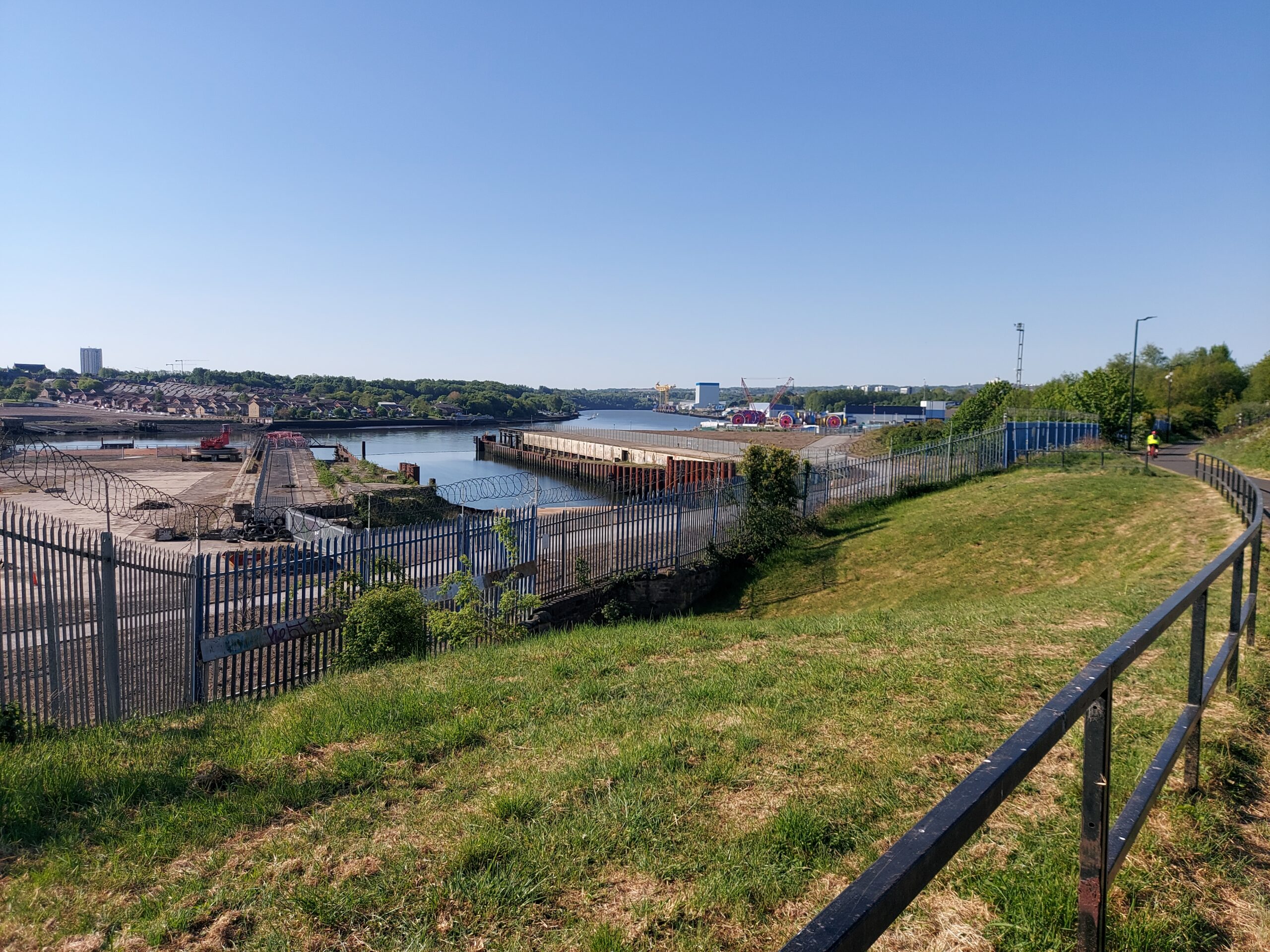
The Tyne at Wallsend

Our first full day of walking began at Wallsend – we took the Metro there and got our passports stamped at Segedunum Roman Fort. Our walk began with a long trek over pavements alongside the Tyne, with a section cutting through the centre of Newcastle. I confess the temptation to stop for a cocktail by the river was strong at this point, but we managed to resist! After a couple of hours we stopped for something to eat at Liosi’s Sicilian Cafe Bar.

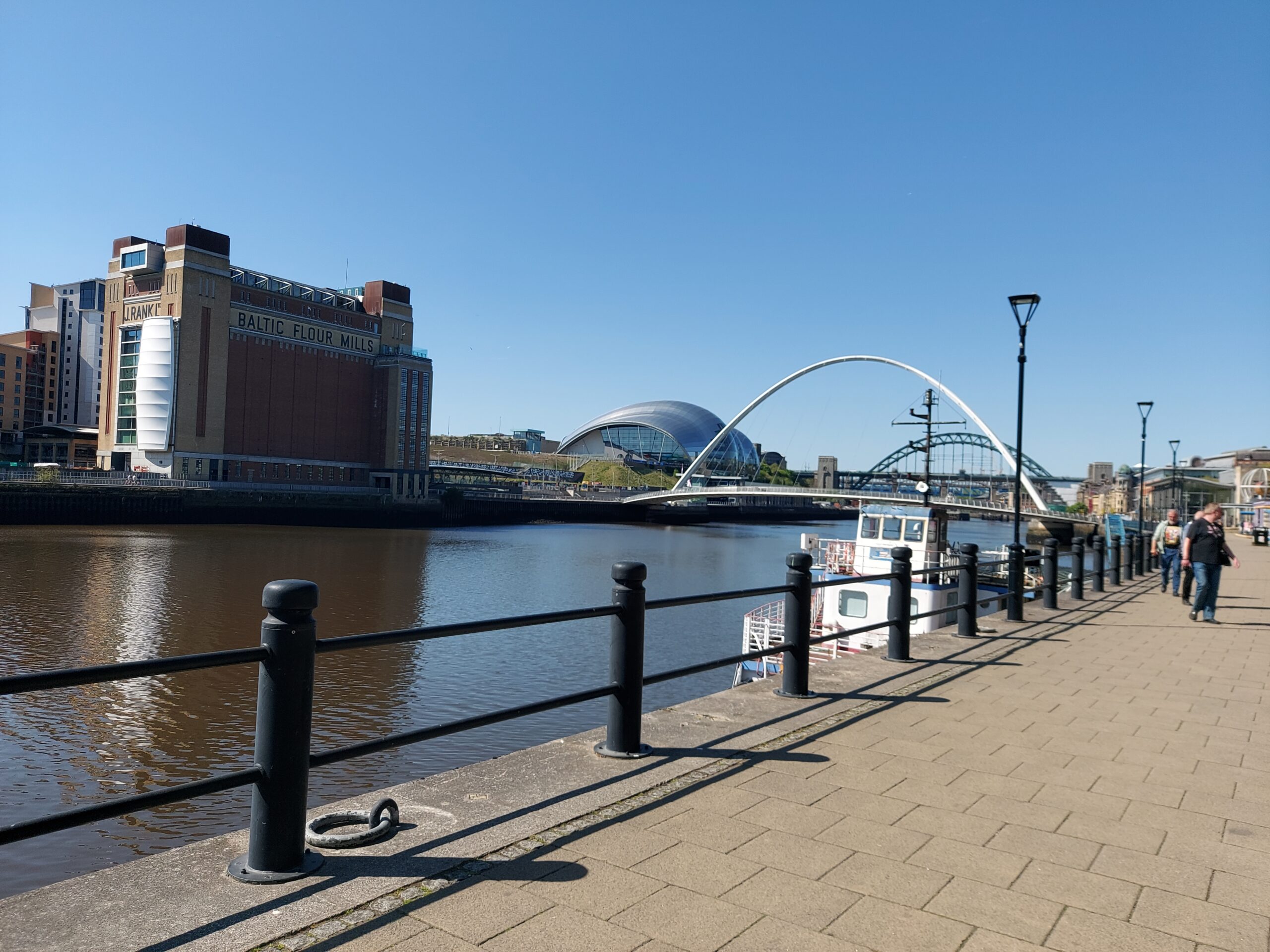
The Tyne with the Baltic, the Glasshouse, the Millennium Bridge and the Tyne Bridge in the background

The walk then took us further beyond Newcastle, alongside the river for much of the way, with a final long pull uphill to end the day with. We passed someone enthusing about a nearby observatory but we were too tired to make even a short detour!

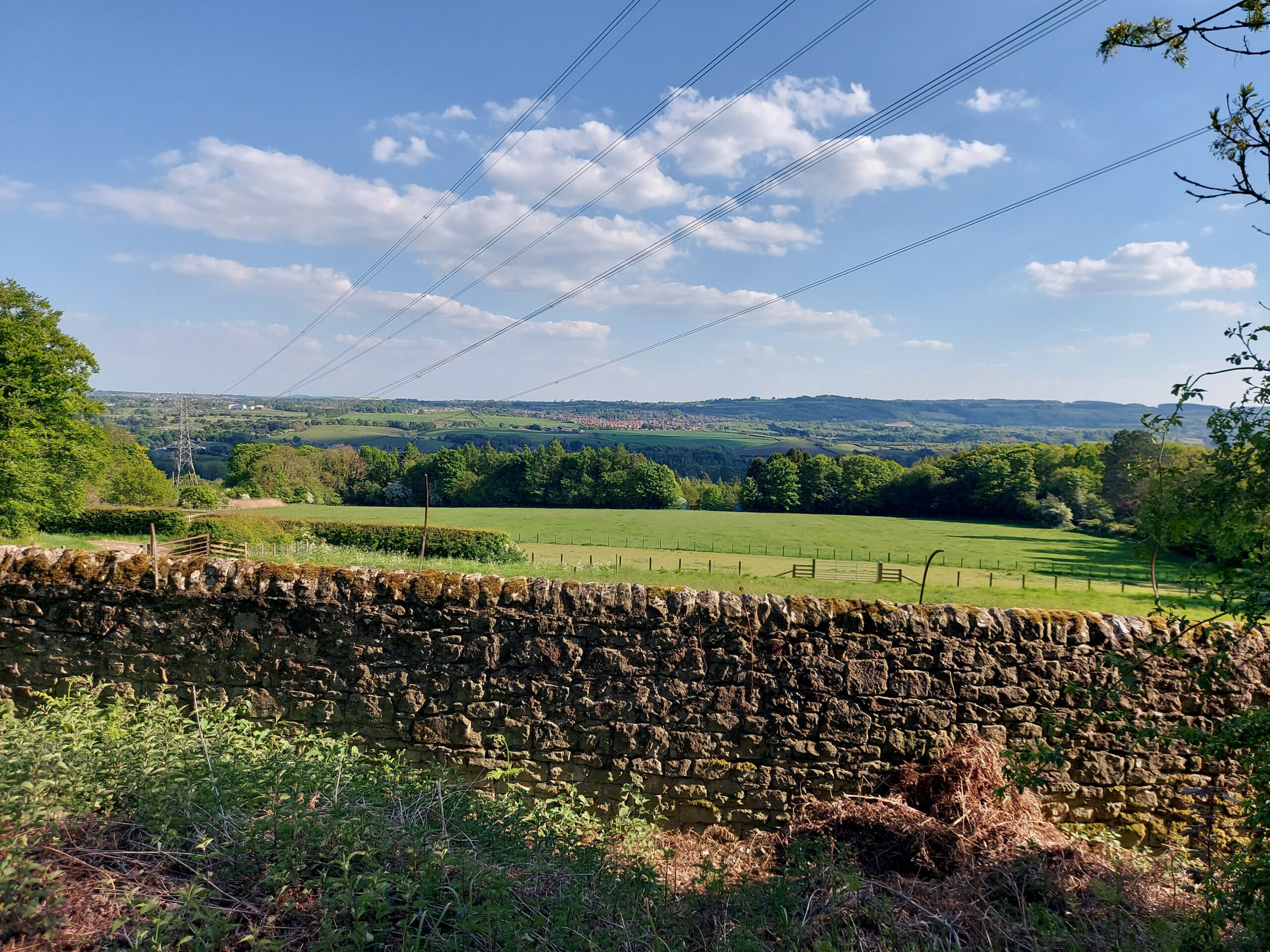
View on the way to Heddon-on-the-Wall, a blue sky with a few white clouds, a stone wall and rolling fields

Eventually we arrived at Heddon-on-the-Wall, exhausted, and had tea at The Swan before walking a short distance to Houghton North Farm, where we were staying. We ended up ordering pizza as we were much too tired to cook!

Day 2: Heddon-on-the-Wall to Chollerford, 14.5 miles

The following day, we set off in good time to start our journey to Chollerford. It was very hot again today. We stopped off at the Robin Hood Inn for a much-needed break and to get our passports stamped, before starting on the next section. The path here mostly ran alongside the B6318 and the old military road, so it was fairly easy to follow, though we didn’t see much of the wall itself.

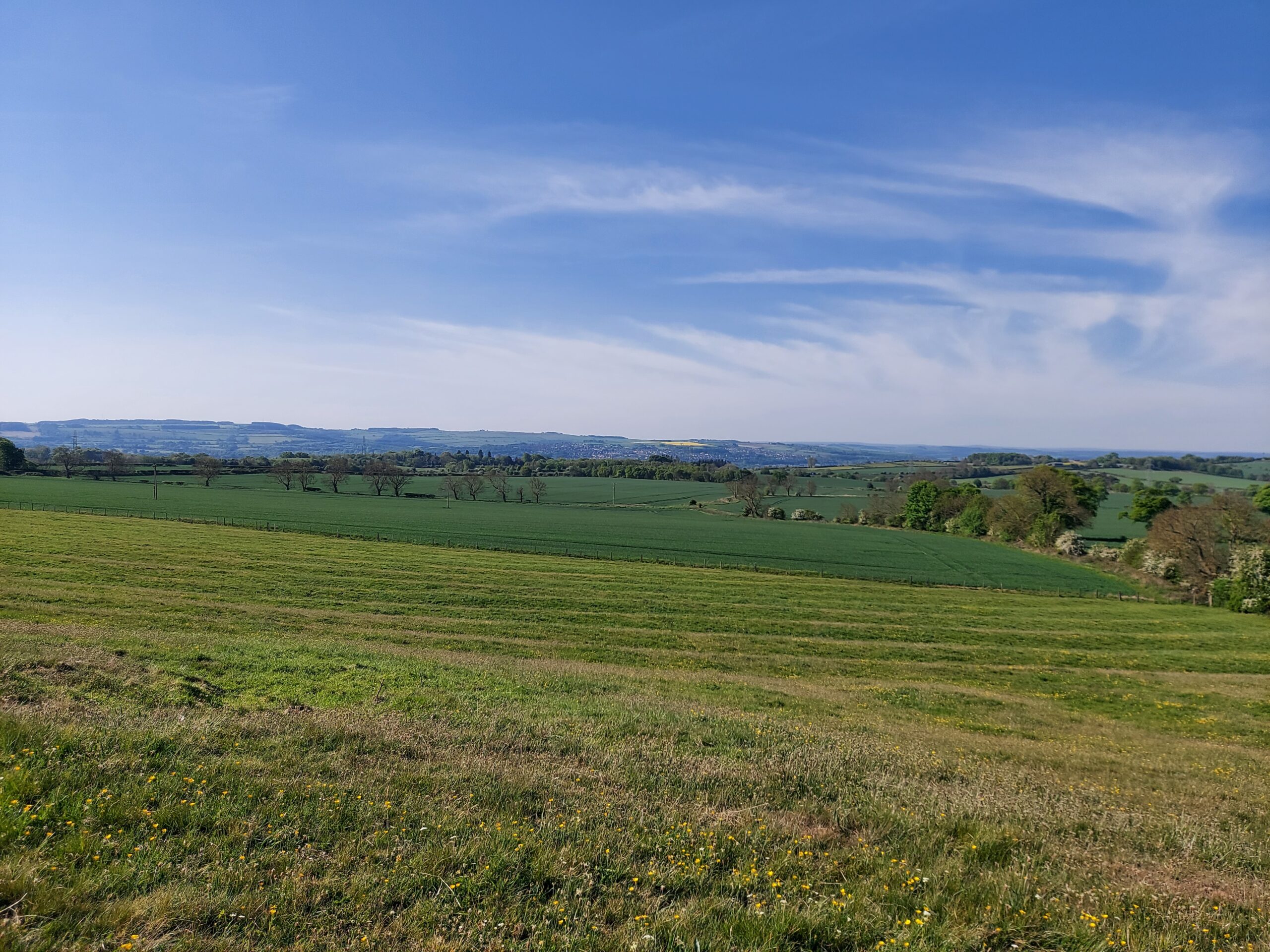
View on the way to Chollerford, a wide blue sky with fields beneath

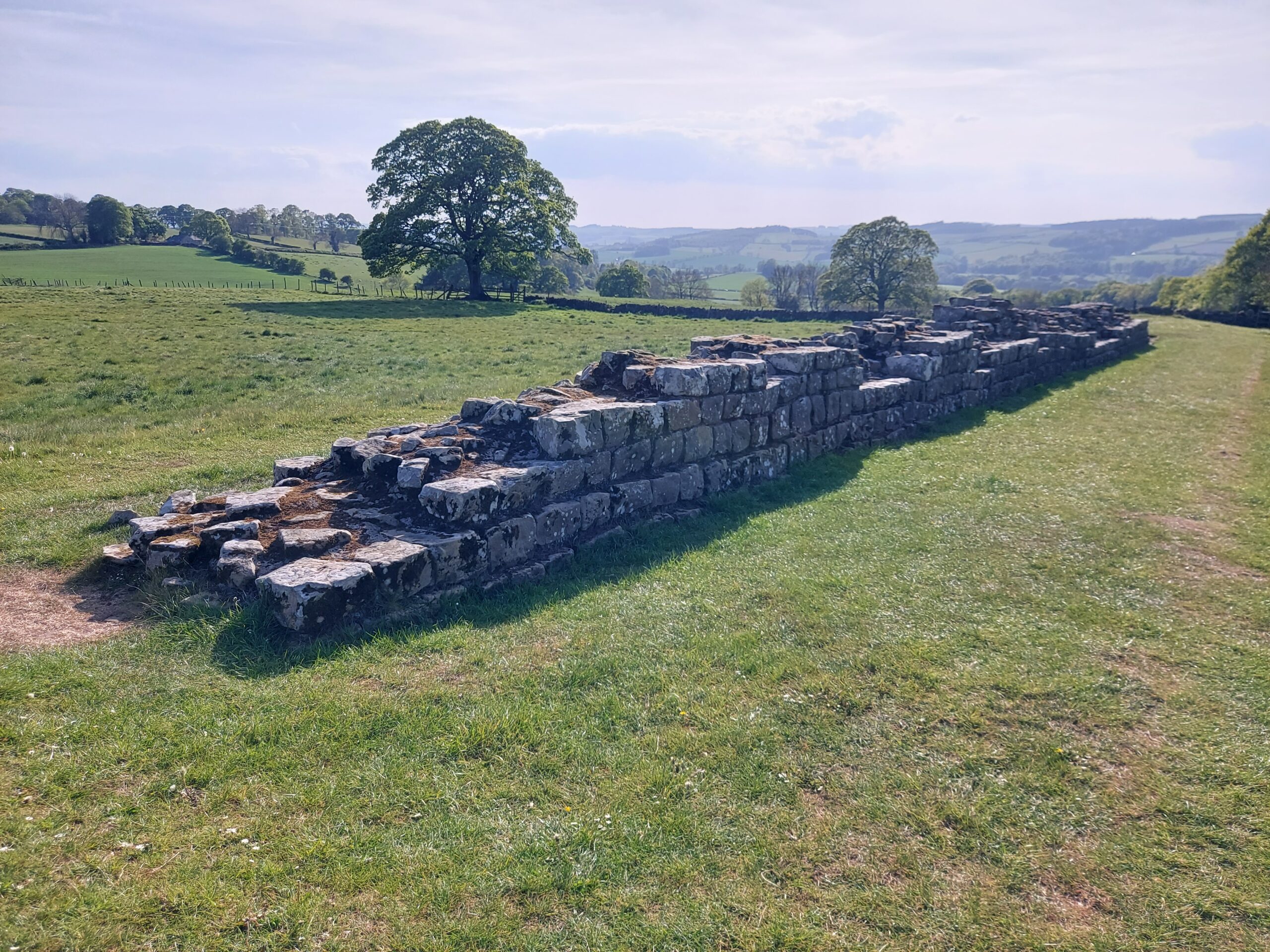
We had a break at Errington Coffee House and enjoyed a sandwich before embarking on the final leg of our journey. We were pleased to come across a decent chunk of wall towards the end, which boosted our spirits somewhat!

A piece of wall

Arriving in Chollerford later than we had planned, I ended up phoning my brother to come and get me. It was sobering driving back home along more or less the same route I had been painstakingly walking for the last two days.

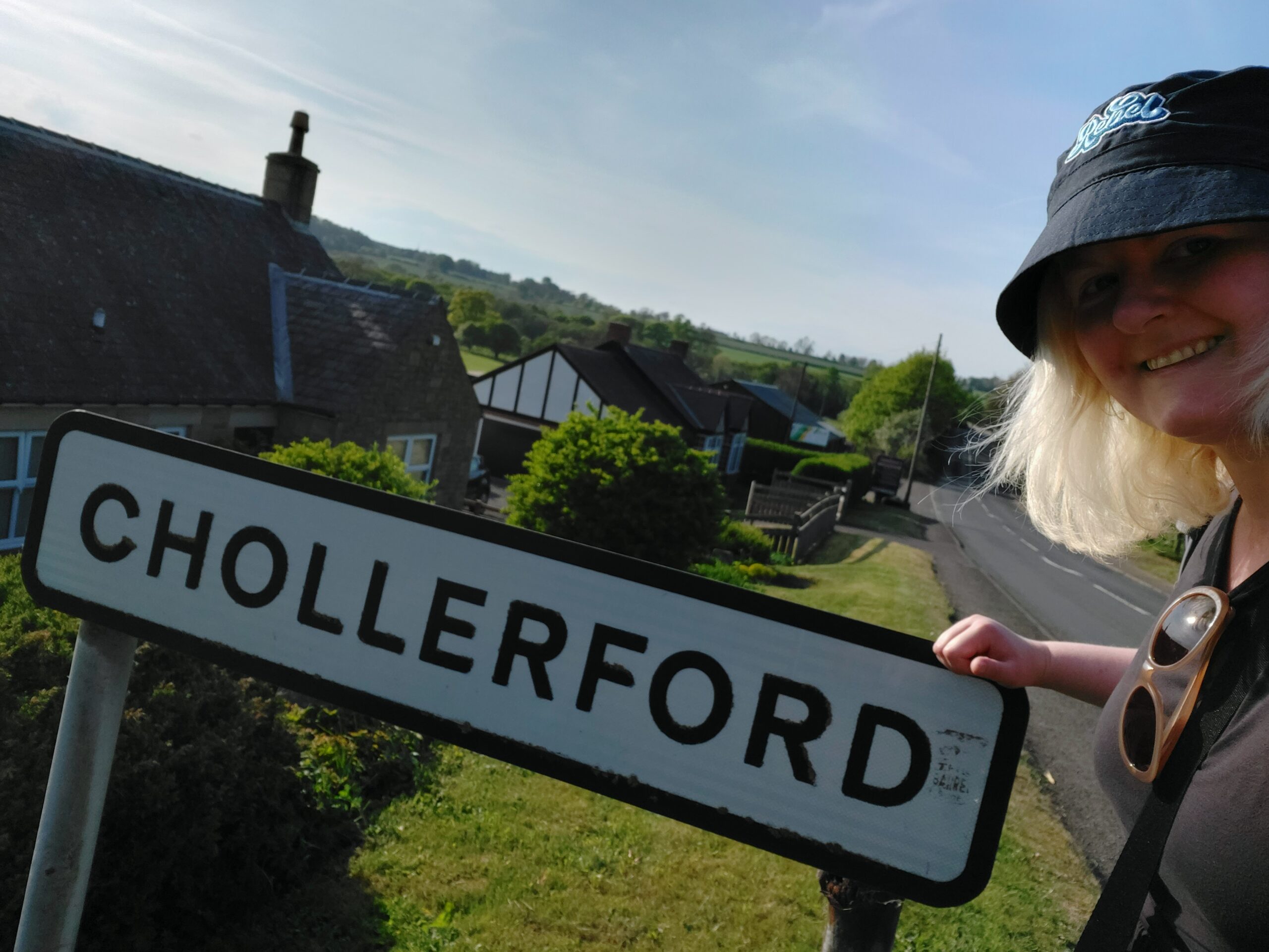
Me with the Chollerford sign

We ended up doing around 30 miles this weekend, which was a decent chunk of the walk. I was pleased that we managed to complete it, and learned what to do and what not to do during the ‘real’ expedition in July. One important point being – don’t leave your walking poles at home!