Birdoswald Roman Fort

Birdoswald

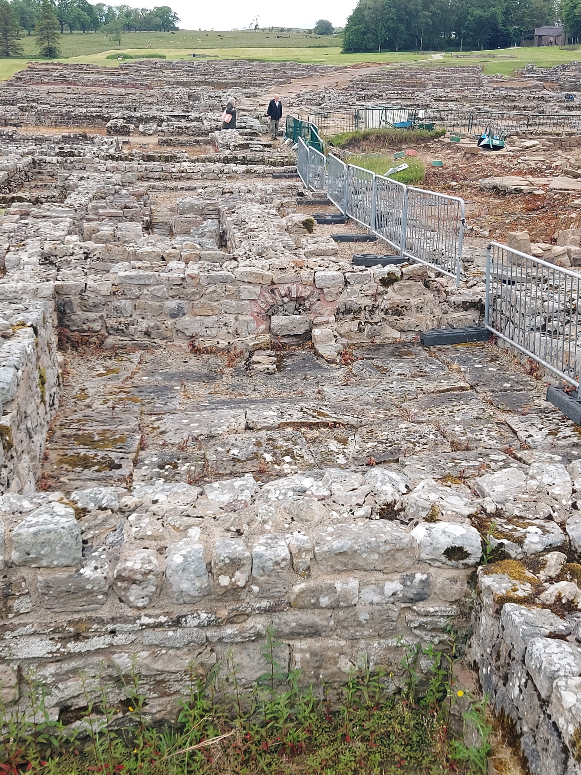
The final fort I visited on my holiday was Birdoswald. I passed through the area on my Hadrian’s Wall walk, and bought a much-needed ice cream at the café, but didn’t get a chance to have a look around at the time.

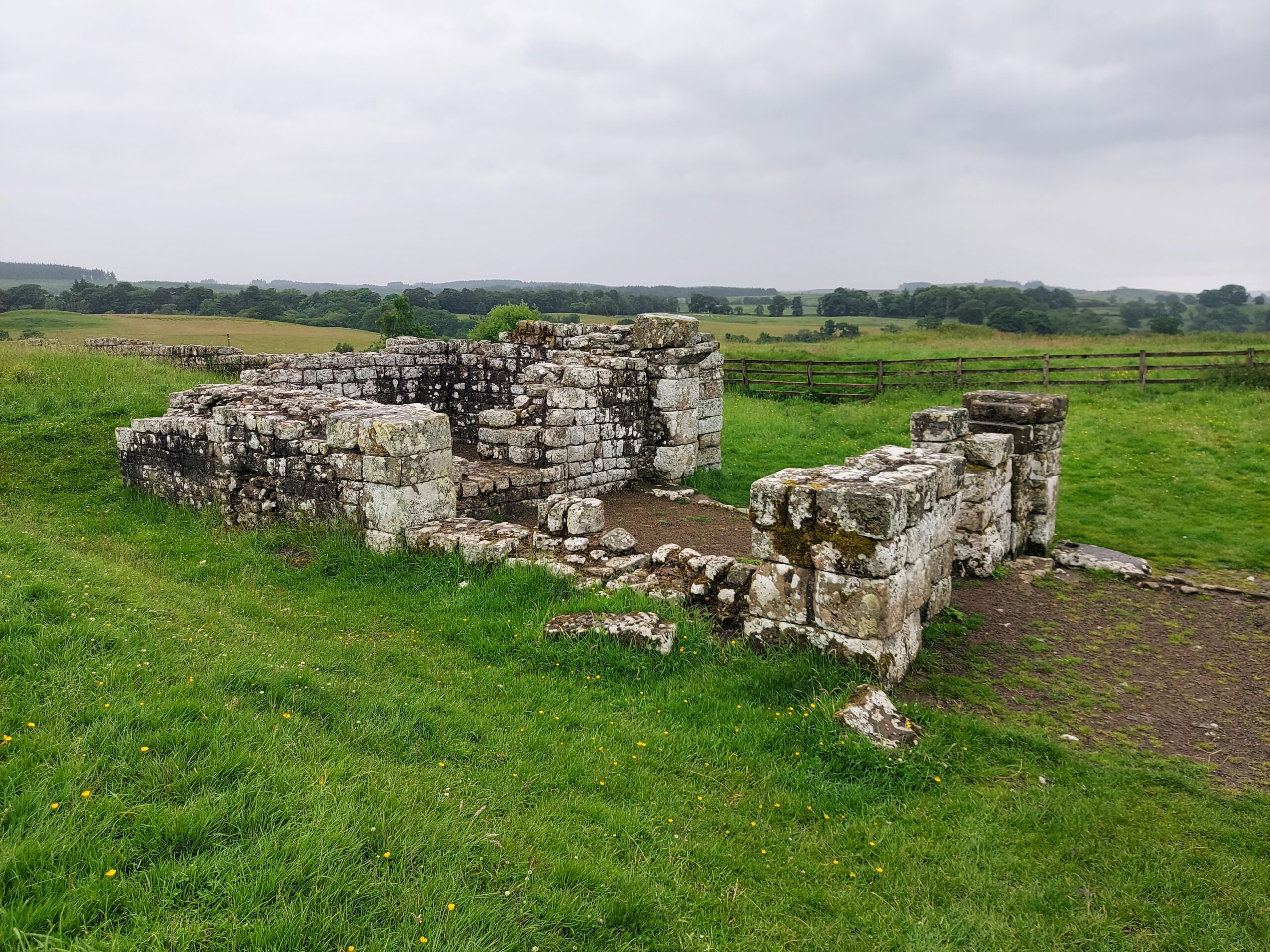
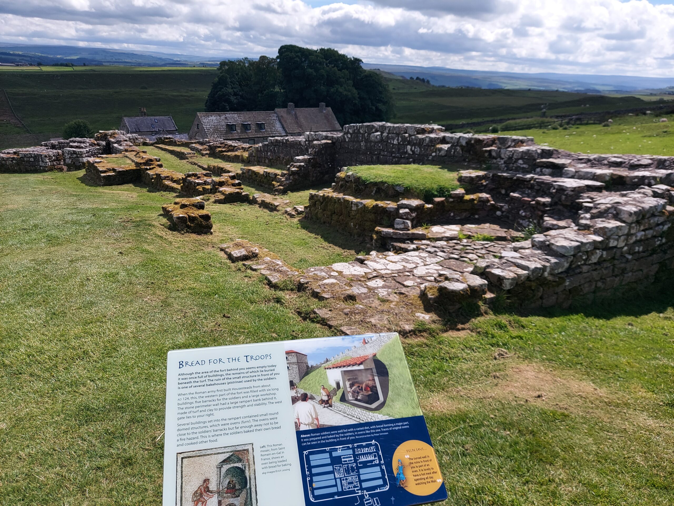
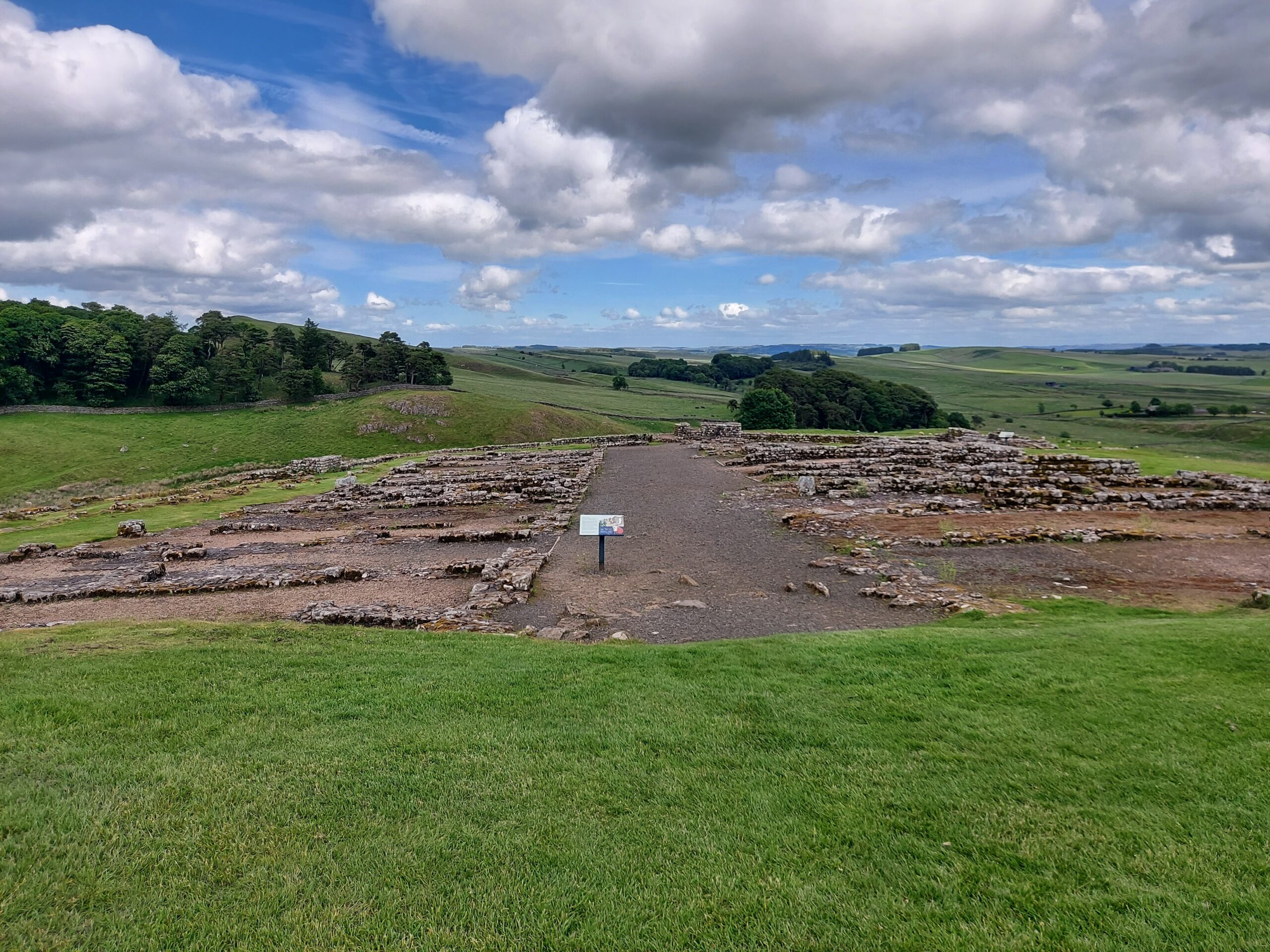
Birdoswald, known to the Romans as Banna, is further west than the other forts I visited – it is in Cumbria, rather than Northumberland. Like Housesteads, it lies along Hadrian’s Wall, and the location is one of the best places to see the first Wall, which was made of turf. The Romans had to clear and drain the land of forest and bog before they could start building.

Birdoswald

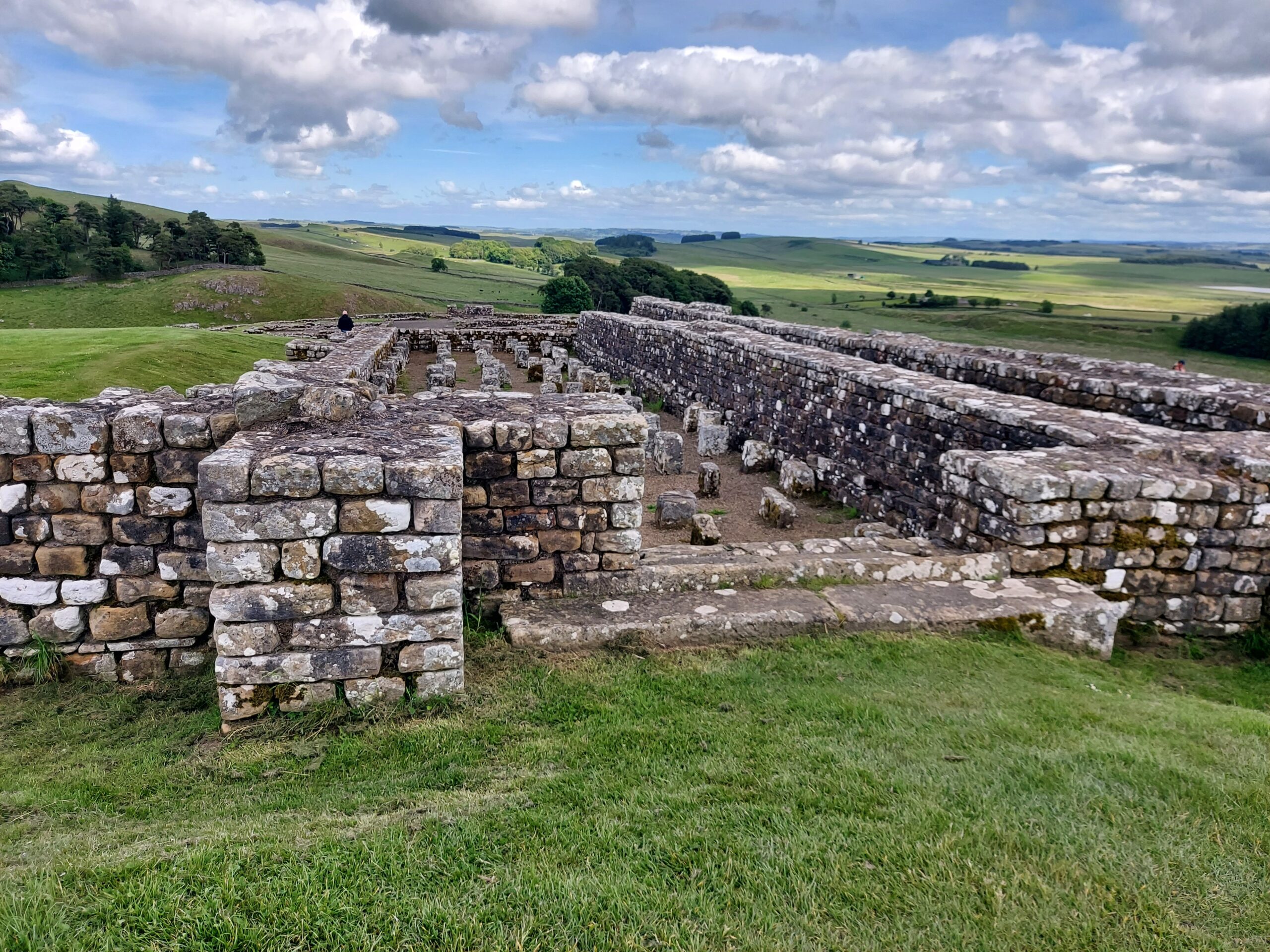
The site has very well preserved defences. The military unit most associated with Birdoswald is the Dacians, who came from modern-day Romania. Symbols from their homeland can be seen in the fort walls, and like many units, worshipped local gods as well as Roman ones. Among the items excavated from the fort are several burial urns, revealing that women and children were buried here as well as military men.

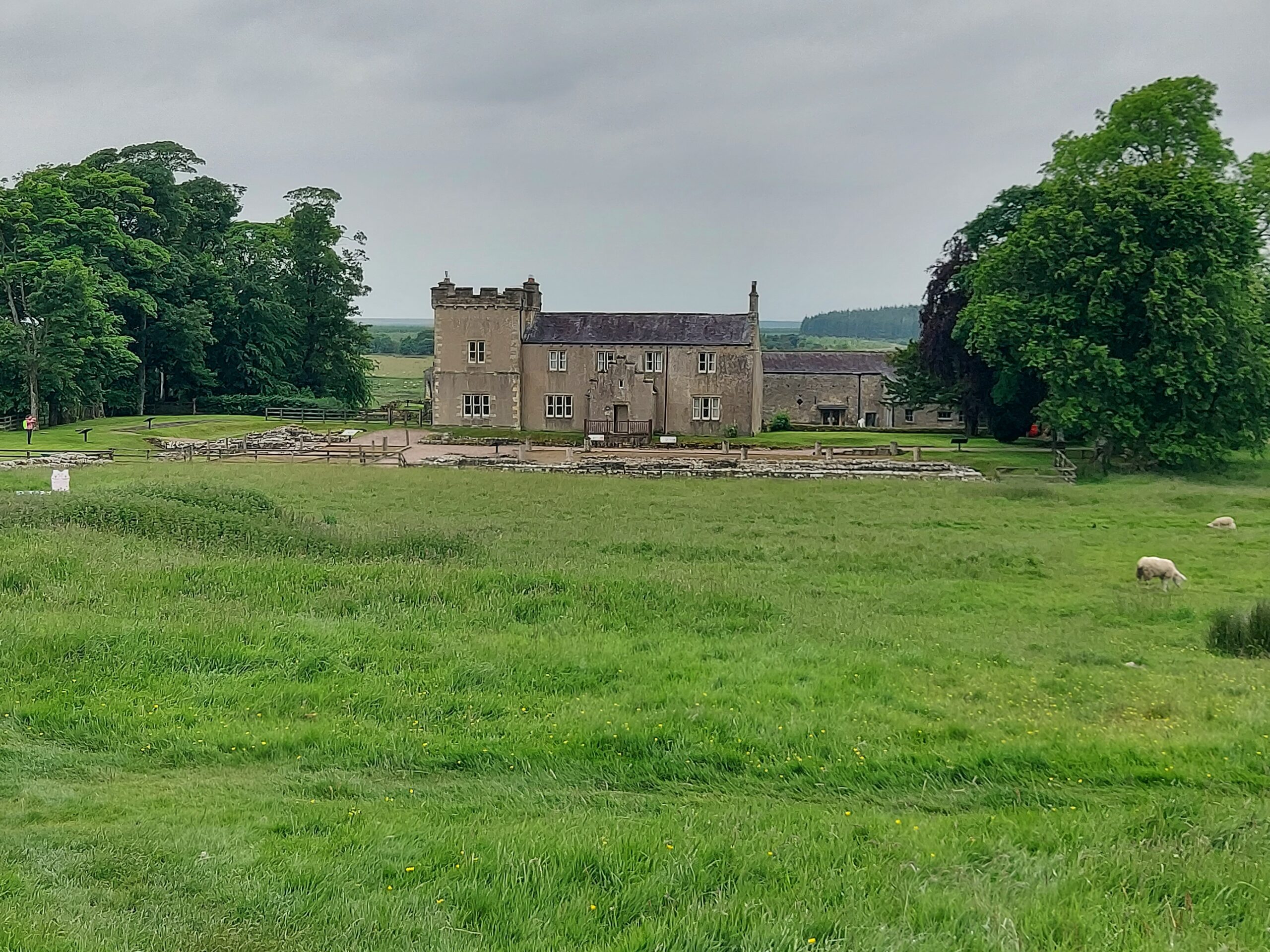
Excavations reveal that the fort carried on after the Romans left. The history of the site continued over the next few centuries, with a bastle house – a fortified farmhouse – built in the 16th century to protect against border raiders. Archaeological research began in the 19th century, and has continued to unearth more and more about Birdoswald and its role in defending the Roman frontier.

Birdoswald

FACTS

Address: Gilsland, Brampton, CA8 7DD

Website: english-heritage.org.uk/visit/places/birdoswald-roman-fort-hadrians-wall

Opening Hours: 10am – 5pm

Price: Adult £14, child £7, concession £13. Discounts are available for booking in advance or visiting at quieter times.

Housesteads Roman Fort

After visiting Vindolanda, I caught the bus to Housesteads. This is Britain’s most complete Roman fort, and I saw it briefly during my Hadrian’s Wall walk, as the fort lies along the Wall. It was nice to go back and explore it in a more relaxed fashion when I actually had the energy to do so.

Housesteads

The Visitor Centre at the bottom of the hill is currently closed, but when you climb the hill to the fort, toilets are available and there is also a small museum and shop. The fort has fantastic views of the surrounding countryside, and would have been an ideal defensive point for the Romans two millennia ago.

Housesteads


Originally named Vercovicium, the 5-acre Housesteads (named after a later farm on site) was home to around 800 soldiers and remained occupied for almost 300 years. The remains of gateways and a turreted wall can clearly be seen, as well as the commandant’s house, a hospital and – famously – a communal toilet block.

Housesteads

A civilian settlement existed on the south side of the fort, outside the boundaries. Here, two skeletons were found, beneath an apparently newly-laid floor, leading the location to be nicknamed the “Murder House”. The settlement – known as the vicus – was abandoned in around AD270, over a century before the Romans left the fort itself, around AD409.

FACTS

Address: Hexham, NE47 6NN

Website: english-heritage.org.uk/visit/places/housesteads-roman-fort-hadrians-wall

Opening Hours: 10am – 5pm

Price: Adult £16.50, child £7.50. Joint tickets available with the Roman Army Museum.

Vindolanda Roman Fort

Vindolanda

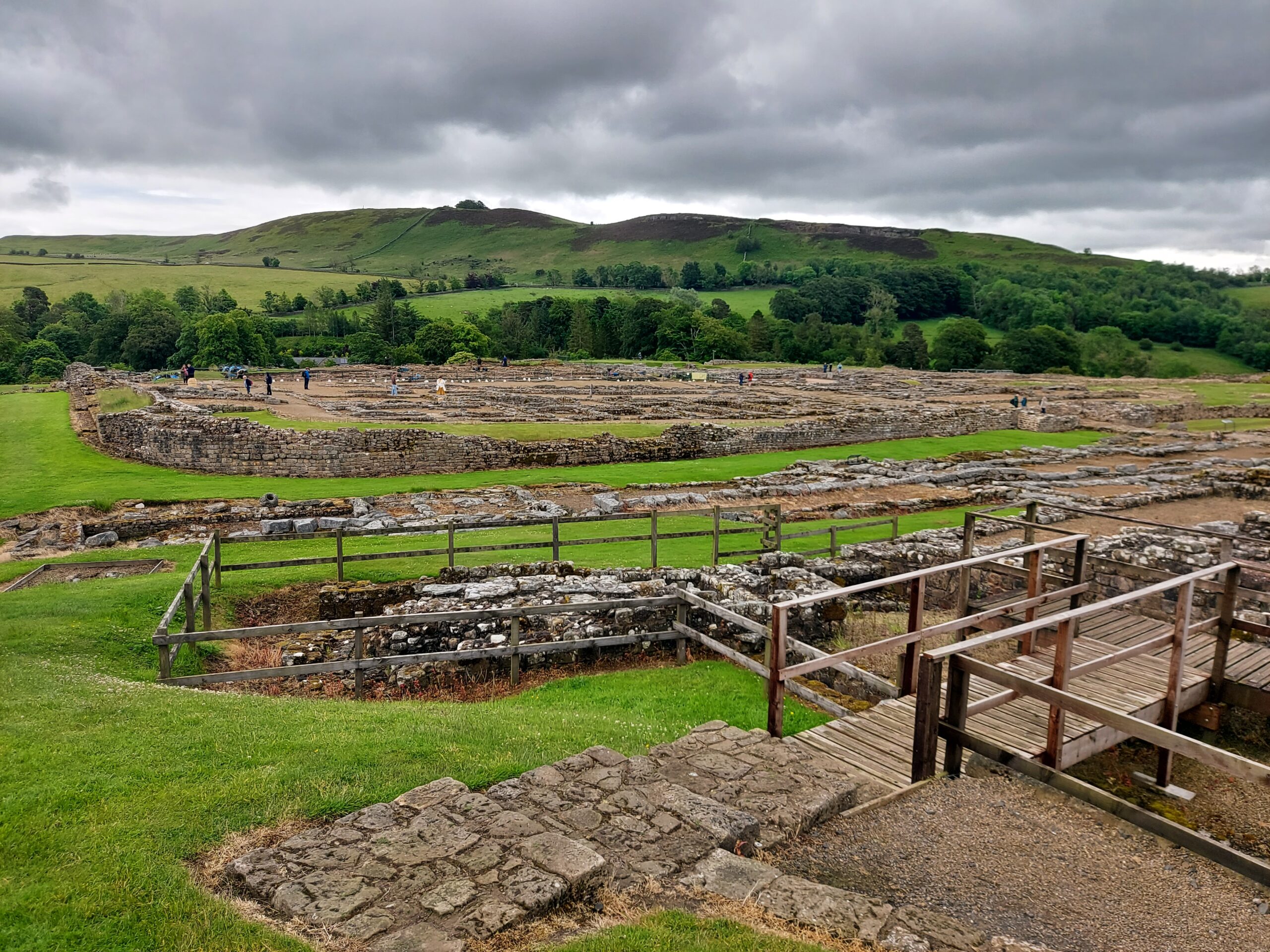
During a holiday at a nearby glamping site, I spent time visiting all the Roman forts and historical attractions in the vicinity of Hadrian’s Wall. The first one I visited was Vindolanda, and it was fantastic – if you can only visit one Roman fort, make it this one.

Vindolanda does not sit alongside Hadrian’s Wall, but next to the Stanegate Road, the first Roman frontier in the north. Occupied for over 300 years, it was founded long before the Wall was constructed. The site is run by the Vindolanda Charitable Trust, founded in 1970. This group was founded in order to excavate and investigate the site, and excavations are ongoing to this day. Some of the discoveries include a bath house, commanding officers’ residences, barracks, civilian houses and workshops, latrines, a strong room and a Roman Celtic temple. There is also a post-Roman mausoleum and Christian church. Small sections of Hadrian’s Wall have been replicated on-site in turf, timber and stone.

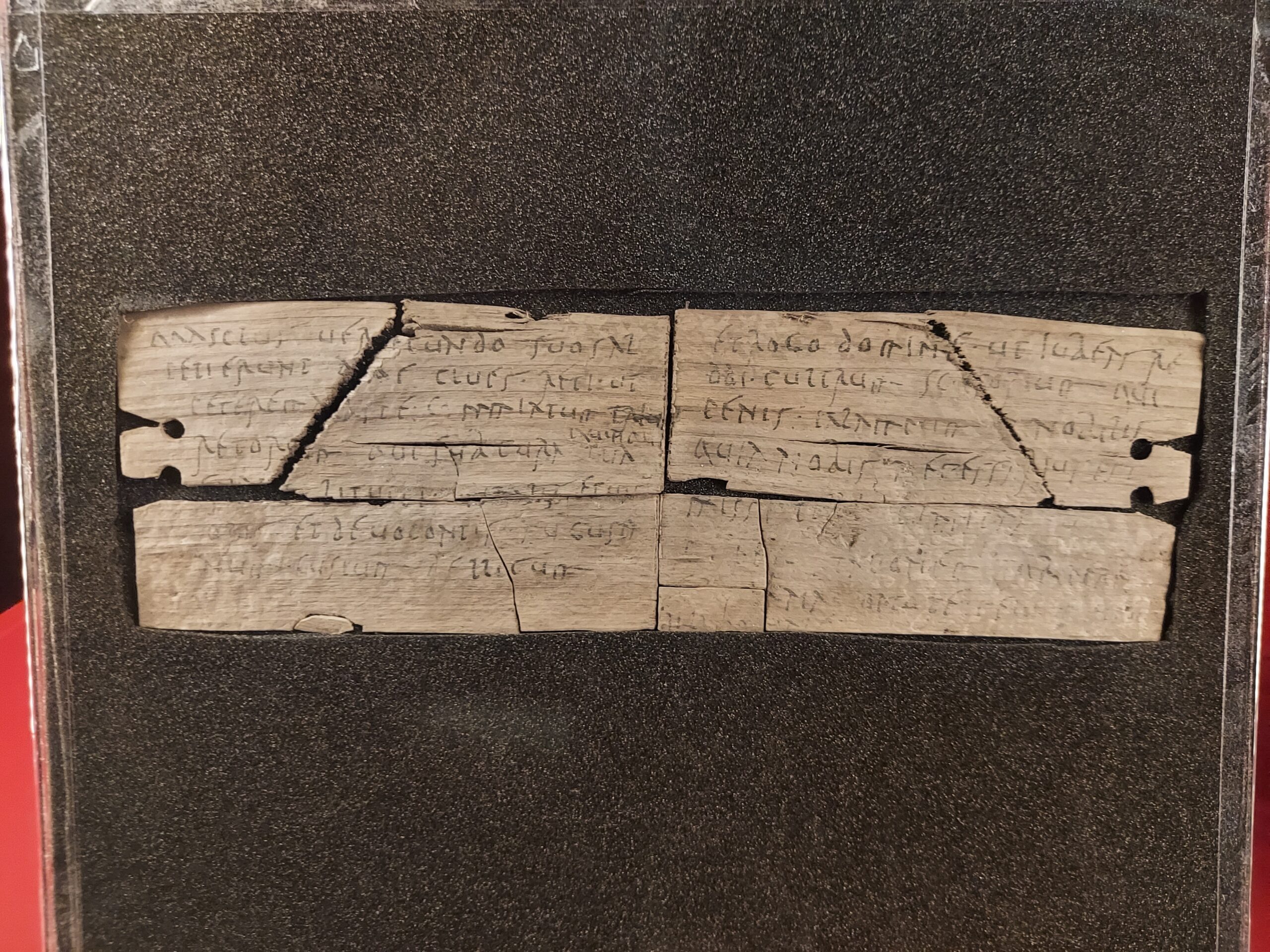
A writing tablet

Probably the most famous discovery from Vindolanda is that of the well-known writing tablets. These are delicate slivers of wood covered in writing, preserved thanks to the oxygen-free environments of buried early wooden forts. The tablets offer insights into everyday life at Vindolanda, and are absolutely fascinating. One commander asks for more beer to be sent, as the soldiers have none; a military wife welcomes a visit from the wife of a nearby camp commander in order to ease her boredom.

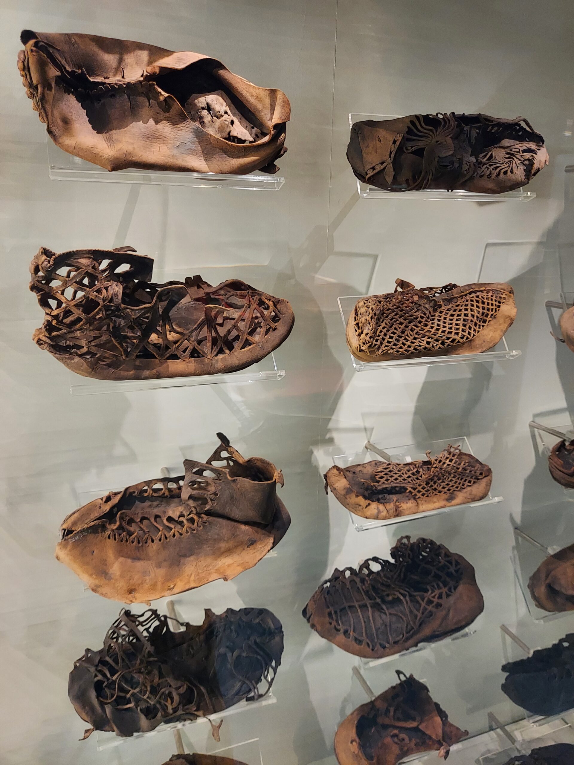
Shoes found at Vindolanda

Other items have been preserved in the unique conditions here, including very many leather shoes, which are displayed in a striking case within the informative museum. Vindolanda actually has the largest collection of Roman leather items anywhere in their historical Empire, including bags and purses as well as shoes. Wooden objects have been discovered too, including parts of furniture, tent pegs and combs, as well as the more usual jewellery, weapons and bones.

I took a guided tour during my visit which was fascinating. Our guide told us about the history of the site and more information about the people who lived and worked there. I was particularly amused to hear about the sausage seller – Roman fast food!

Vindolanda

The site at Vindolanda is large and I think it would be possible to spend an entire day there. Sadly I had to leave in time to get the bus to the next place. There is a lovely café in the same building as the museum, so you can stop for a break.

FACTS

Address: Hexham, NE47 7JN

Website: vindolanda.com

Opening Hours: 9:30am – 5pm

Price: Adult £16.50, child £7.50. Joint tickets available with the Roman Army Museum.

Segedunum Roman Fort

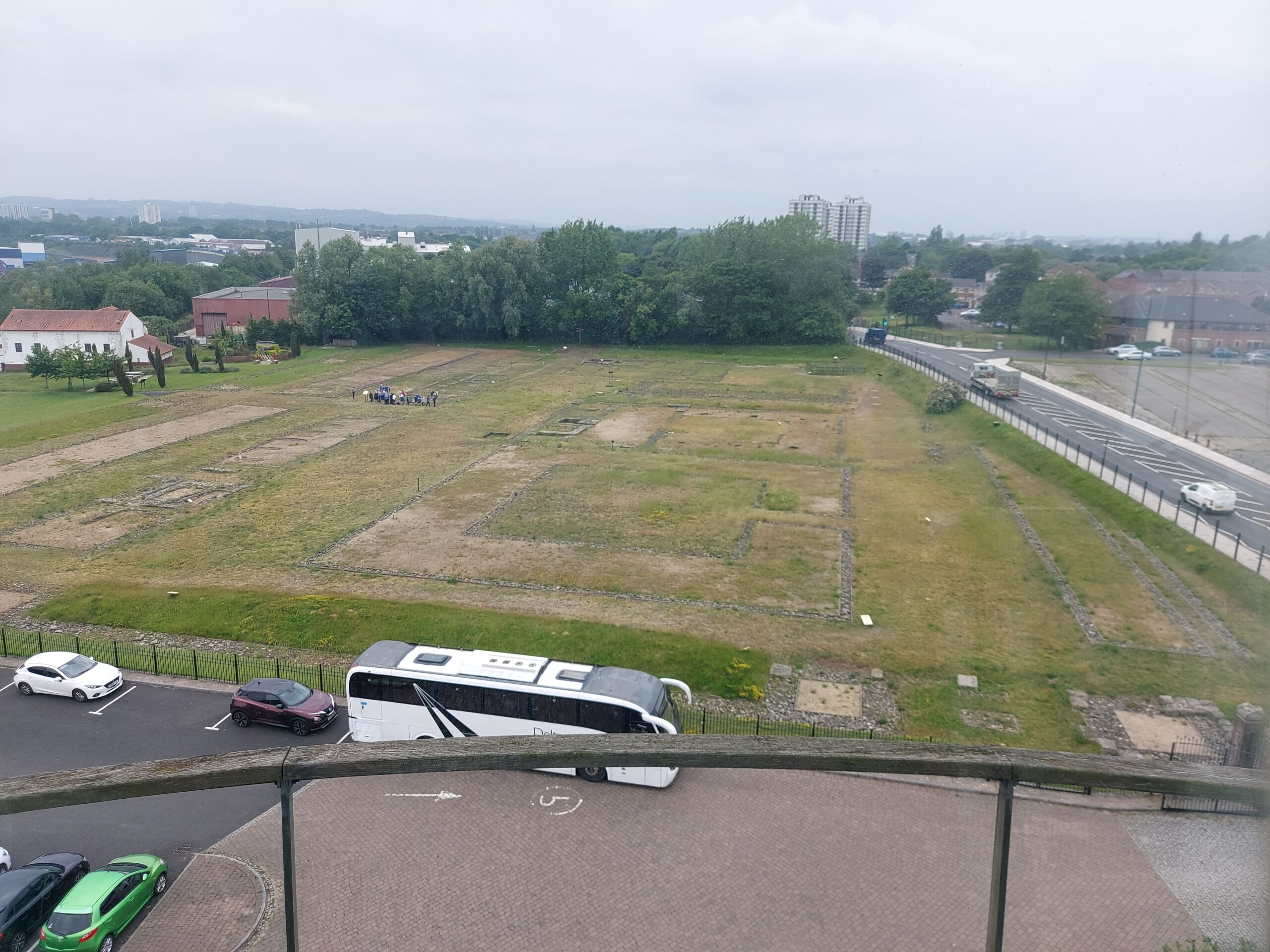
Aerial view of the fort

I took advantage of a day off to visit Segedunum Roman Fort. This was the starting point for last year’s Hadrian’s Wall walk, but we didn’t have time to actually visit, and I wanted to change that.

The fort stood at the eastern end of Hadrian’s Wall, built around AD125, a few years after the construction of the main Wall, and was home to Roman soldiers for nearly 300 years. The site of the fort, on a plateau on the north bank of the river Tyne, was perhaps chosen because of the views eastwards downriver towards South Shields, and upriver towards Newcastle. The name ‘Segedunum’ means ‘strong fort’. 

The museum contains information about the construction of the fort, the people who lived and worked here, and the role the fort played defending the Roman frontier. Before the fort was built, the area was mostly farmland, part of the territories of the Brigantes tribe. People would have lived in farmsteads, around a 15 minute walk apart, made up of roundhouses surrounded by earth banks and ditches. In between the ditches were fields for crops and pasture for animals. Cattle and other animals might have lived on the ground floor, with people living above them. When the Romans arrived to build the fort, they confiscated the land.

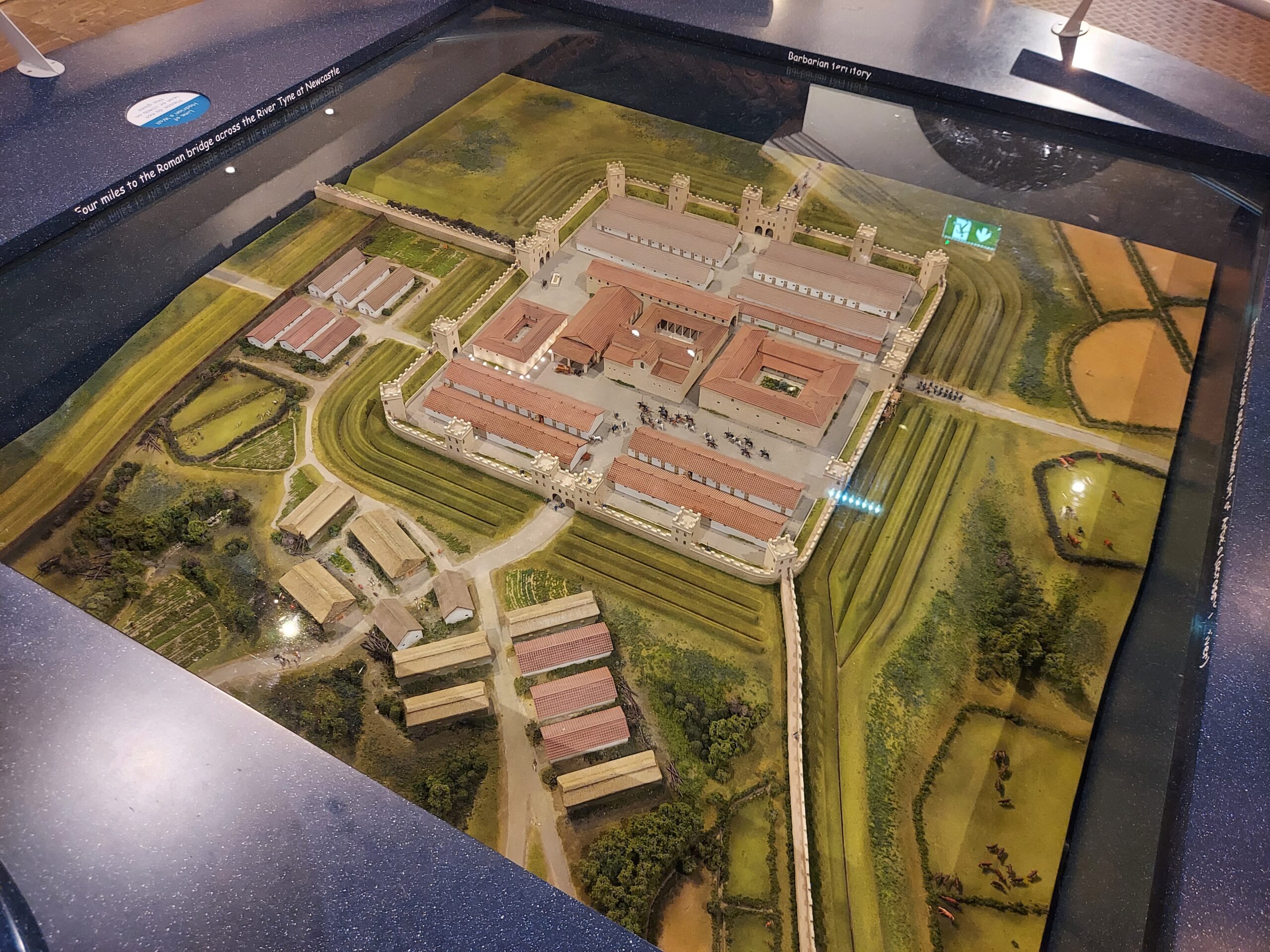
Model of Segedunum

When first built, the barracks were made from timber, though they were later rebuilt in stone. Eventually, these stone buildings were demolished and replaced by new back-to-back barracks. A stone hospital was also demolished at this time. Later, the west gates area seems to have become a marketplace. Use of the site probably ended in around AD380.

The site as it exists today is one of the most completely excavated forts anywhere in the Roman Empire. It is laid out as it would have been in AD200. Visible are walls and gateways, granary stores, barrack blocks and the Commanding Officer’s house. There is also a hospital and, discovered more recently, the foundations of a bath house. Part of Hadrian’s Wall can also be seen here, alongside a reconstruction of the Wall.

FACTS

Address: Buddle Street, Wallsend, Newcastle upon Tyne, NE28 6HR

Website: northeastmuseums.org.uk/segedunum

Opening Hours: Mon-Sat; hours vary depending on season

Price: Adults £7.75* | Concessions £5.50* (*includes £1 voluntary donation) | Young people 21 and under and all NE28 residents FREE

Hadrian’s Wall – Expedition

After completing our ‘practice’ Gold Maverick expedition back in May, comprising the first two days of the Hadrian’s Wall path, we planned our ‘main’ expedition for July. As luck would have it, this week was also super hot. With hindsight this was probably better than cold and rain – trudging up and down hills in the mud would not have been fun – but at the time I cursed the sun repeatedly.

Day 0: Chollerford to Greencarts, 2.5 miles

Heather and I met in Chollerford on the Wednesday, where we had left off last time. We didn’t have far to go to reach our destination – only a couple of miles – so we decided to pay a visit to Chesters Roman Fort first. After that, it was a walk of less than two hours to reach Greencarts Campsite and Bunkhouse.
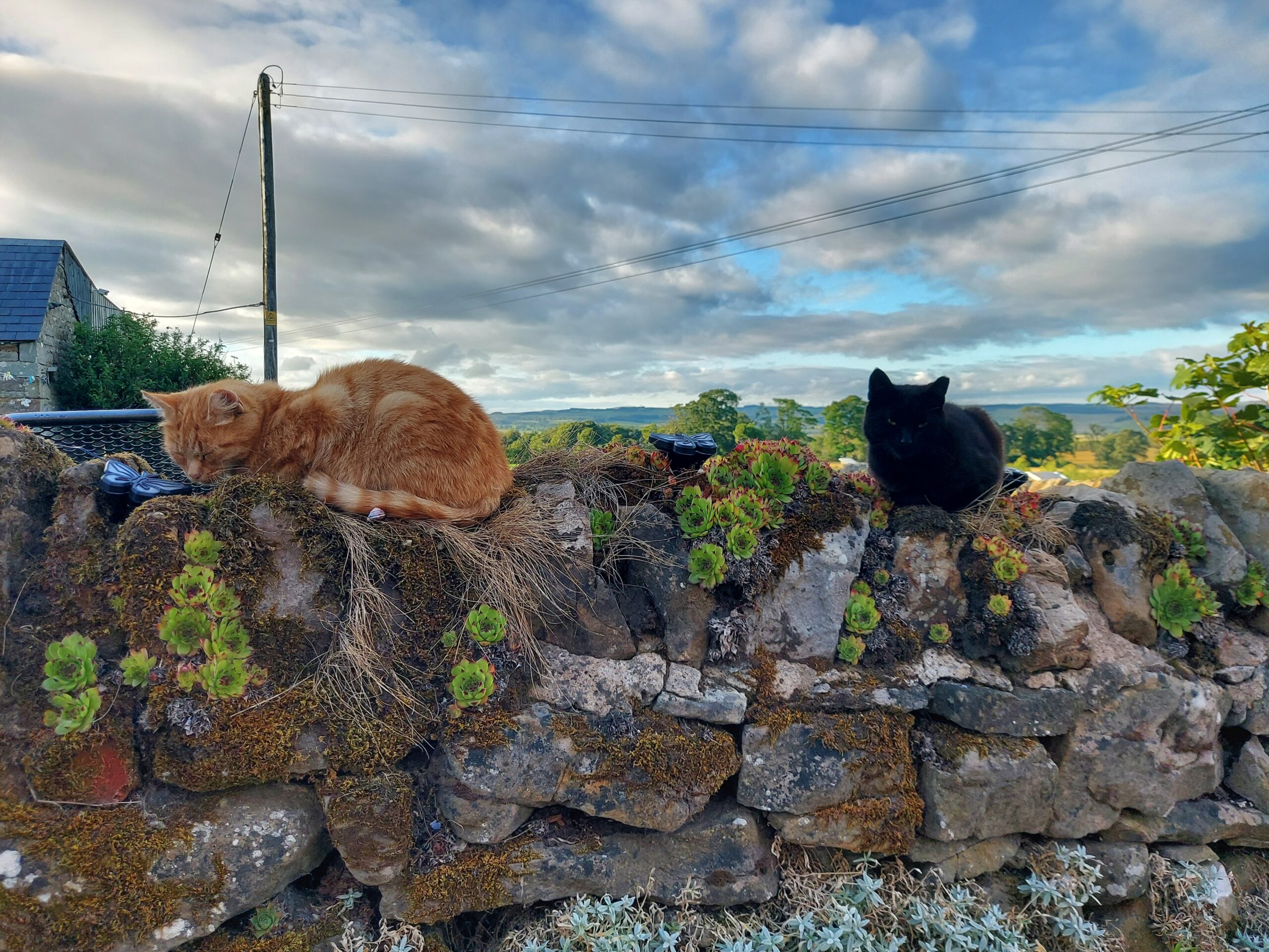
Two cats on a wall at Greencarts

Day 1: Greencarts to Once Brewed, 12 miles

The expedition proper began the following day. We left early to try and beat the heat, although it was still pretty warm in the morning. The path followed the road for several miles before breaking off towards the end.
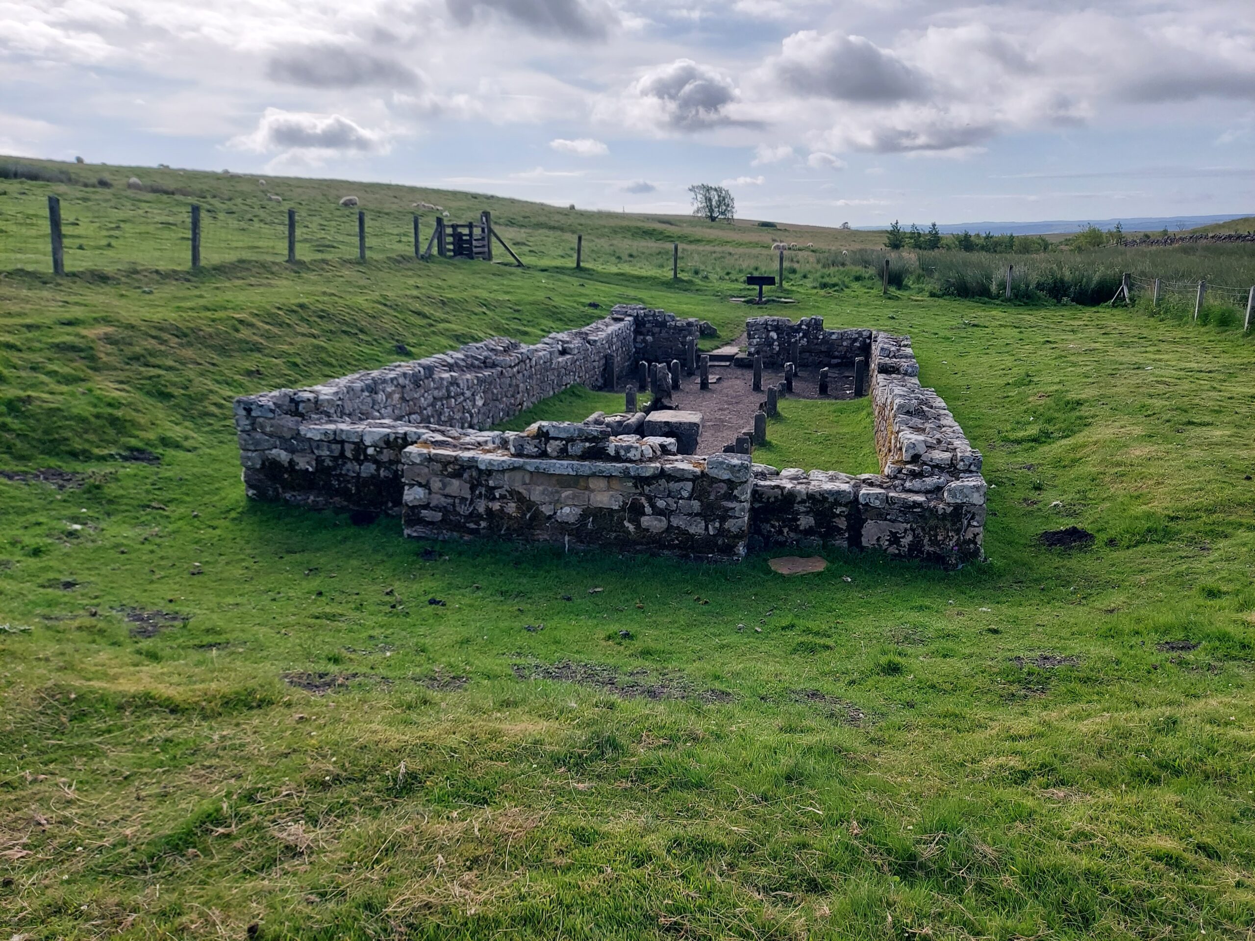
Temple of Mithras

We saw some interesting things, including the ruins of Carrawburgh Roman Fort, and a Temple of Mithras. We also said hello to several cows, who were thankfully friendly. There was lots of the wall to see and several milecastles.
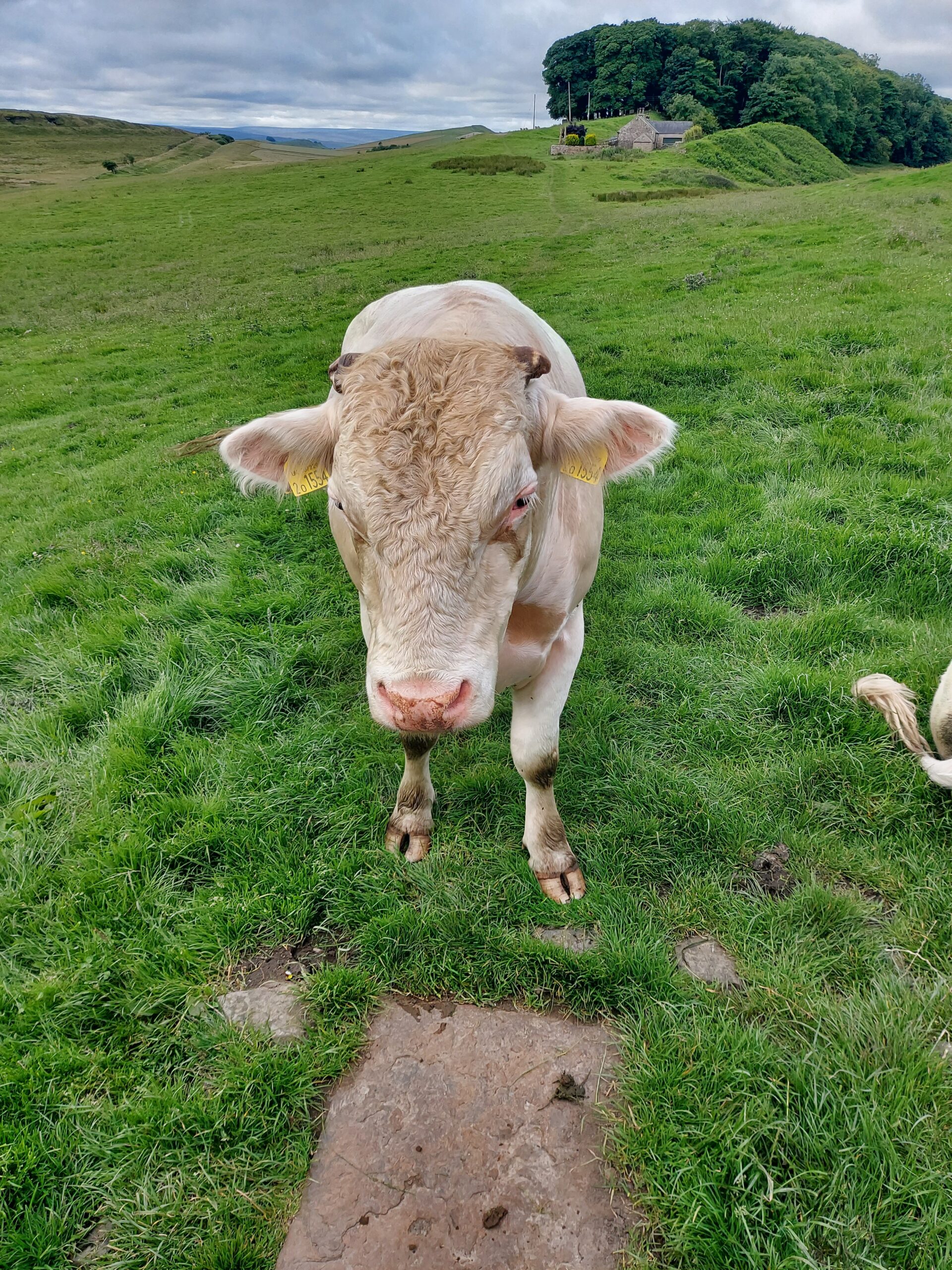
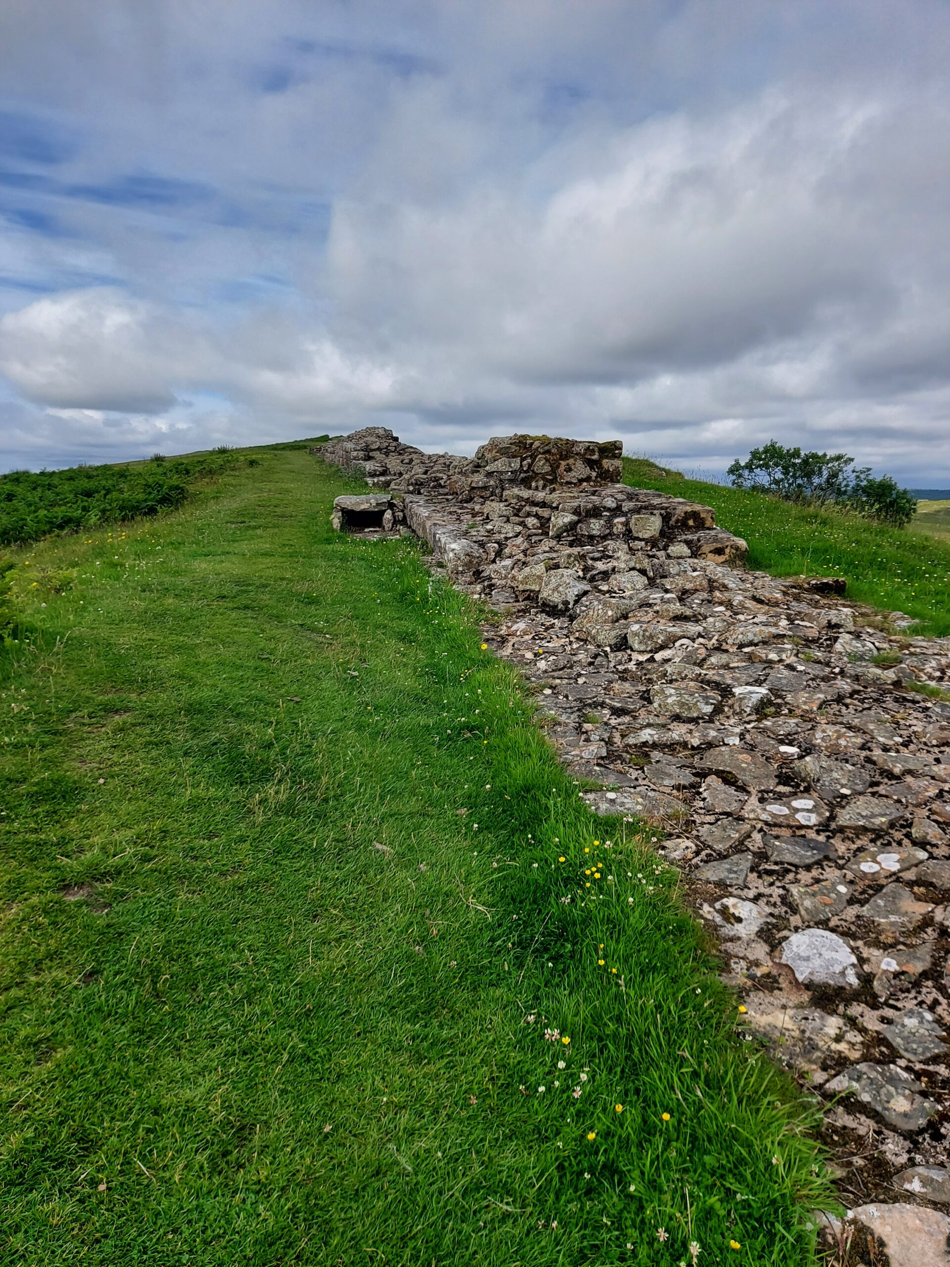
A friendly cow

A section of Hadrian's Wall

At Housesteads we were met by Naomi, a fellow Rebel, and her children. She brought us snacks and we took the opportunity to have a nice sit down. On leaving, we enjoyed walking on the one part of the Wall it is still ok to tread on. It was an amazing feeling to think I was walking where so many Roman feet trod before me.
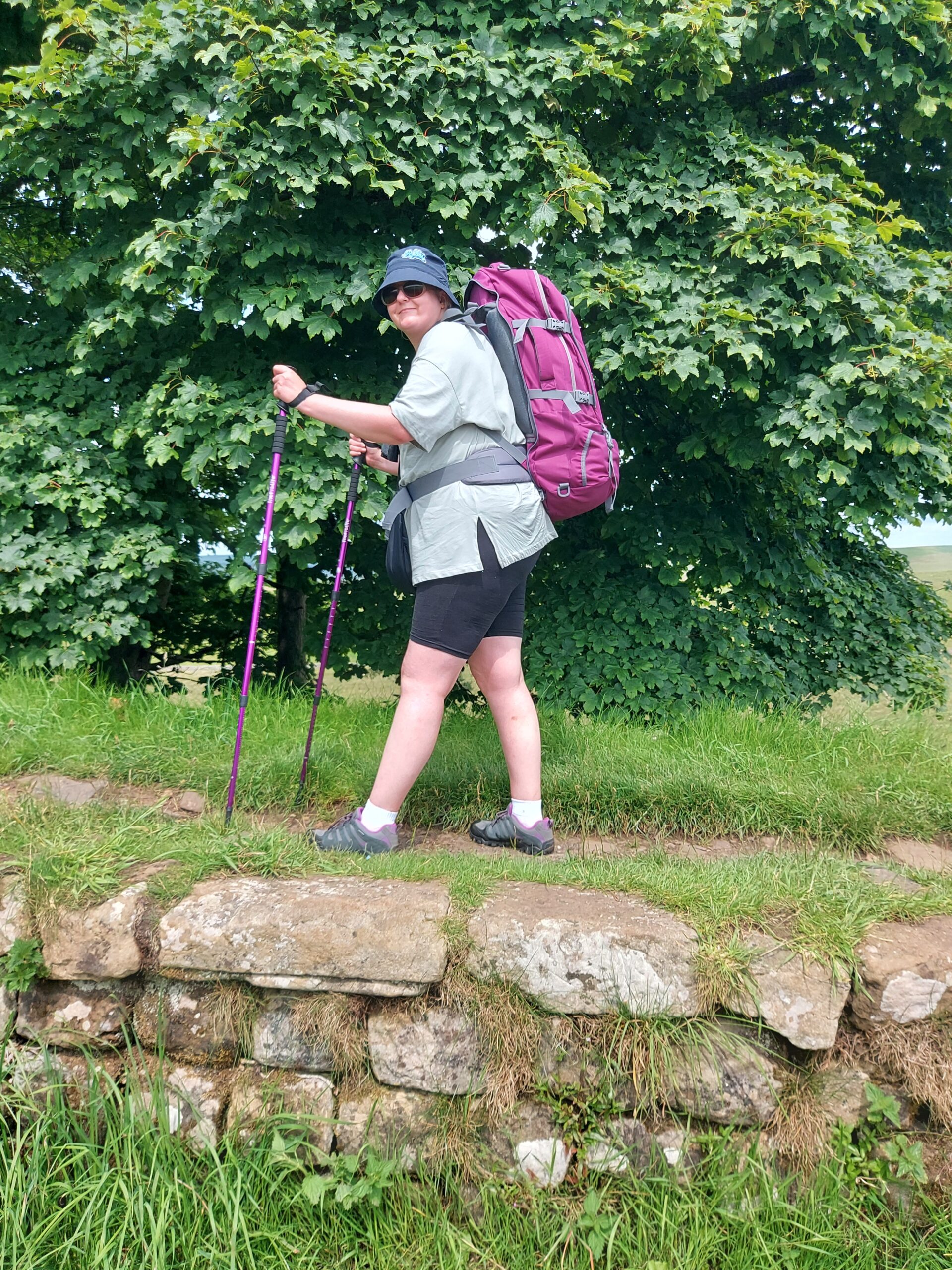
Me standing on top of the Wall

Around this time we passed Sycamore Gap. It was sad to see the spot where the once-magnificent tree stood.
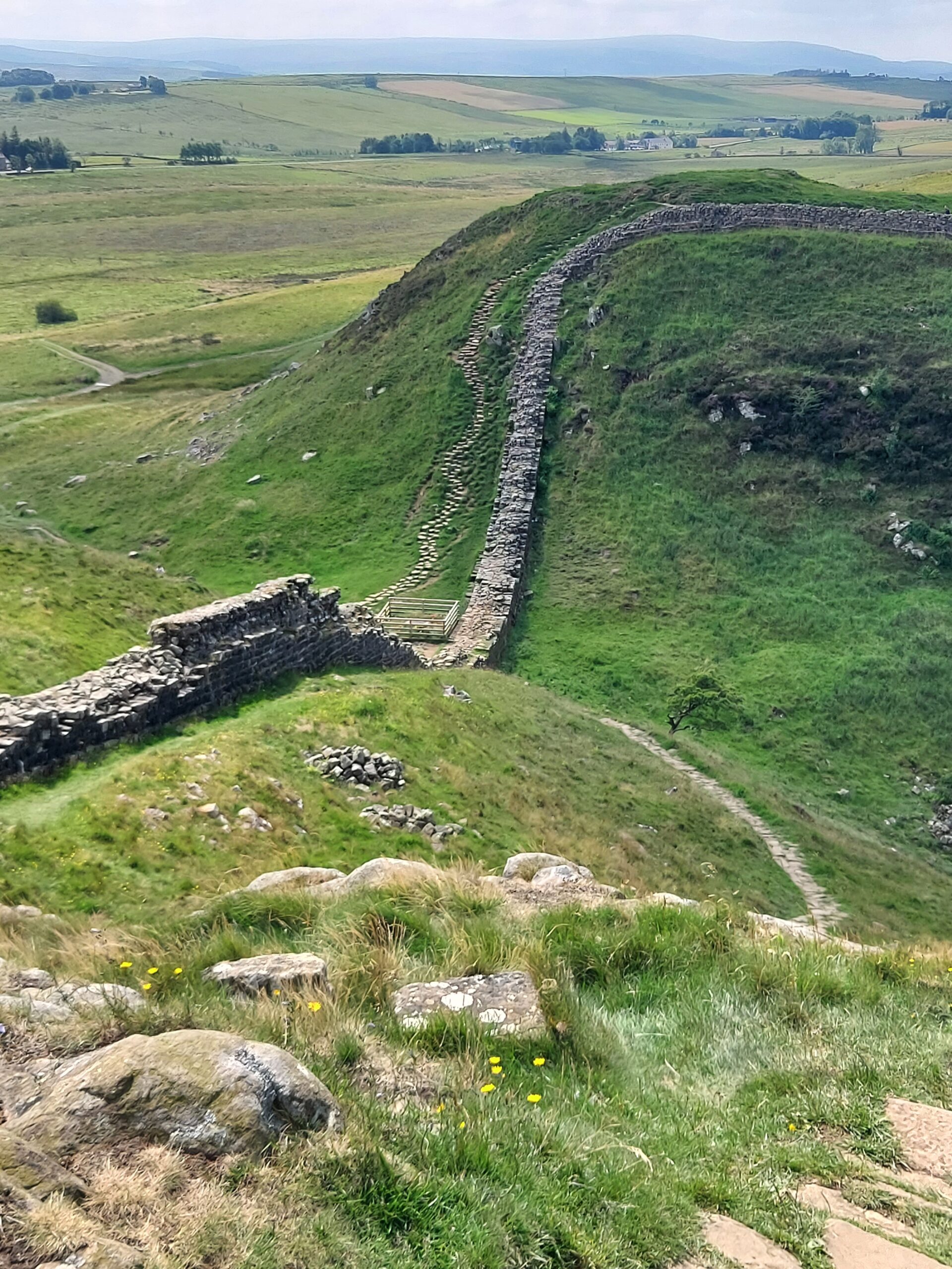
Sycamore Gap, sadly without the sycamore

Once we’d finished the day’s walk, we were shattered so we did get a bus to the Bridge House B&B, our home for the night. It was fantastic just to sit down! We popped into a local pub for tea but didn’t stay up late, as we wanted to get going early in the morning.

Day 2: Once Brewed to Banks, 13 miles

The next day was probably the hardest of our trip. The first part of the day involved trudging through what felt like miles of marshland on our quest to find the Wall. I’m sure we were a little lost at this point. Eventually we reached Gilsland and stopped for a rest and some food at House of Meg.
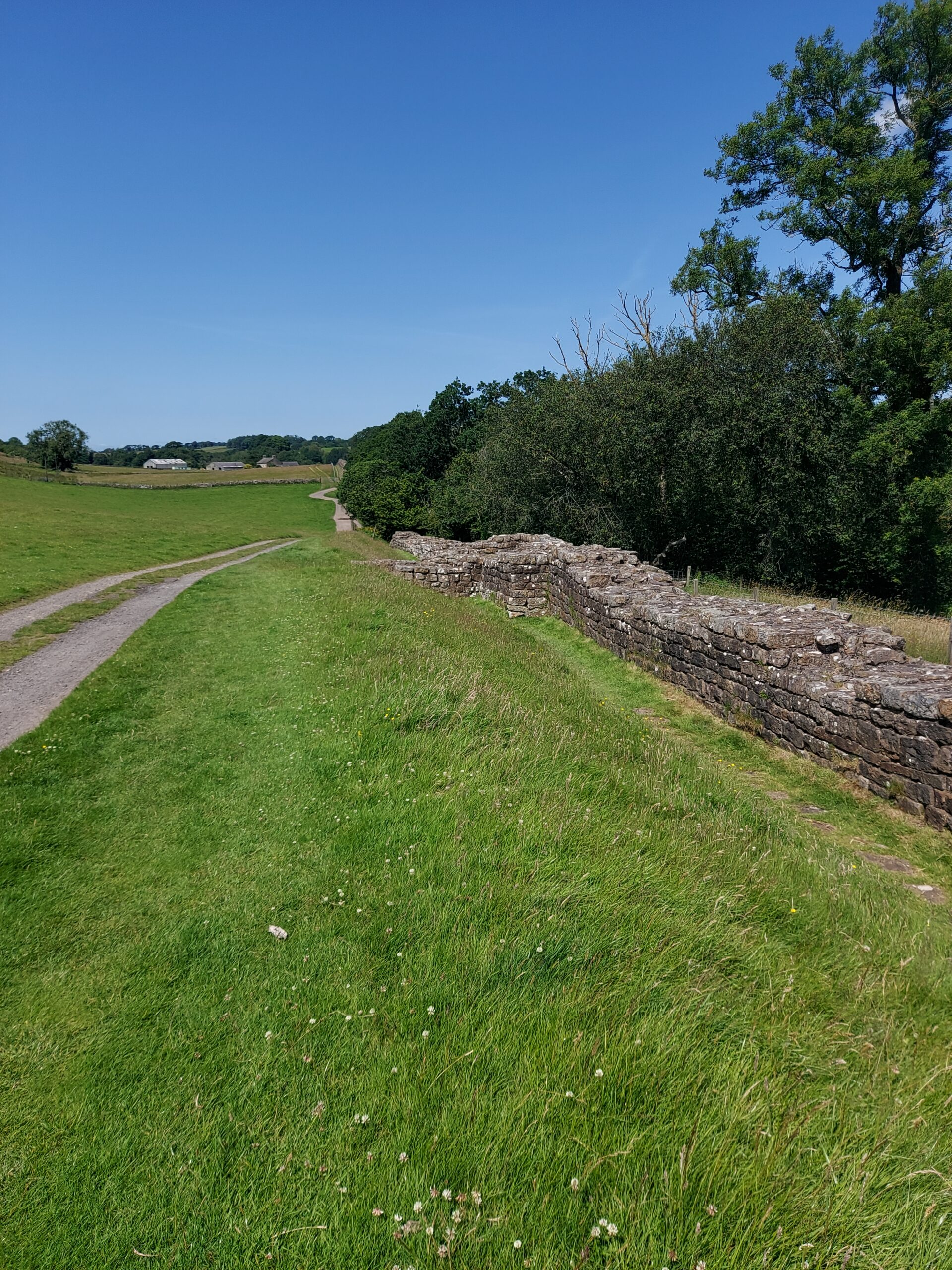
A section of wall

Heather was exhausted at this point and made the decision not to go on that day. This was definitely the right decision for her. I on the other hand knew that if I stopped walking for the day it would be down to laziness, as I knew I had the ability to go on. So I resolved to walk by myself to Banks. After a long sit down and rest I felt refreshed although the long pull uphill shortly afterwards almost killed me!
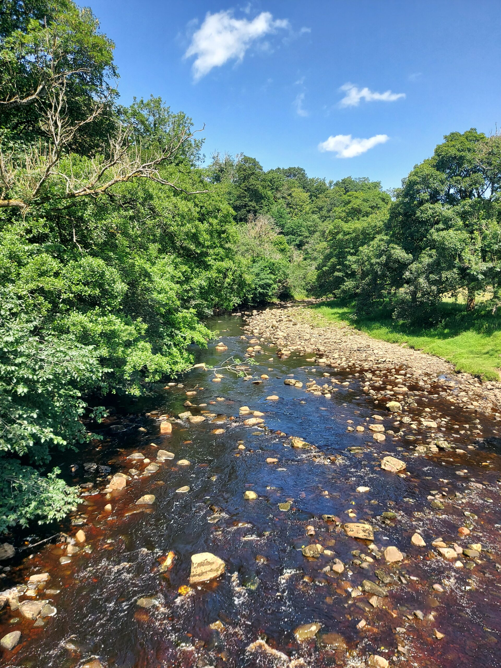
Crossing the river

I soon reached Birdoswald Roman Fort and had a rest and an ice cream before going on. Luckily the rest of the day’s route was fairly flat, and I had no problems following it. I was very relieved, however, to arrive at Banks, finally have a wash, and go to sleep.

Day 3: Banks to Carlisle, 14 miles

We woke up feeling much refreshed and set off early, hoping to reach Carlisle all the sooner. In some ways the day was easier than those that had gone before, being much flatter. However, it was also the hottest day of the trip so far and the last few miles into Carlisle were a struggle. On the way, we could see locals paddling in the river and I felt extremely jealous!
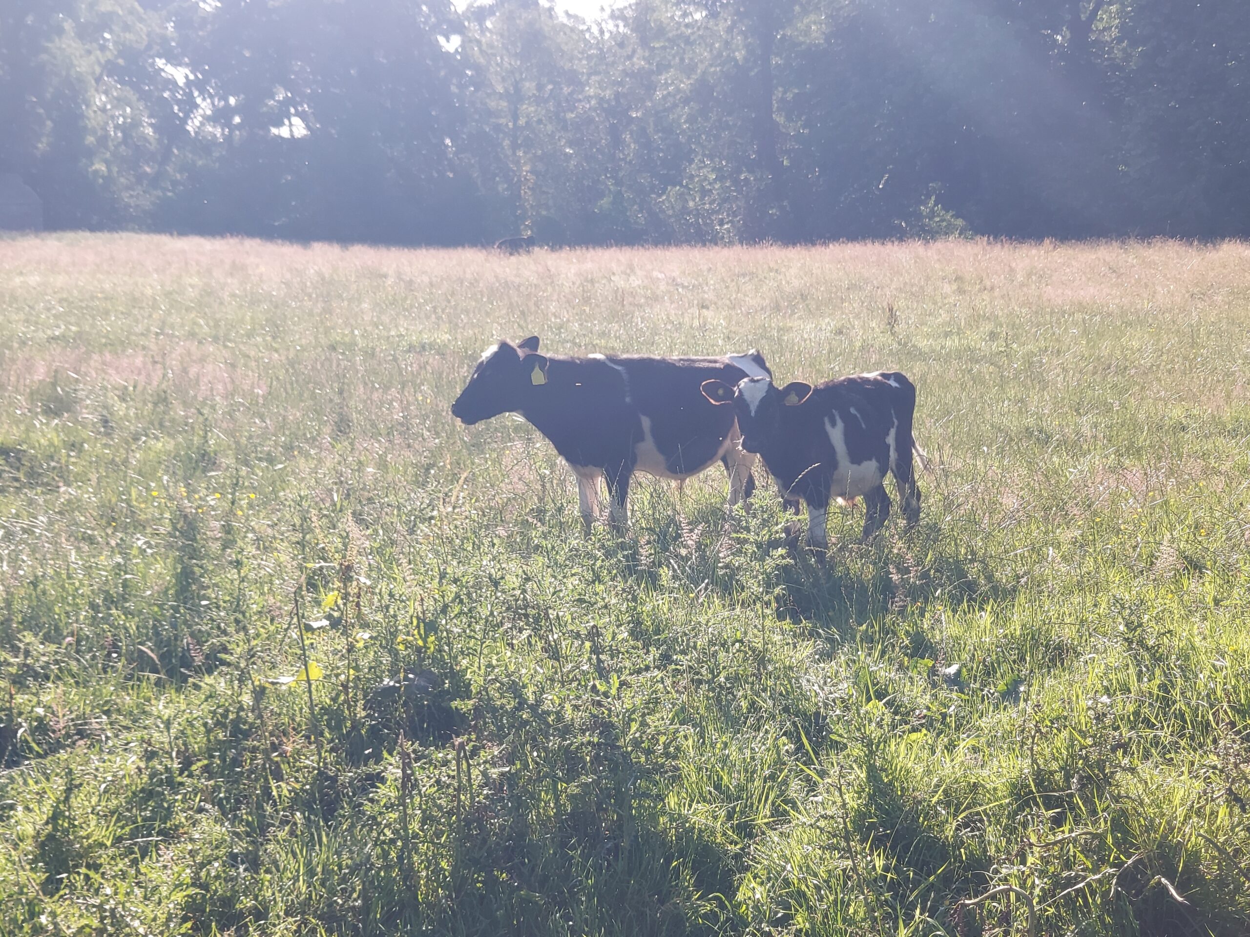
Cows

Finally, we arrived at Abberley House, where we were to stay the night. Later on we met Claire, a fellow Rebel who was going to walk the last part of the way with us, and we went out for a meal at Alexandros Greek Restaurant.
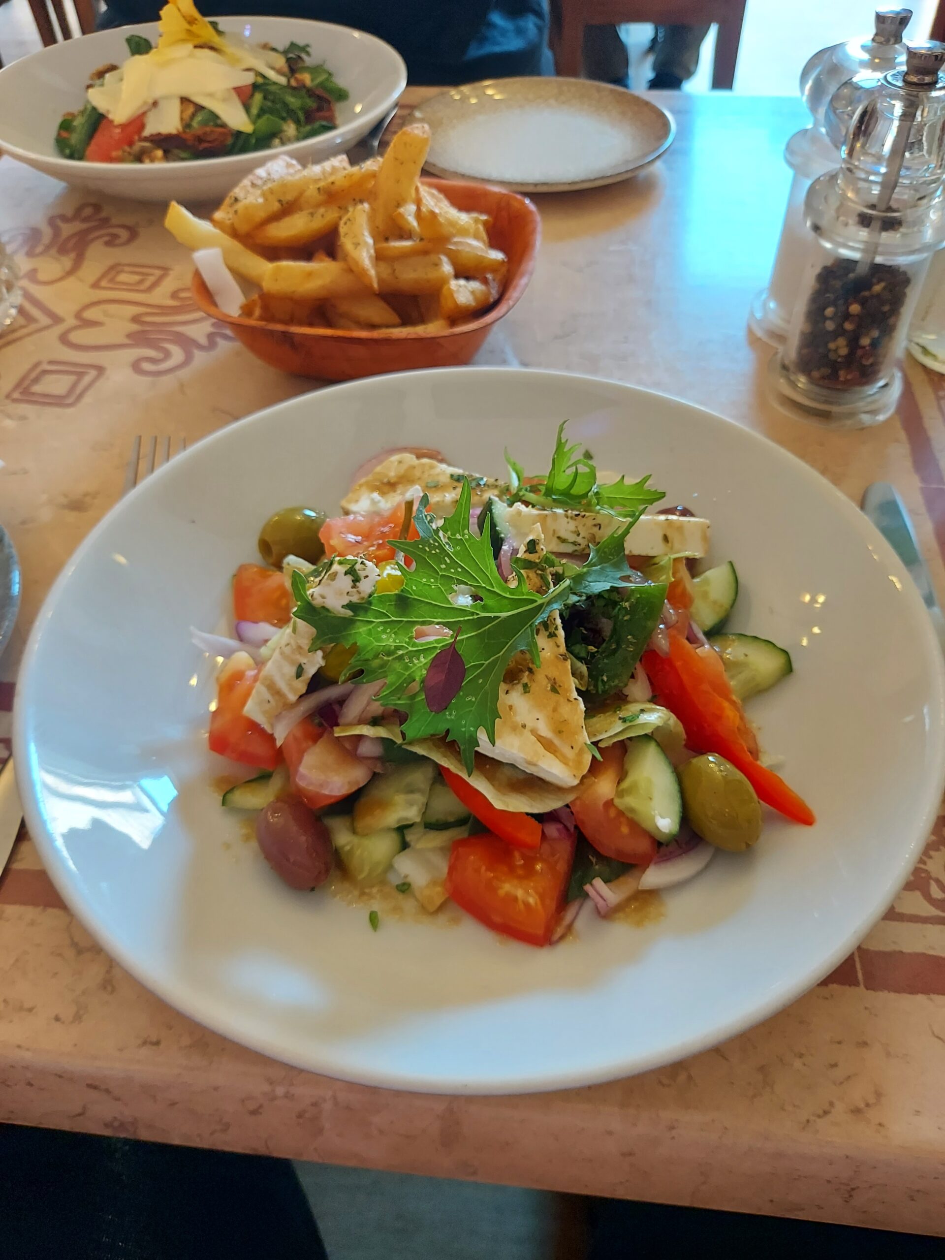
Greek salad

Day 4: Carlisle to Bowness-on-Solway, 13 miles
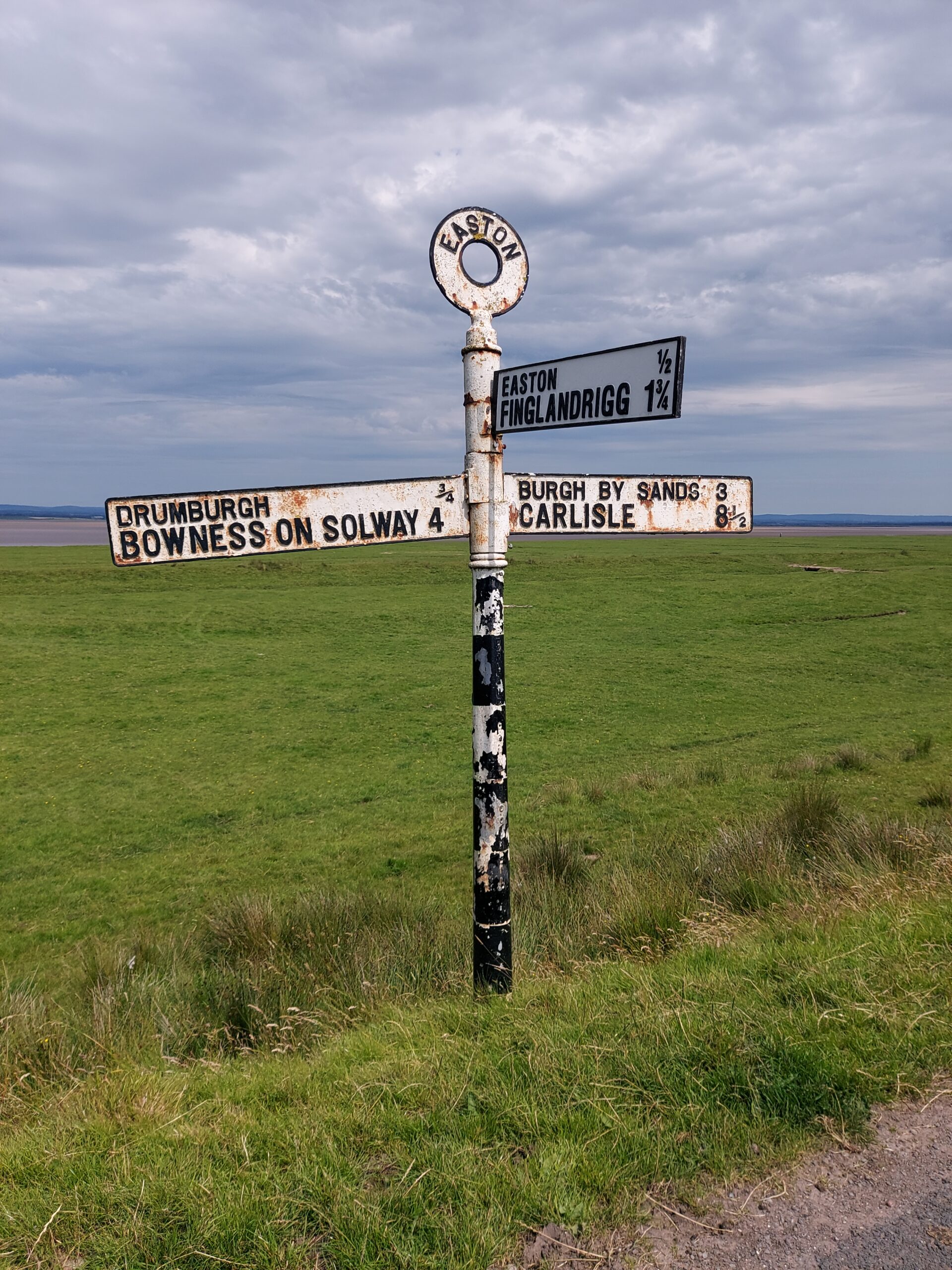
Signpost indicating Bowness on Solway 4m and Carlisle 8 1/2 m

After breakfast, we headed out fairly early, once again hoping to beat the heat (a forlorn hope!). The first part of the walk was pleasant, on shady paths, but there was a long section where we were just walking on country roads with no shade in sight (to be honest, I think we went the wrong way). We had to make quite a few stops, but the walk improved when we got closer to the Solway estuary. We were amused by the cows, who appeared to be following another group of walkers, although we did wonder if we had somehow entered purgatory as we seemed to be walking for miles and miles without getting anywhere.
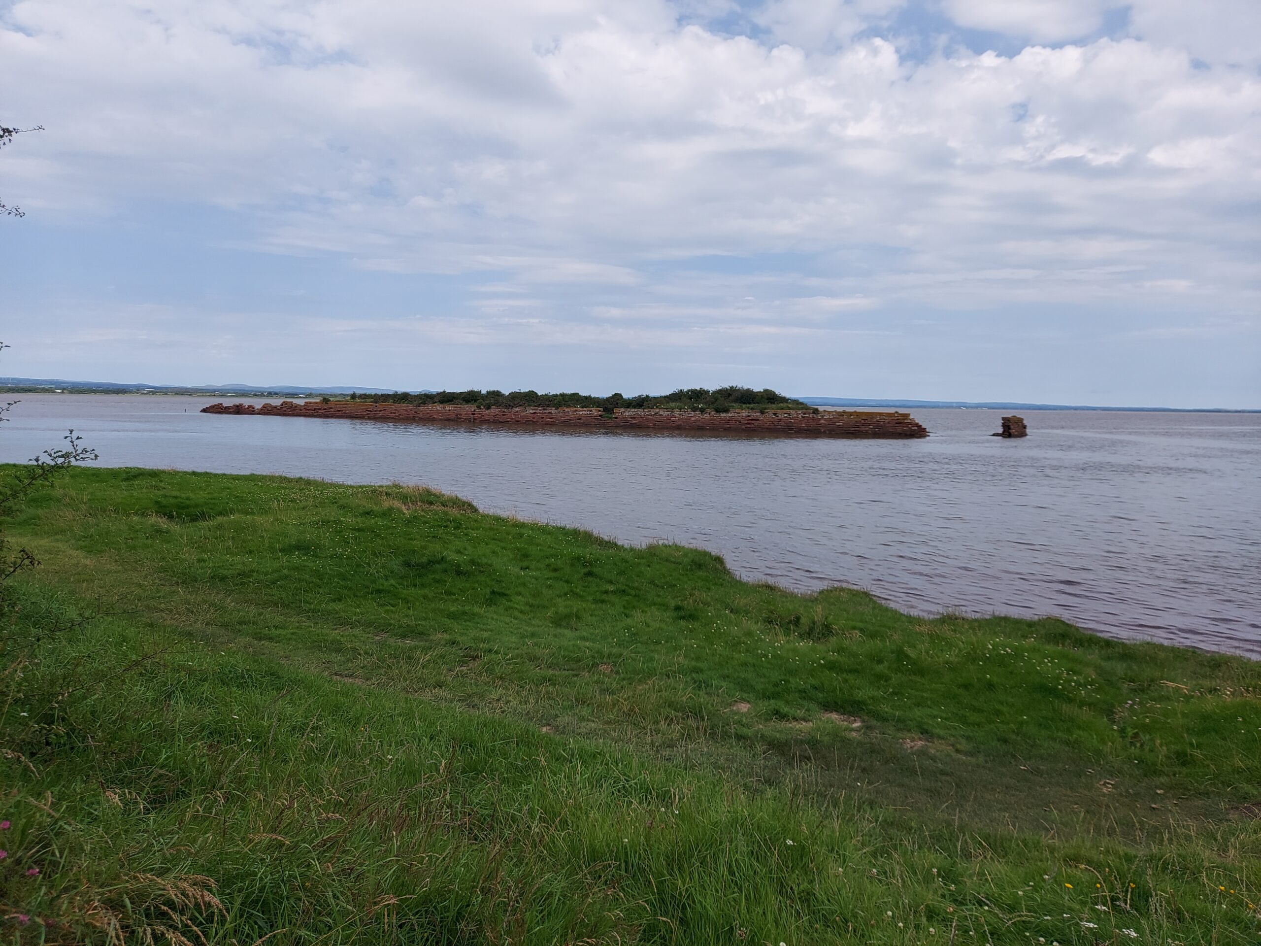
An island in the mouth of the river

The last part of the walk followed the river round past the Port of Carlisle and into Bowness-on-Solway, where we were incredibly happy to arrive. We had a well-deserved celebratory drink in The King’s Arms before sharing a taxi back to Carlisle with a couple who’d also finished the walk.
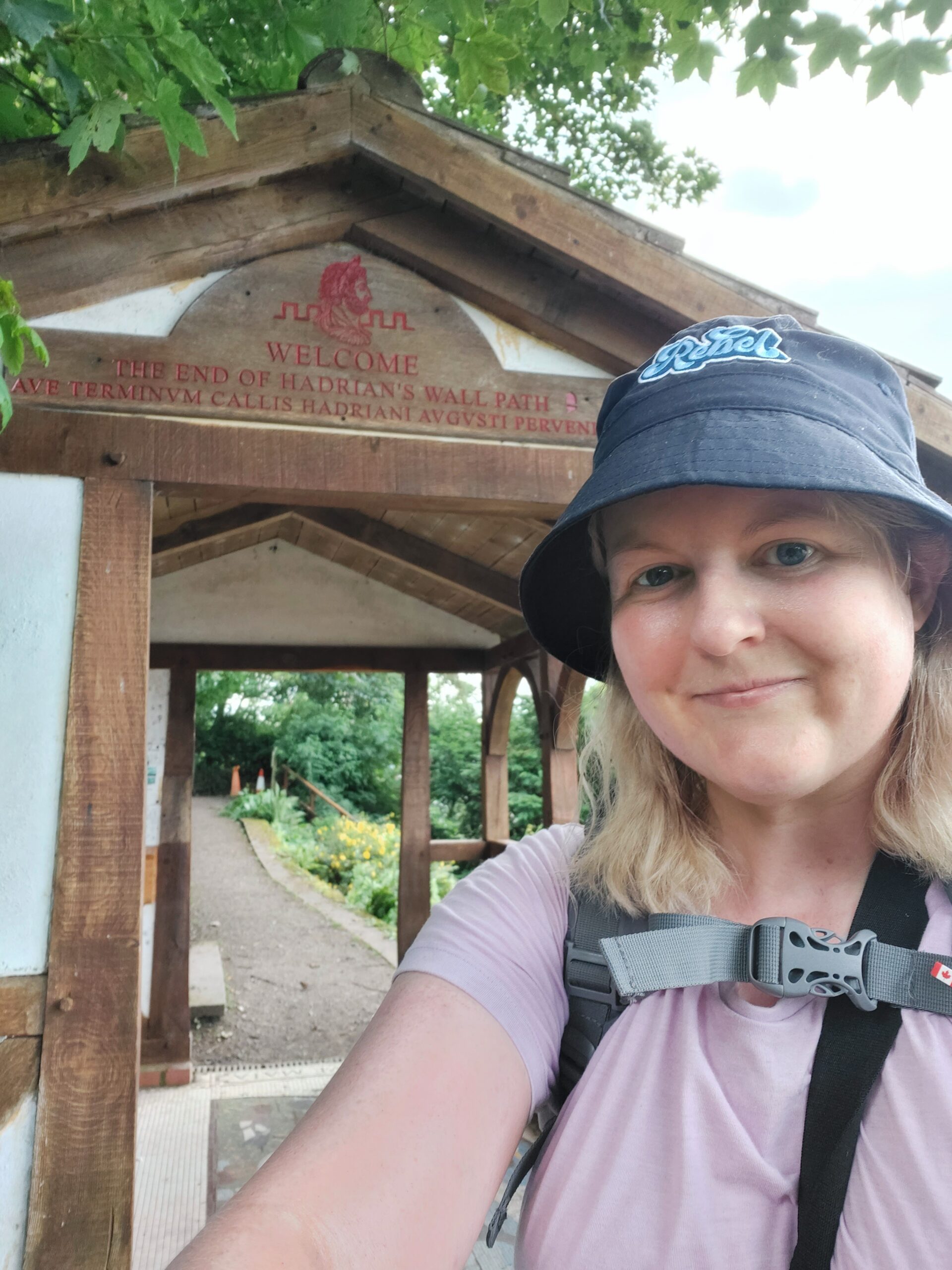
Me outside the endpoint of the walk at Bowness on Solway

I feel so proud that I’ve been able to finish the Hadrian’s Wall walk and I will be ordering my certificate and badge asap! I would love to go back to specific places on or near the Wall that I didn’t have a chance to explore properly, but as for doing the walk again – not a chance.

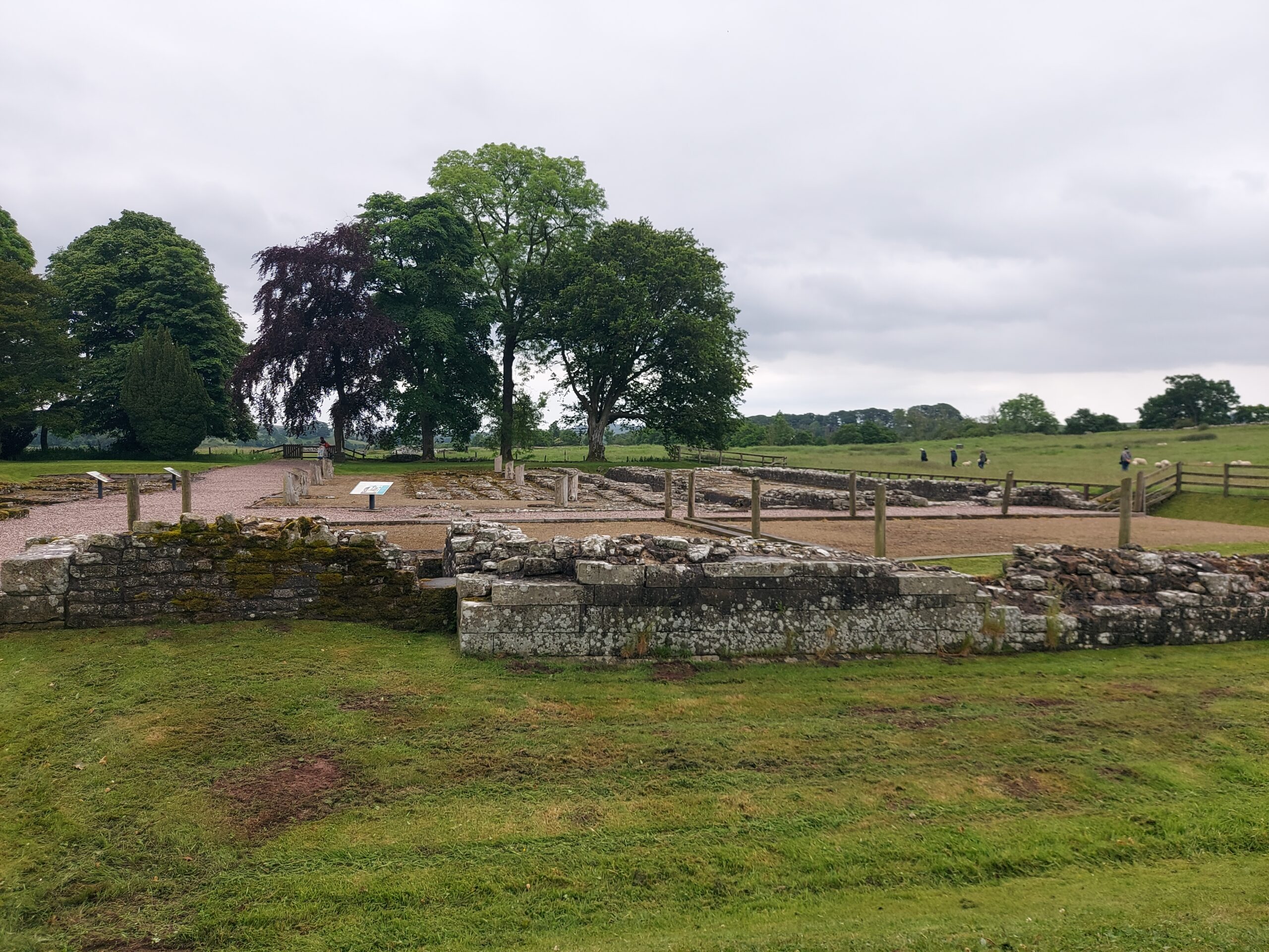
Chesters Roman Fort

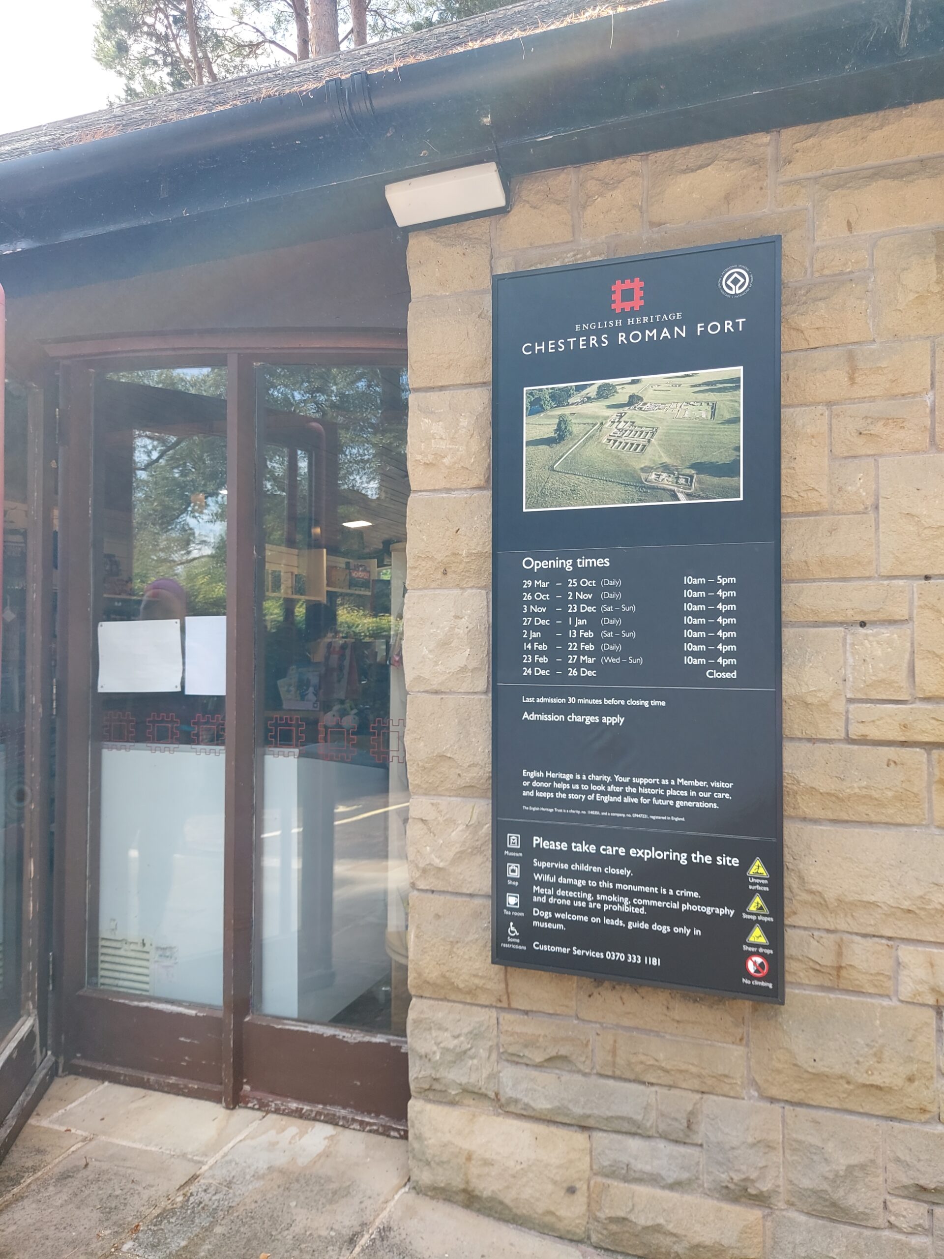
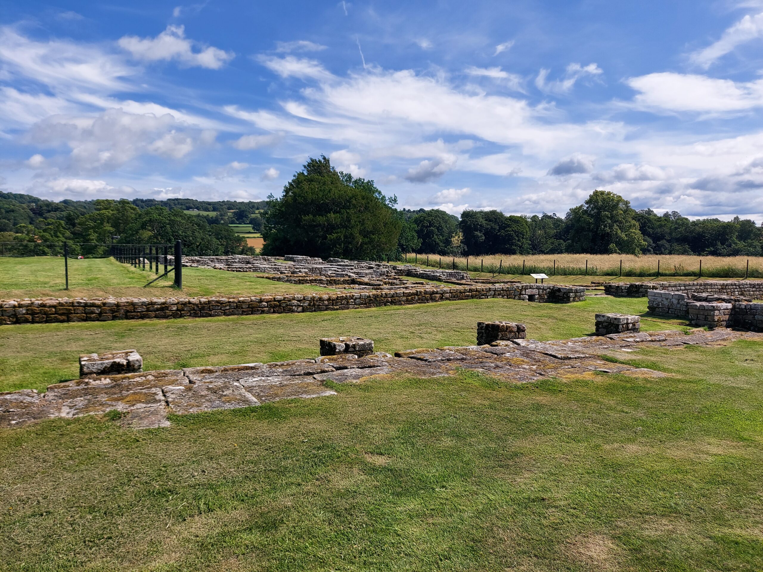
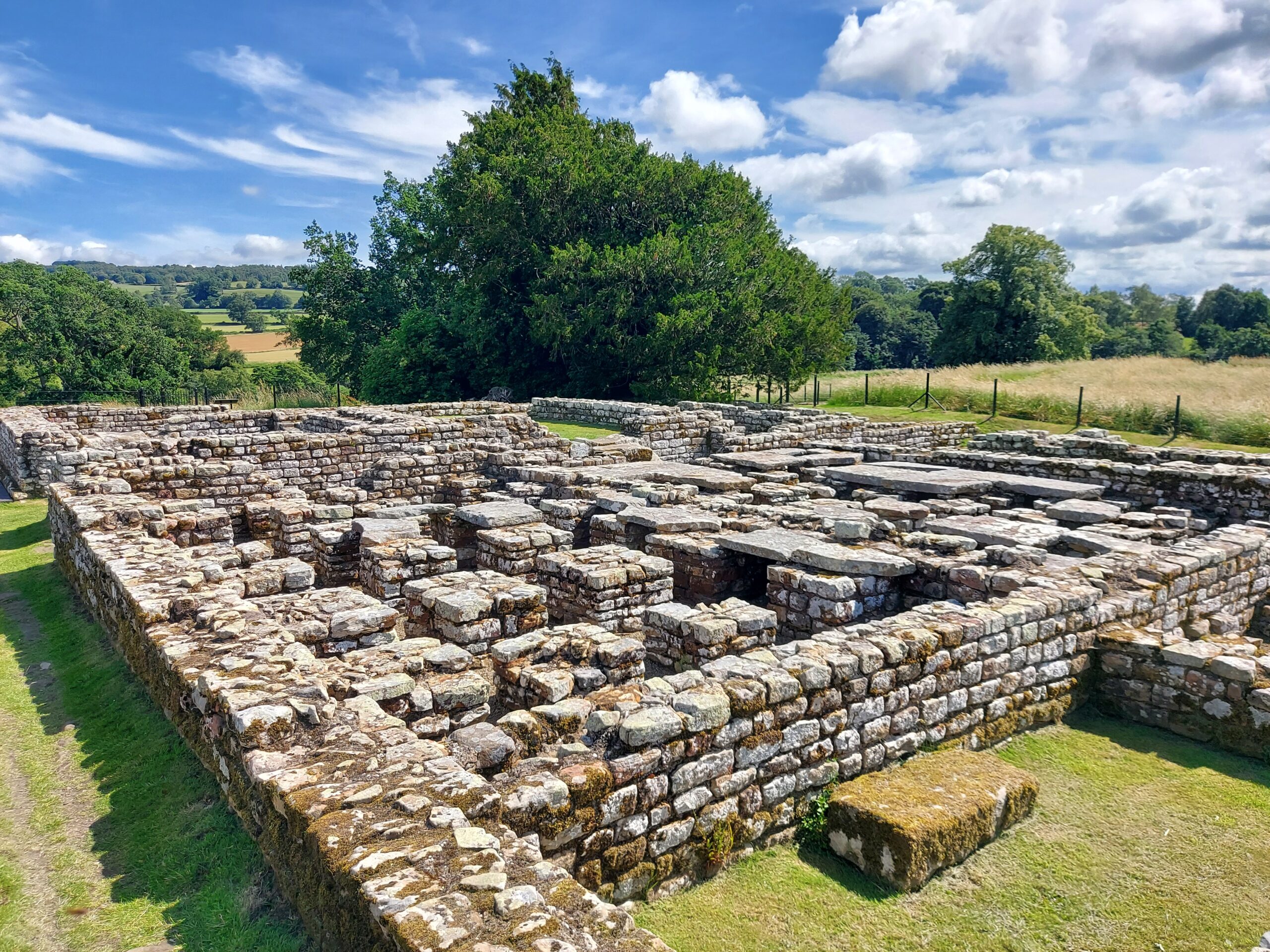
Before embarking on the rest of my Hadrian’s Wall trek, I decided, along with my walking friend Heather, to visit Chesters Roman Fort. Located in the village of Chollerford in Northumberland, it was known to the Romans as Cilurnum and has been called the best-preserved Roman cavalry fort in Britain.

Entrance to Chesters Roman Fort

Cilurnum was built in CE 124 on the banks of the North Tyne. It was home to around 500 cavalry troops for almost three centuries. The fort was originally uncovered by John Clayton, a Victorian antiquarian.

The fort

The fort

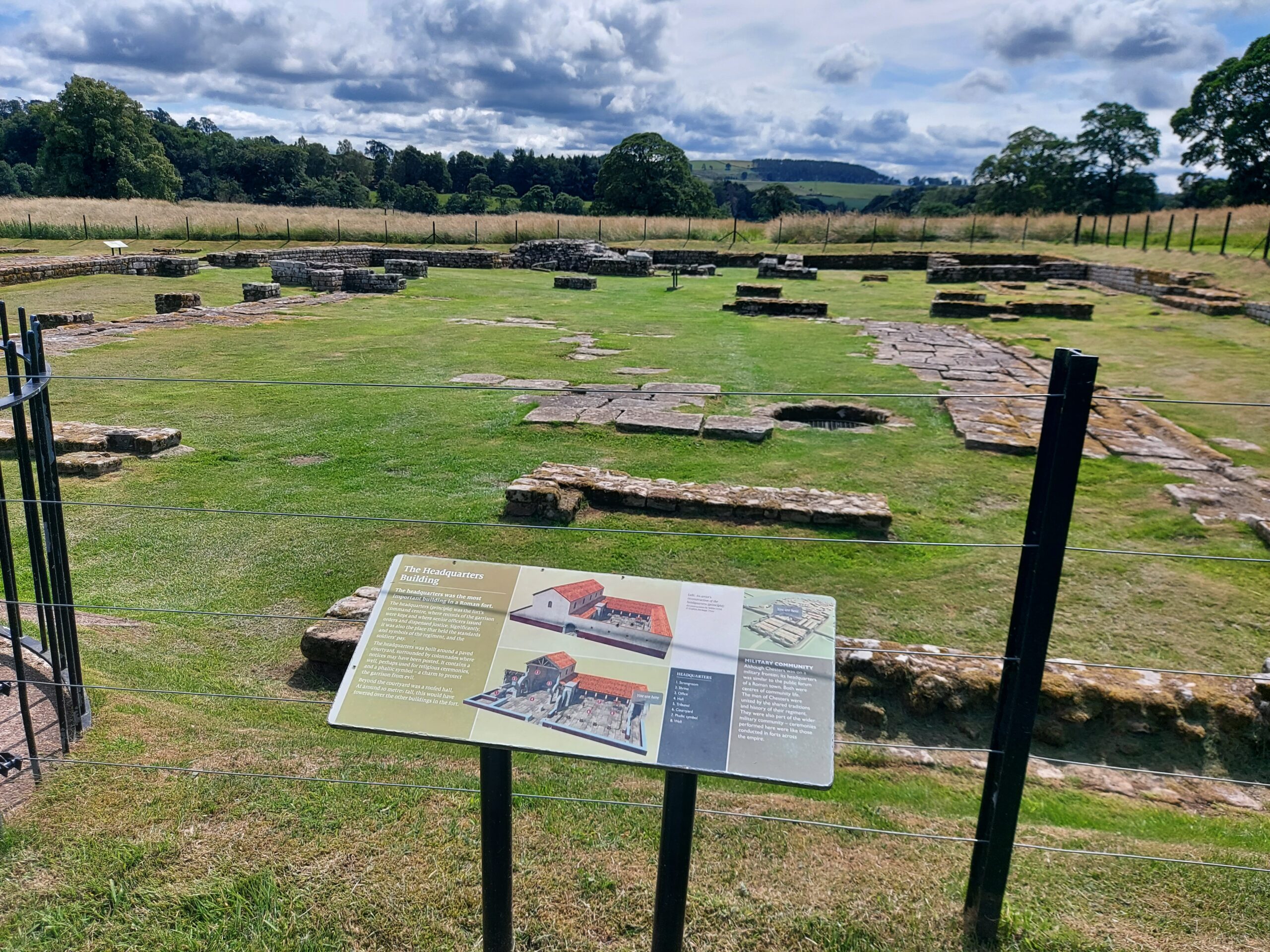
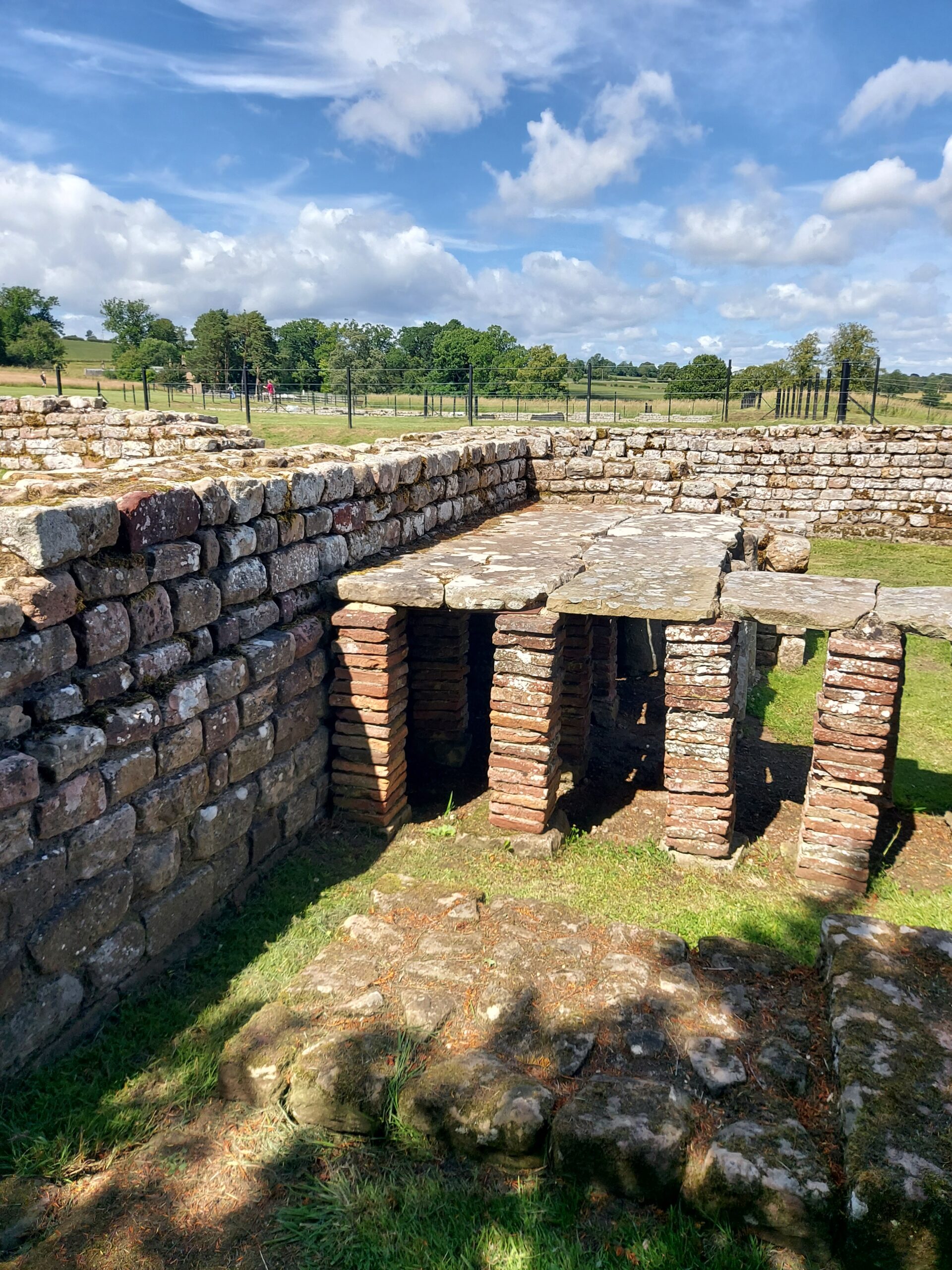
On arriving at Chesters, we first joined a tour of the site. Our guide was really interesting and informative and showed us the principal gates, the headquarters building, the stables and even the external bathhouse, which was particularly impressive.

Headquarters Building

Bathhouse

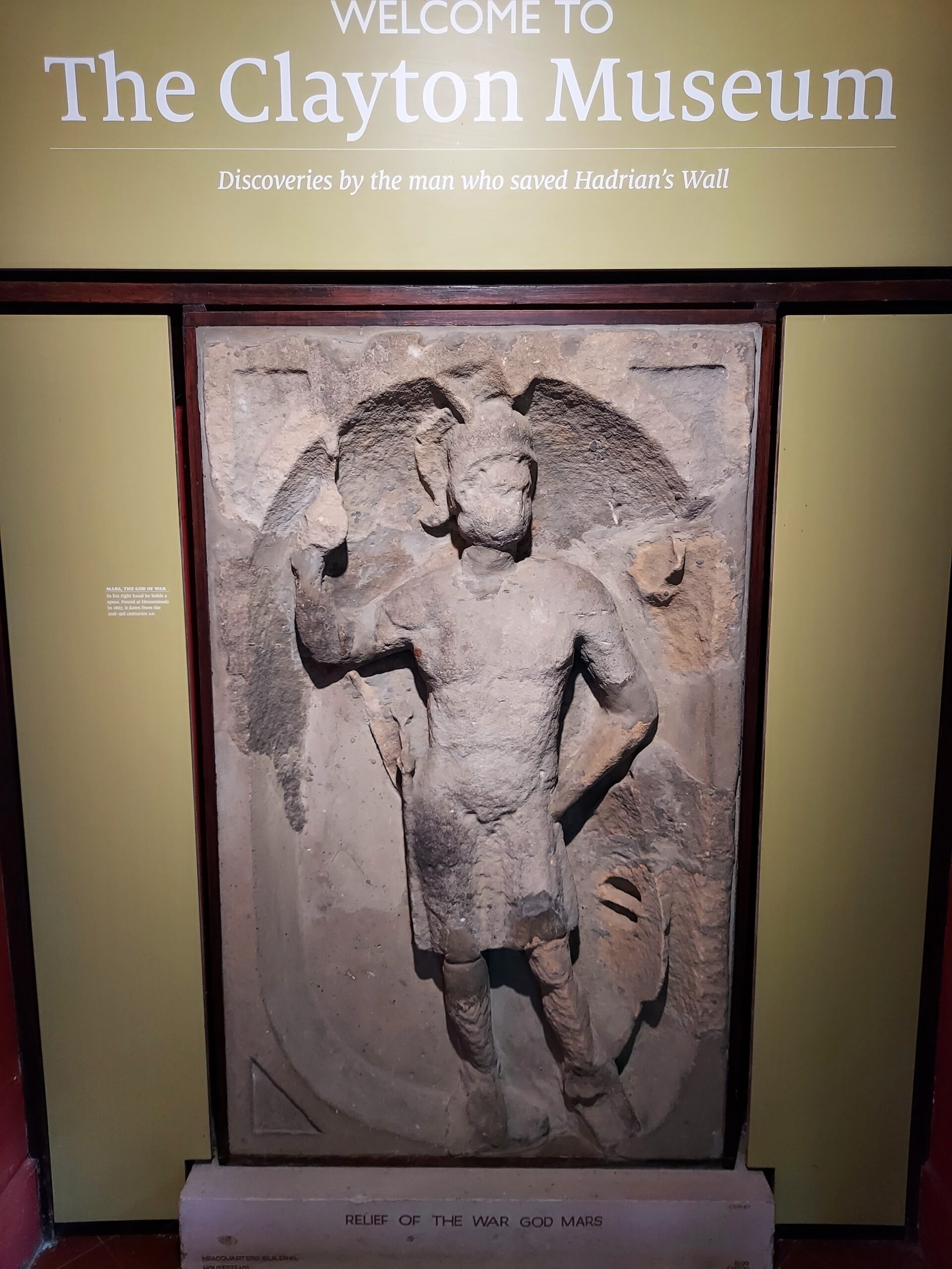
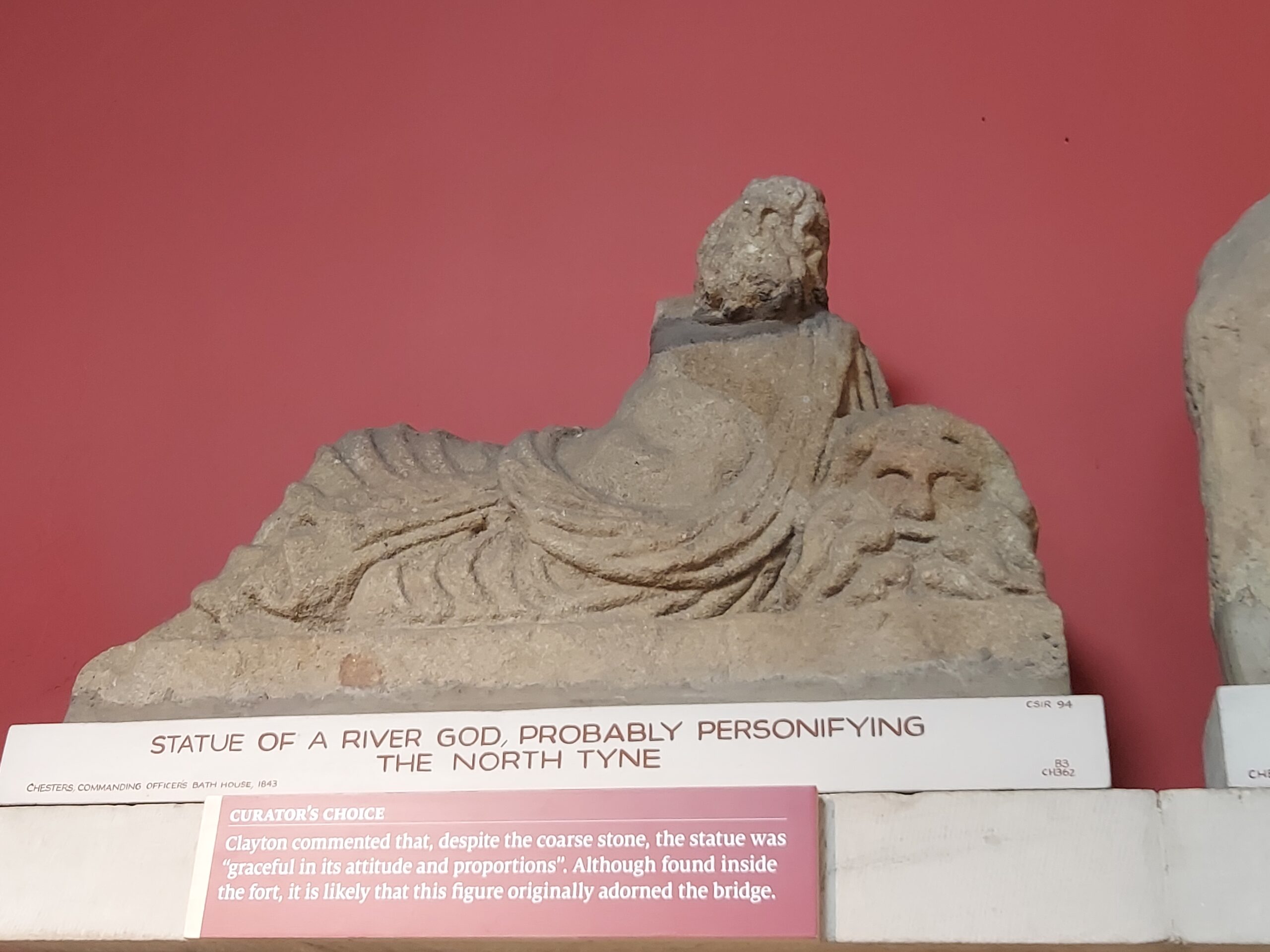
We then visited the Clayton Museum, home to several Roman artefacts from the area and nearby, including Coventina’s Well.

Clayton Museum entrance

Statue of a river god, possibly representing the North Tyne

We got our passports stamped before heading back to the Hadrian’s Wall path. Our visit was great fun and really helped put the Wall into context, imagining the Roman soldiers who once stayed here and walked the Wall.

FACTS

Address: B6318, Chollerford, Hexham NE46 4EU

Website: english-heritage.org.uk/visit/places/chesters-roman-fort-and-museum-hadrians-wall/

Opening Hours: Daily 10am-5pm

Price: Adult £11.90, child £5.95, concession £11.05

Hadrian’s Wall – Practice Expedition

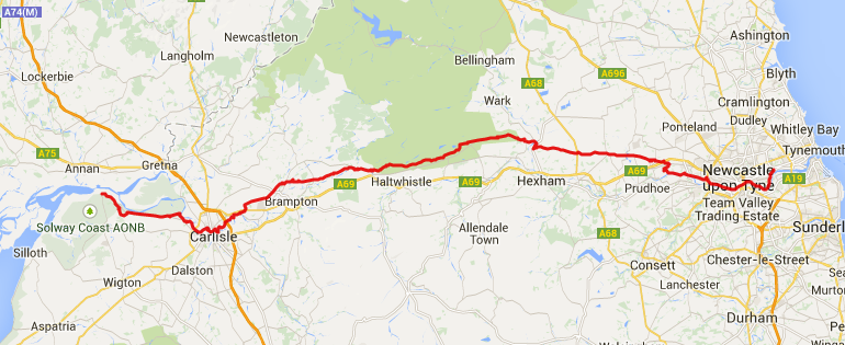
I must be slightly insane because this year I’m planning to walk Hadrian’s Wall. I’m doing it as part of my Gold Maverick Award, which is an assessed Rebel Badge Club challenge similar to the Duke of Edinburgh’s Award. I’m walking with Heather, a fellow Gold Maverick. The route is 84 miles, or 135 kilometres, between Bowness-on-Solway in the west and Wallsend in the east. After discussion, we opted to walk east to west, beginning at Wallsend.

Plan of Hadrian's Wall walk

As part of the Award we have to complete a ‘practice’ expedition followed by the ‘real’ expedition. We’ve decided to complete part of the Wall for the ‘practice’, and the rest for the ‘real’. The main expedition takes place in July, and we completed the ‘practice’ this past weekend. Our trip coincided with the hottest weekend of the year, which wasn’t ideal, but at least it wasn’t pouring with rain!

We met on the Friday and went for a couple of drinks in Newcastle before the adventure began. We also had tea at Wetherspoon’s – the Mile Castle – which seemed particularly appropriate. We stayed at the Albatross Hostel in a private room with bunk beds – comfy and good value.

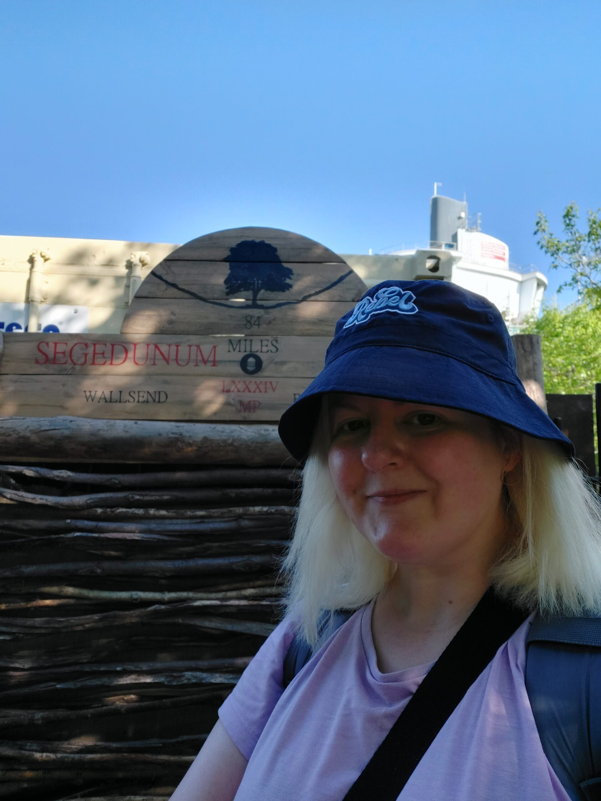
Me at the beginning of Hadrian's Wall at Wallsend

Day 1: Wallsend to Heddon-on-the-Wall, 15 miles

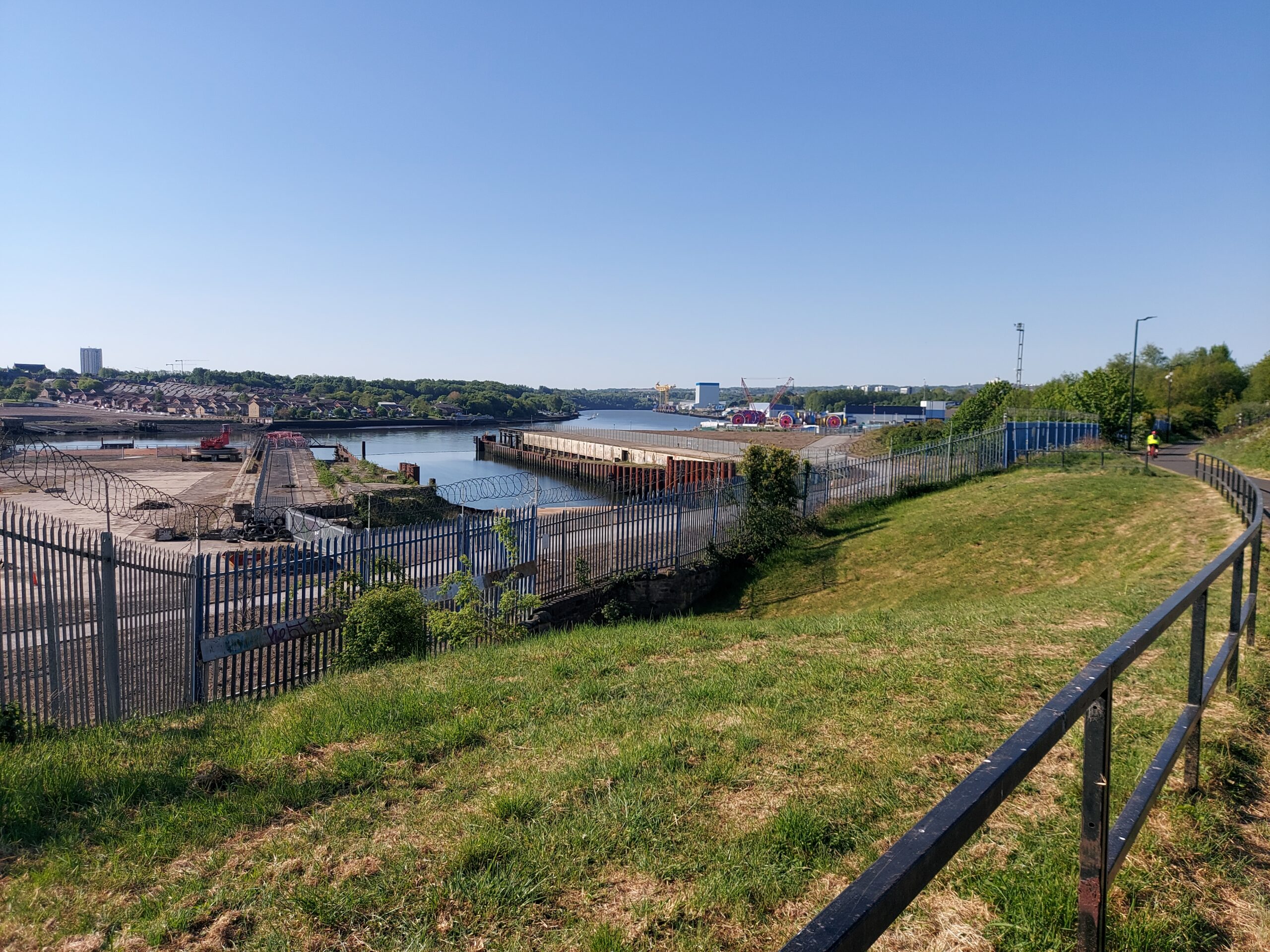
The Tyne at Wallsend

Our first full day of walking began at Wallsend – we took the Metro there and got our passports stamped at Segedunum Roman Fort. Our walk began with a long trek over pavements alongside the Tyne, with a section cutting through the centre of Newcastle. I confess the temptation to stop for a cocktail by the river was strong at this point, but we managed to resist! After a couple of hours we stopped for something to eat at Liosi’s Sicilian Cafe Bar.

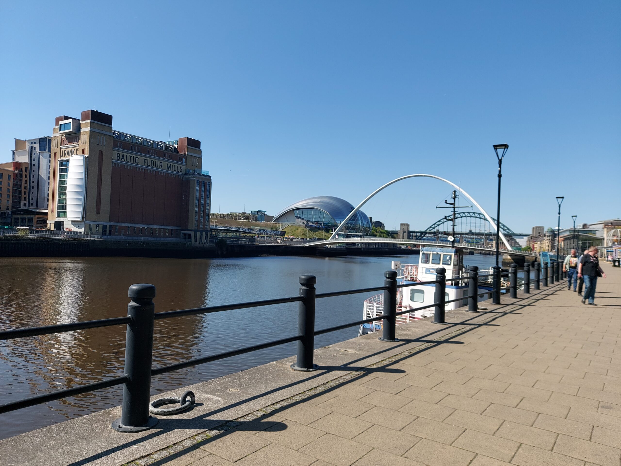
The Tyne with the Baltic, the Glasshouse, the Millennium Bridge and the Tyne Bridge in the background

The walk then took us further beyond Newcastle, alongside the river for much of the way, with a final long pull uphill to end the day with. We passed someone enthusing about a nearby observatory but we were too tired to make even a short detour!

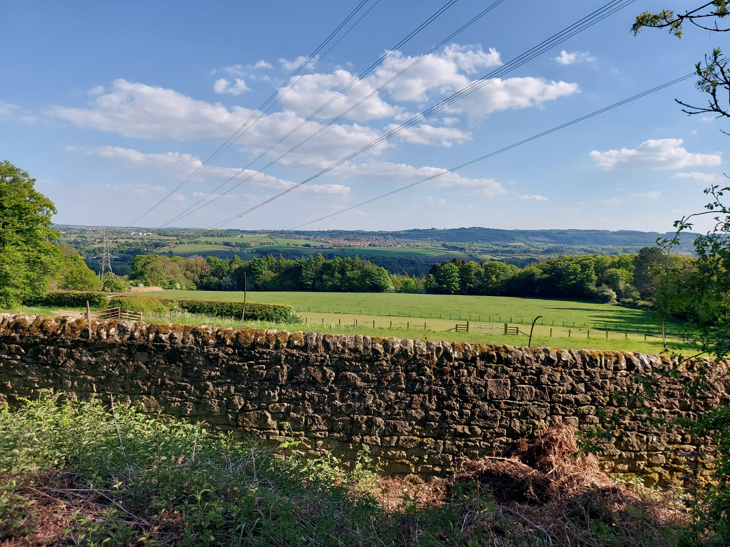
View on the way to Heddon-on-the-Wall, a blue sky with a few white clouds, a stone wall and rolling fields

Eventually we arrived at Heddon-on-the-Wall, exhausted, and had tea at The Swan before walking a short distance to Houghton North Farm, where we were staying. We ended up ordering pizza as we were much too tired to cook!

Day 2: Heddon-on-the-Wall to Chollerford, 14.5 miles

The following day, we set off in good time to start our journey to Chollerford. It was very hot again today. We stopped off at the Robin Hood Inn for a much-needed break and to get our passports stamped, before starting on the next section. The path here mostly ran alongside the B6318 and the old military road, so it was fairly easy to follow, though we didn’t see much of the wall itself.

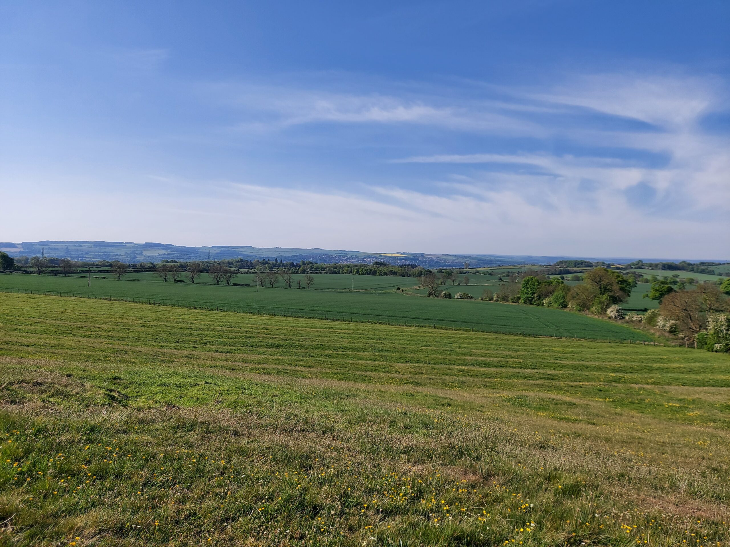
View on the way to Chollerford, a wide blue sky with fields beneath

We had a break at Errington Coffee House and enjoyed a sandwich before embarking on the final leg of our journey. We were pleased to come across a decent chunk of wall towards the end, which boosted our spirits somewhat!

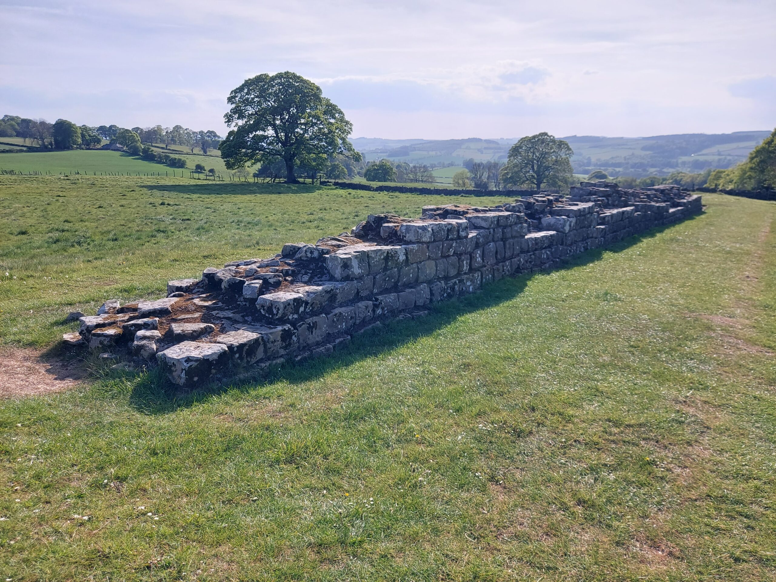
A piece of wall

Arriving in Chollerford later than we had planned, I ended up phoning my brother to come and get me. It was sobering driving back home along more or less the same route I had been painstakingly walking for the last two days.

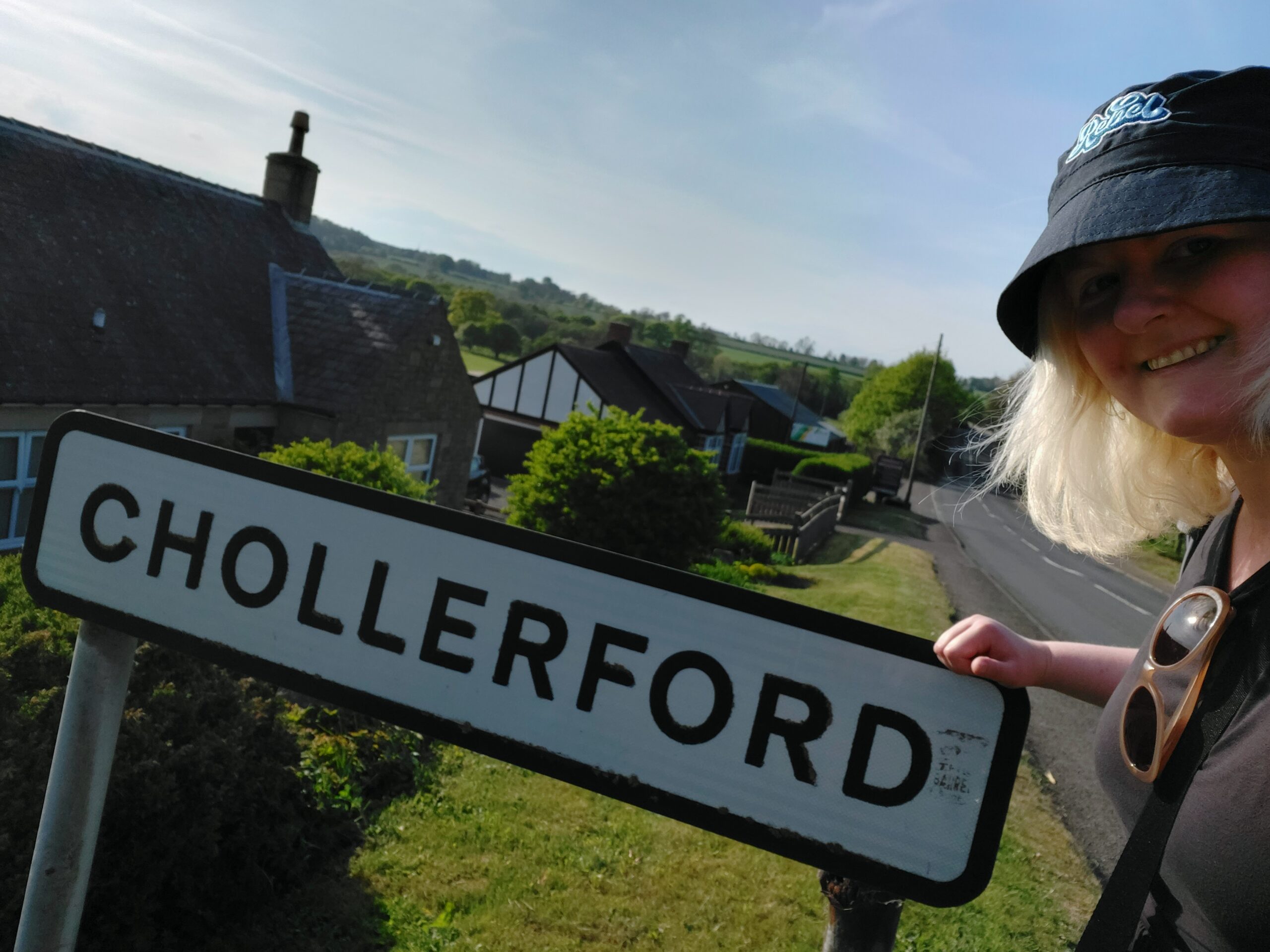
Me with the Chollerford sign

We ended up doing around 30 miles this weekend, which was a decent chunk of the walk. I was pleased that we managed to complete it, and learned what to do and what not to do during the ‘real’ expedition in July. One important point being – don’t leave your walking poles at home!