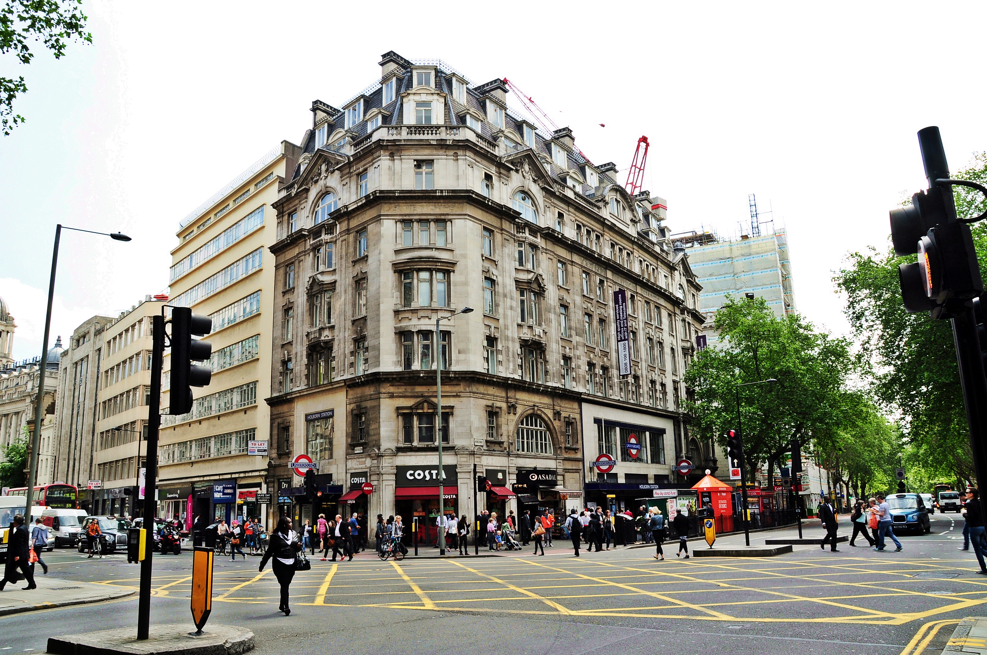
I signed up to the Hidden London digital tour of Holborn Kingsway because I thought it looked pretty interesting, and I wasn’t wrong. Even though I’ve been to Holborn station plenty of times, this talk covered the Kingsway area in general, and was fascinating.
Kingsway runs from Holborn to the Strand, and was transformed at the turn of the twentieth century by the London County Council (LCC), from Victorian slums to a modern thoroughfare with modern transport infrastructure built in. The Underground station was well-used from the start and remains so today, starting off as a Piccadilly line station and expanding in 1930 to fit the Central line too; the branch line to Aldwych (a now-disused station which you can visit on virtual and, in non-Covid times, in-person tours) was not, and eventually closed. However, the talk mainly focused on the tramway.
The Kingsway Tram Subway ran beneath Kingsway allowing trams to travel between the Victoria Embankment to Southampton Row easily, linking the tramways of north and south London. It was built using a cut-and-cover method, like the early Underground lines. Originally designed for single-decker trams, it was later upgraded to fit double-decker trams, and reopened in 1931. Owing to dwindling usage, trams were eventually discontinued in central London, with the final trams running through the Kingsway Tram Subway in 1952. The subway still exists, however, and the photos of waiting passengers side-by-side with modern pictures of the empty and derelict space were really evocative.
After a rest of a few days, I headed back into central London to complete the final two ShaLT walks. Walk 4 began in Whitechapel, at the site of the Red Lion, founded in 1567.
Site of the Red Lion
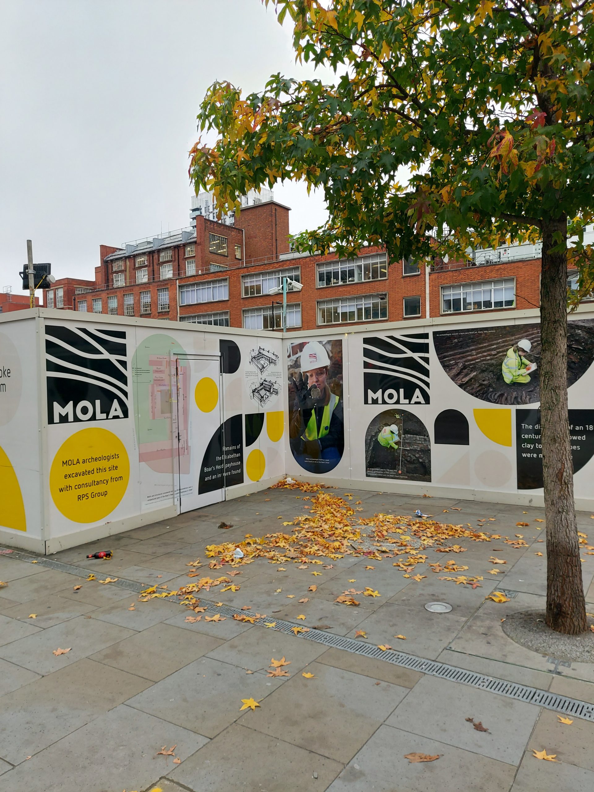
Walking west along Whitechapel Road, I came to the Boar’s Head site, soon to be built on. Hoardings around the site acknowledge it as the location of this playhouse, a converted inn, built in 1598. It was used by Queen Anne’s Men and possibly Prince Charles’s Men, but ceased to be a playhouse in 1616.
Site of the Boar’s Head
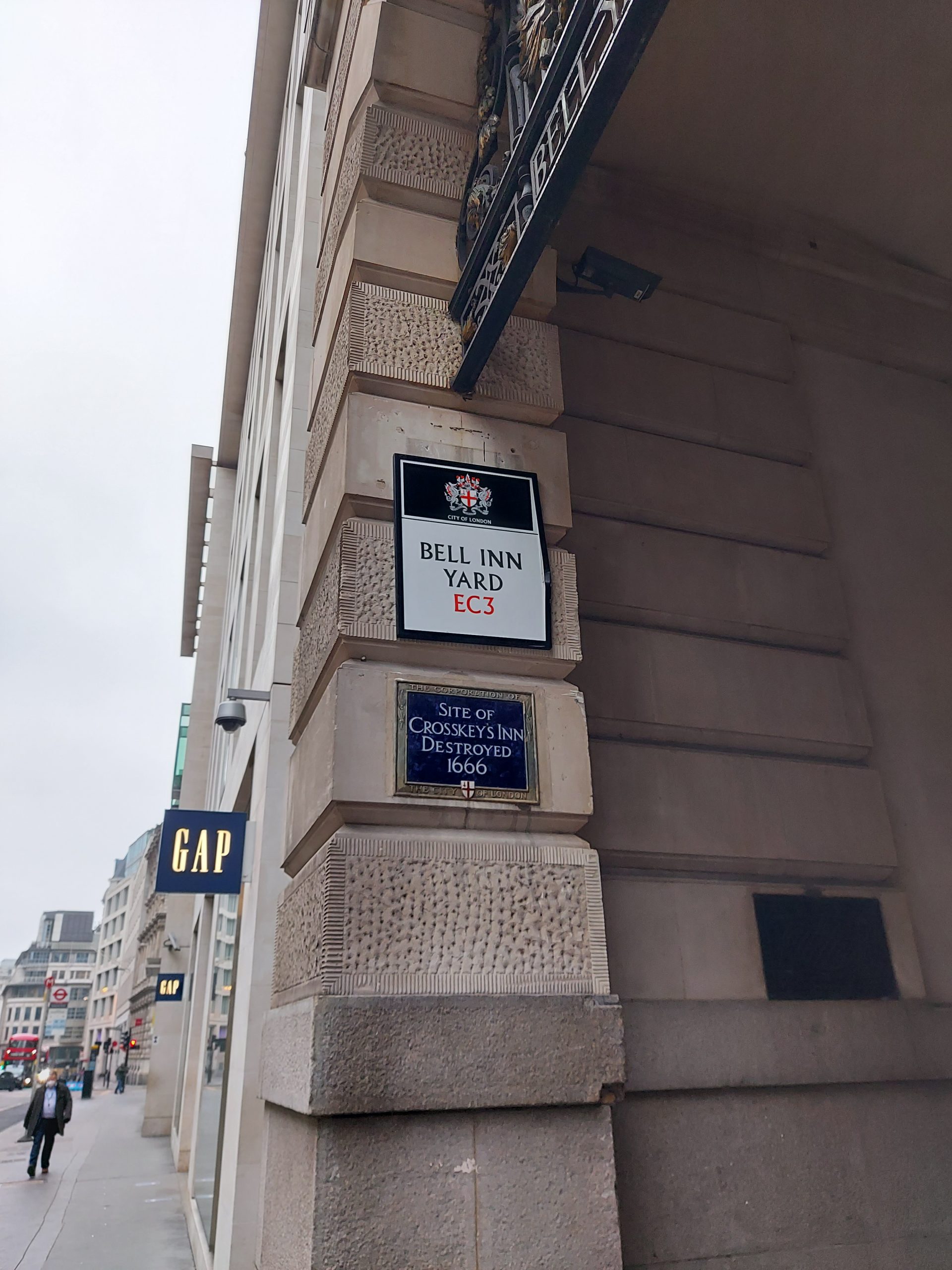
Walking south down Bishopsgate and then Gracechurch (Gracious) Street, I passed the sites of the Bull Inn, the Bell and the Cross Keys, the other inns that along with the Bel Savage were granted licenses by the City to perform plays.
Site of the Bull Inn
Site of the Bell and Cross Keys inns
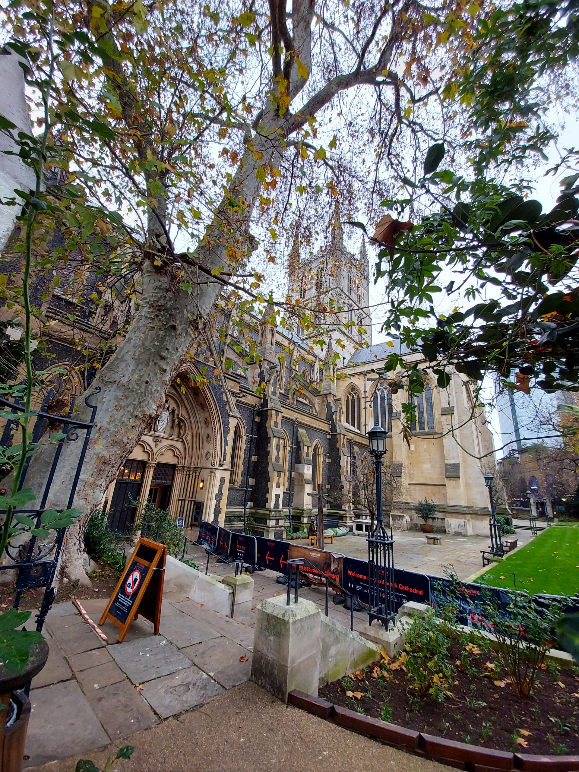
By now I’d almost reached the river, so I crossed at London Bridge and made my way to the start of Walk 5. This final walk began at Southwark Cathedral, which has memorial slabs to Edmond Shakespeare, John Fletcher and Philip Massinger.
Southwark Cathedral
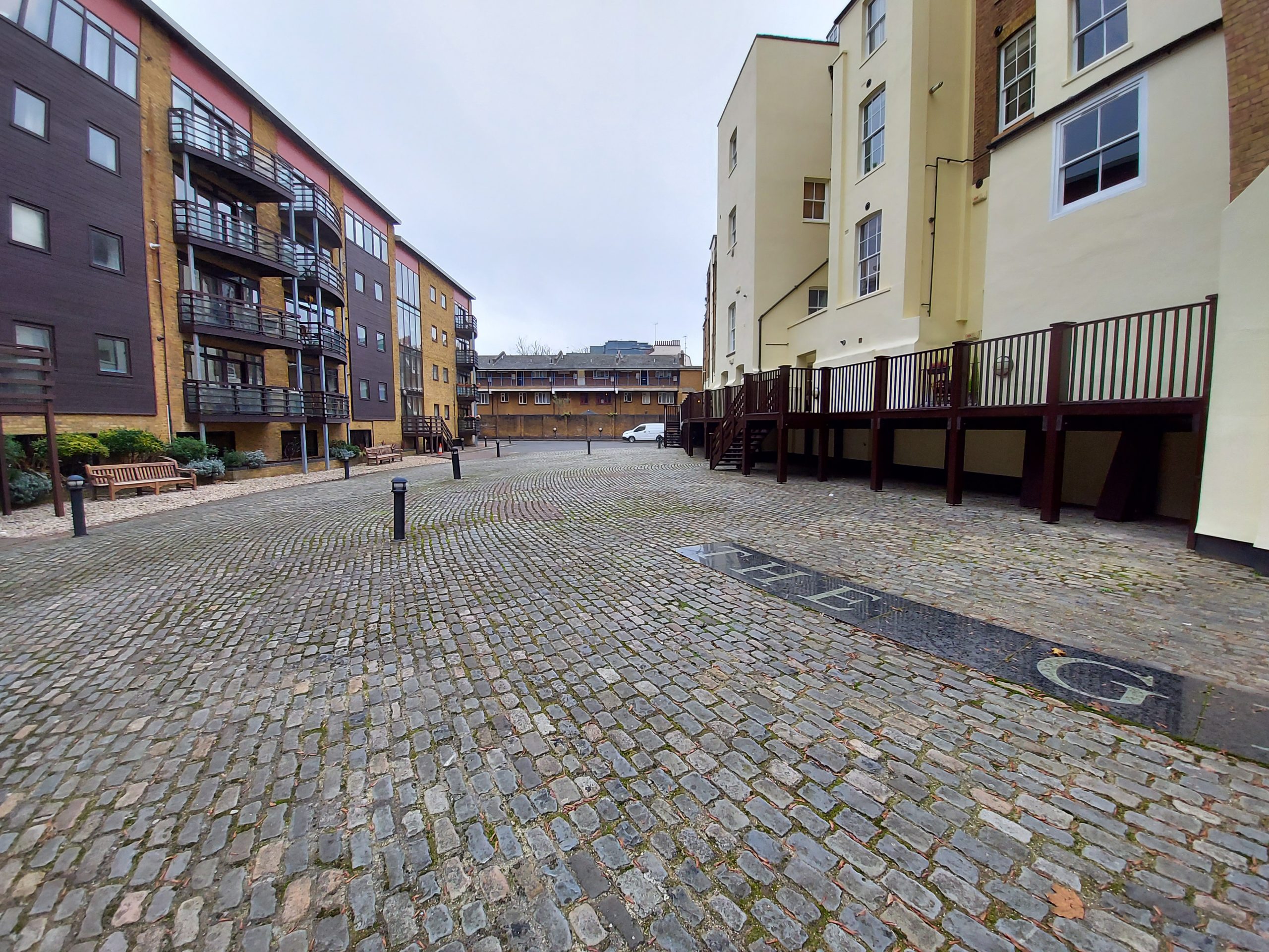
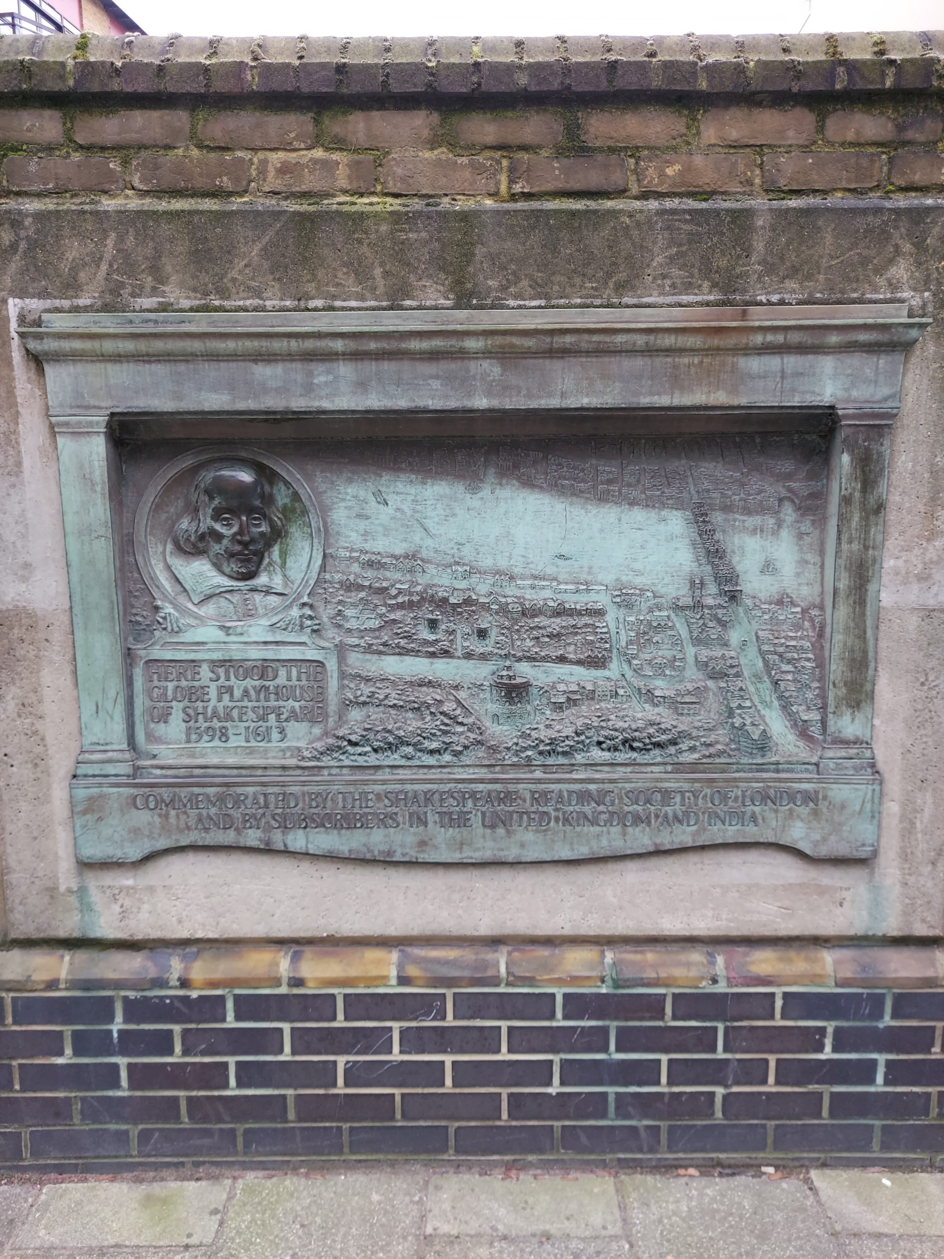
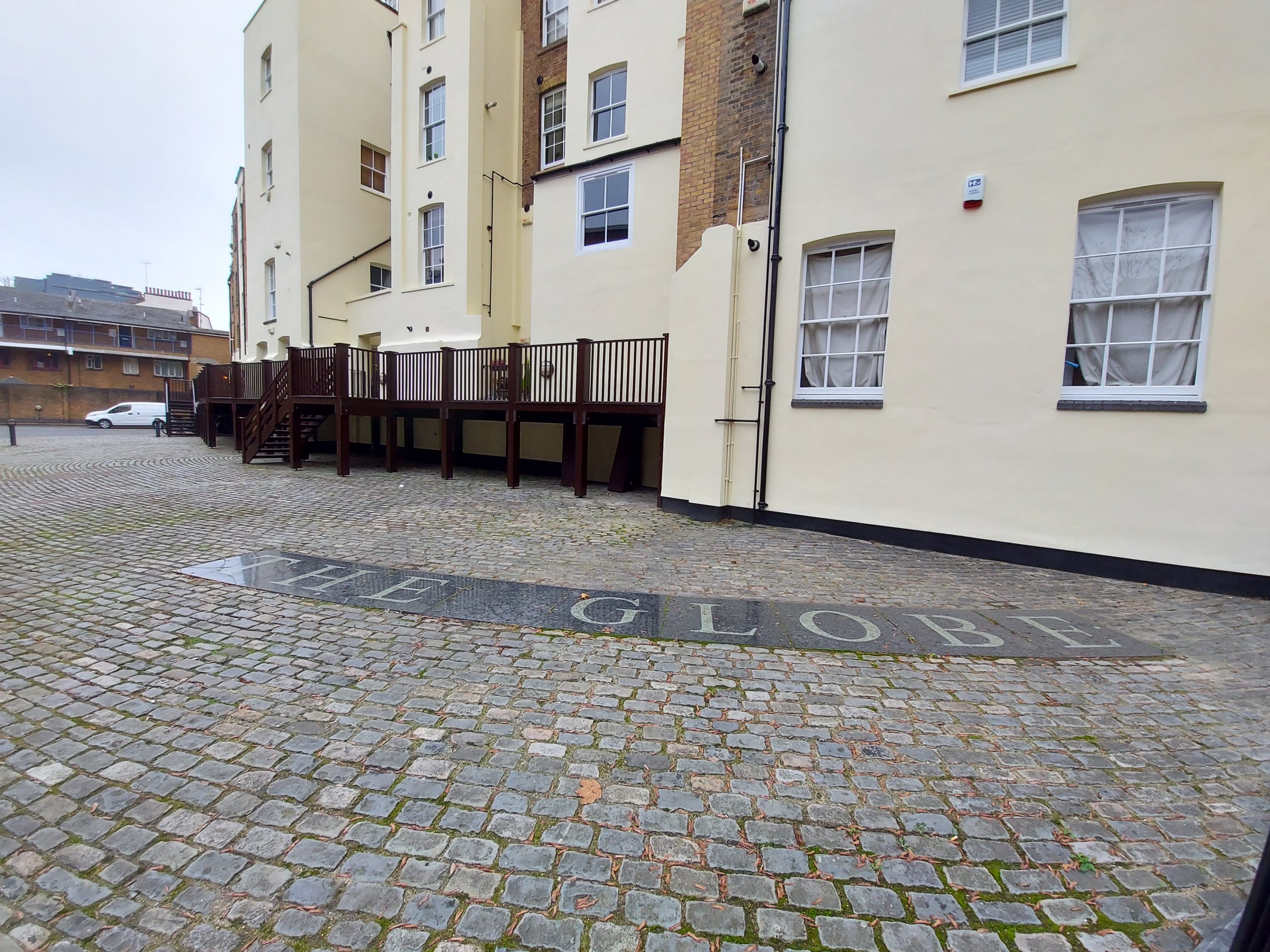
I then headed west to the site of the original Globe theatre, which opened on Bankside in 1599 and remained open (apart from the interval between the first Globe burning down in 1613, during a performance of Henry VIII, and the second Globe being built) until 1642. This theatre hosted the Chamberlain’s, later the King’s, Men and premiered many of Shakespeare’s plays including Hamlet, King Lear and Othello.
Site of the Globe
Plaque showing the location of the Globe
Site of the Globe
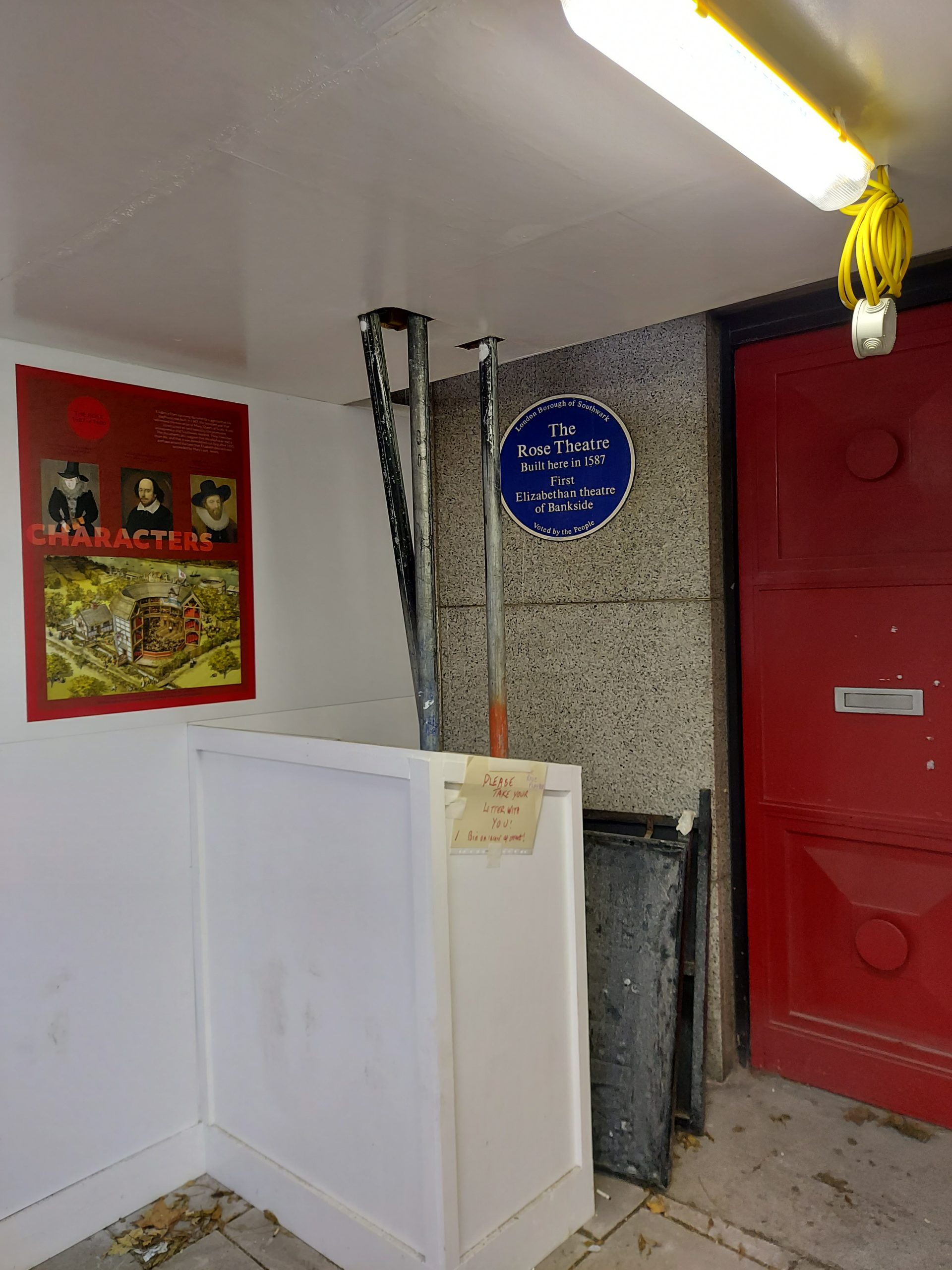
A little further along the same road is the site of the Rose, the first theatre to open on Bankside, built by Philip Henslowe in 1587. It staged plays until 1604, and was home to the Admiral’s Men between 1594 to 1600. The theatre showed many plays by Christopher Marlowe, including Tamberlaine, The Jew of Malta and The Massacre at Paris. The site was discovered and excavated in 1989; after a campaign by many key figures in the arts, it was preserved and is now enclosed beneath offices.
Location of the Rose
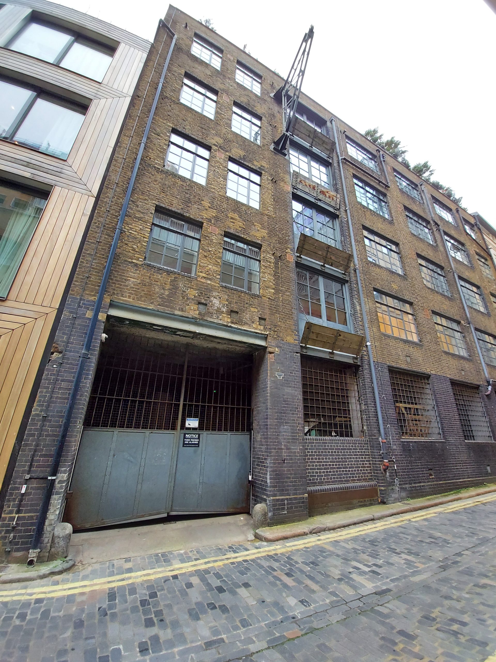
Nearby is the site of the Hope Theatre in Bear Gardens. Opened in 1614 by Philip Henslowe, it had a dismountable stage so that it could show bear-baiting and swordfighting as well as theatrical performances. Ben Jonson’s Bartholomew Fair premiered here in 1614, and in the printed text Jonson complains about the smell.
Location of the Hope
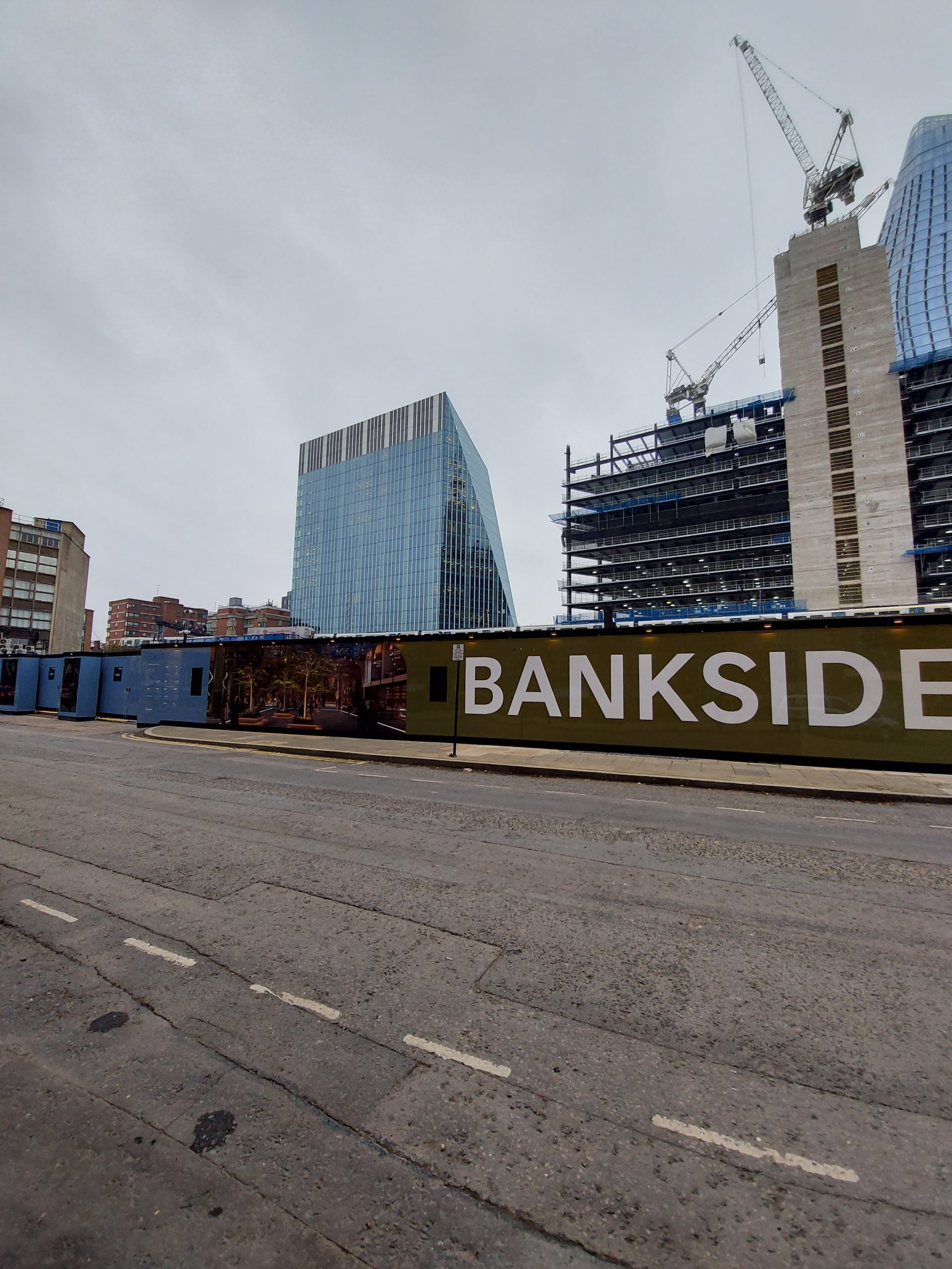
Finally, the walk ended at the site of the Swan, opened in 1595 by Francis Langley to compete with the Rose. It was handily positioned near Paris Garden stairs where patrons arriving by river would land, but did not enjoy the success of the Globe and the Rose. It closed in around 1628.
Location of the Swan
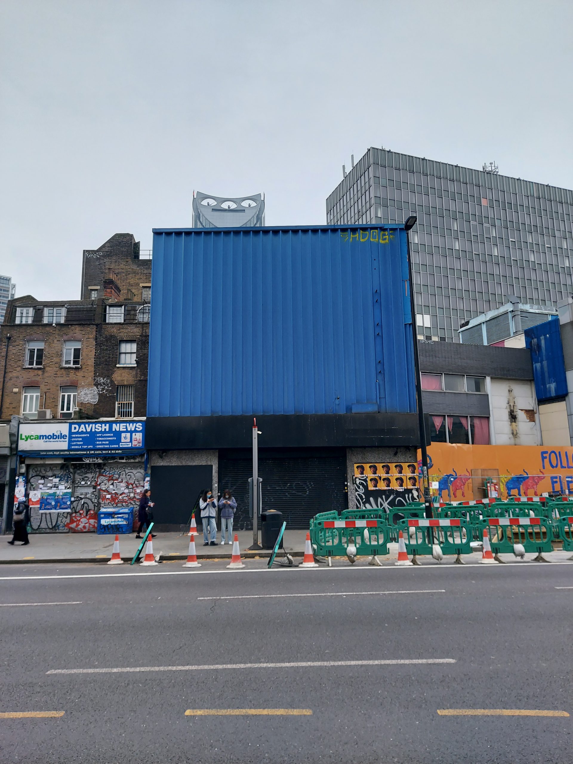
Having reached the end of the walk, I decided to travel south to Elephant & Castle to check out a couple of other sites on the map. The Newington Butts theatre (1575-95) was on the site of what is now (albeit not for long) the Coronet music venue.
Location of Newington Butts
Finally, I ended up in St Mary’s churchyard. No longer recognisable as a churchyard, except for the name, it is the burial place of playwright Thomas Middleton, who lived in the area and died in 1627.
St Mary’s churchyard
So with that I come to the end of the ShaLT walks. I have more of a sense now of the geography of Elizabethan and Jacobean theatreland, and how everything fits together. I hope in the future even more can be discovered about performance and theatregoing during this period.
After completing the first two ShaLT walks, I went back to central London the very next day to tackle Walk 3. I only did one walk today as it was by far the densest in terms of locations.
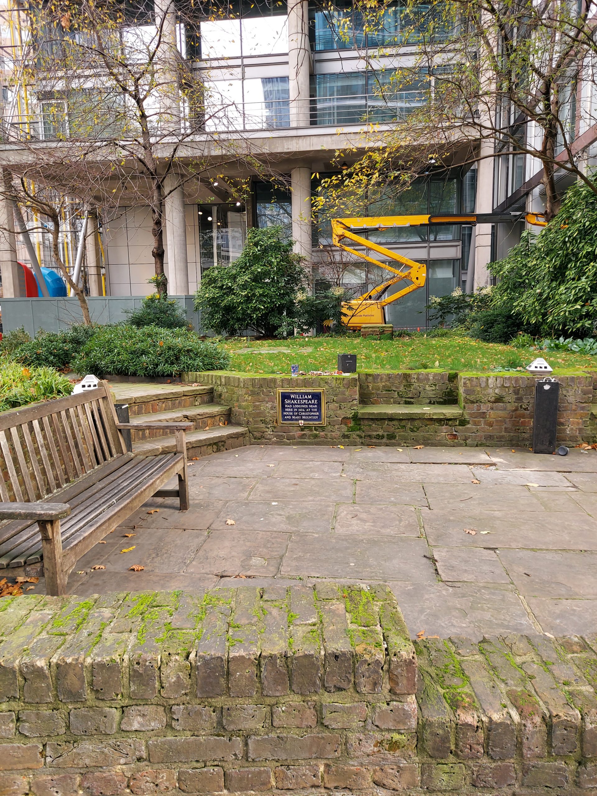
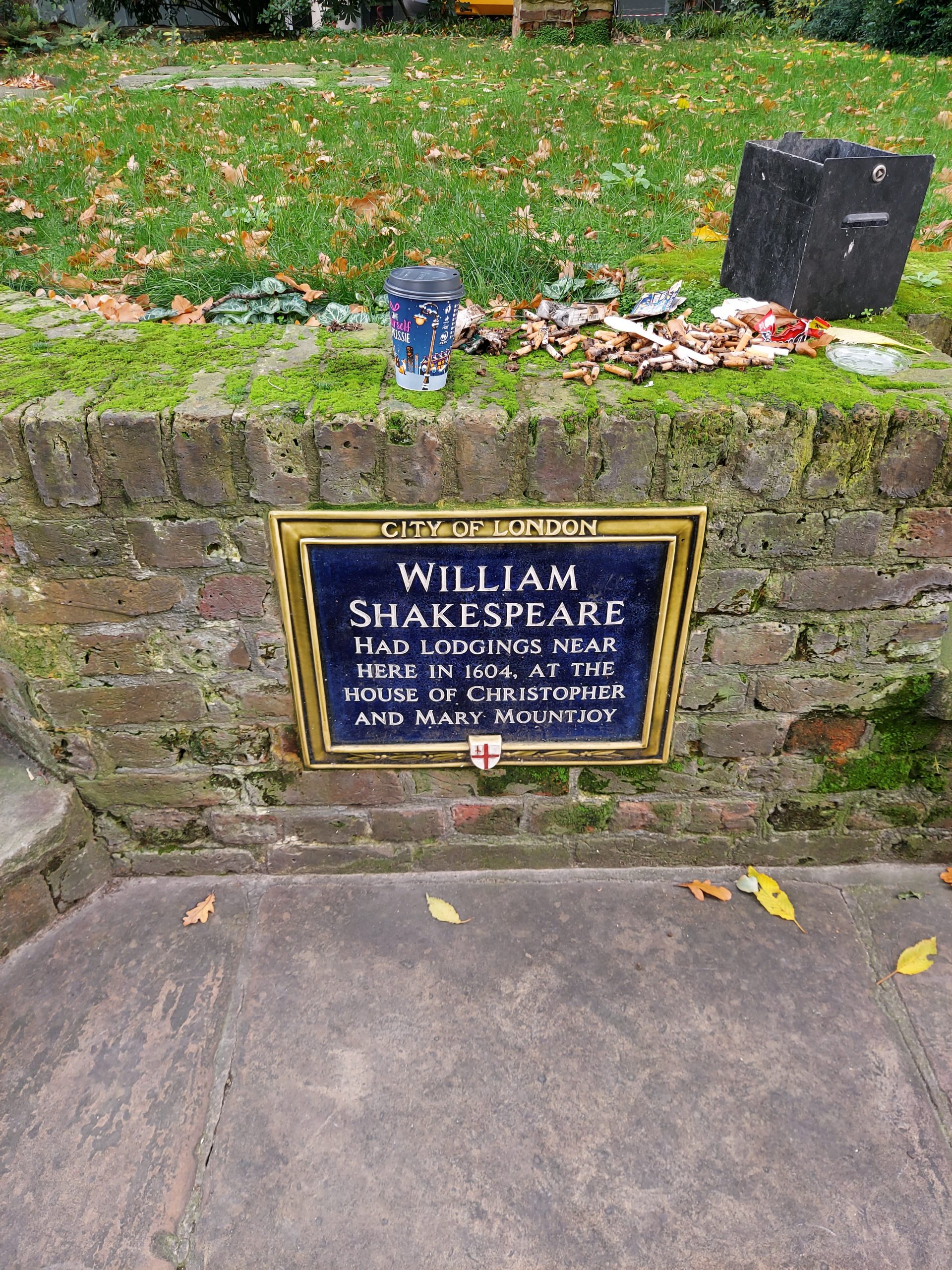
The walk began at St Paul’s, and the first thing I did, although it wasn’t officially part of the walk, was to head north to find the site of Shakespeare’s former lodgings on Silver Street, near St Giles’s Church. I also found the third location of the Revels Office (1612-30), on Peter’s Hill near the College of Arms.
Derelict church now used by the public
Plaque showing that William Shakespeare’s lodgings were nearby
Location of the Revels Office
I then followed the map to the location of the Bel Savage at Limeburner Lane. In 1583 four inns were licensed by the City for dramatic performances; the Bel Savage was one of these taverns. Playing in the City was banned in 1594.
Location of the Bel Savage
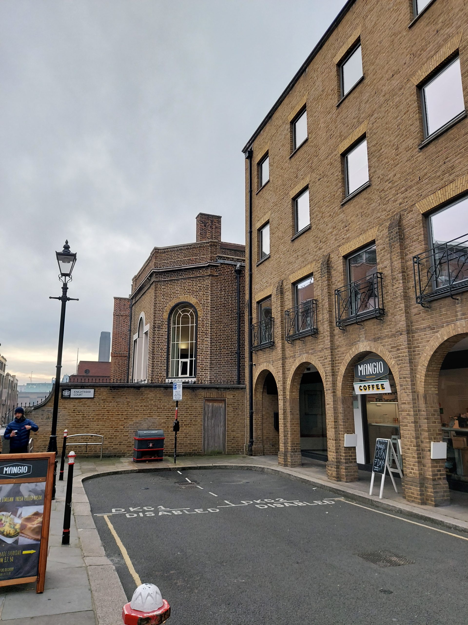
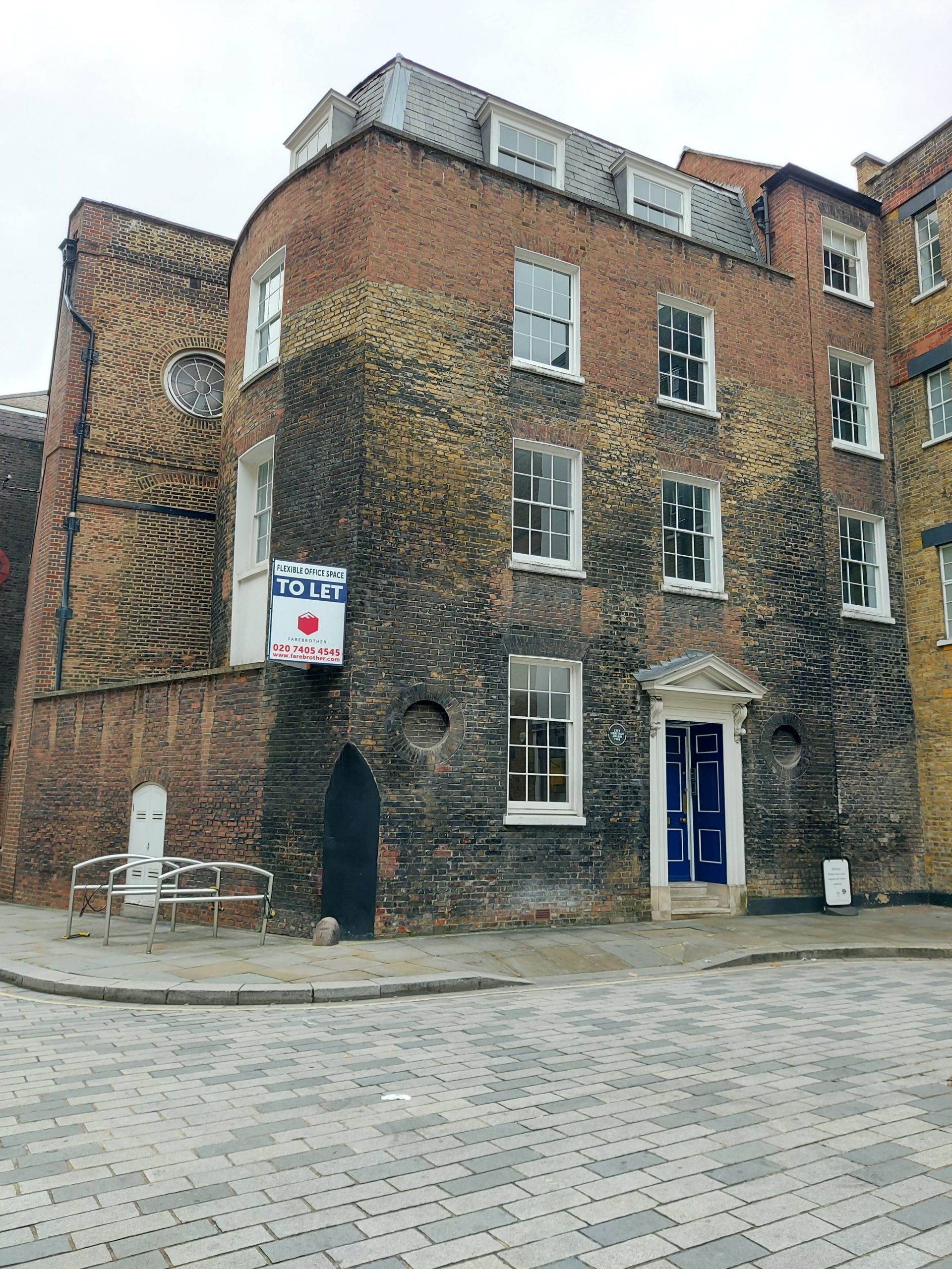
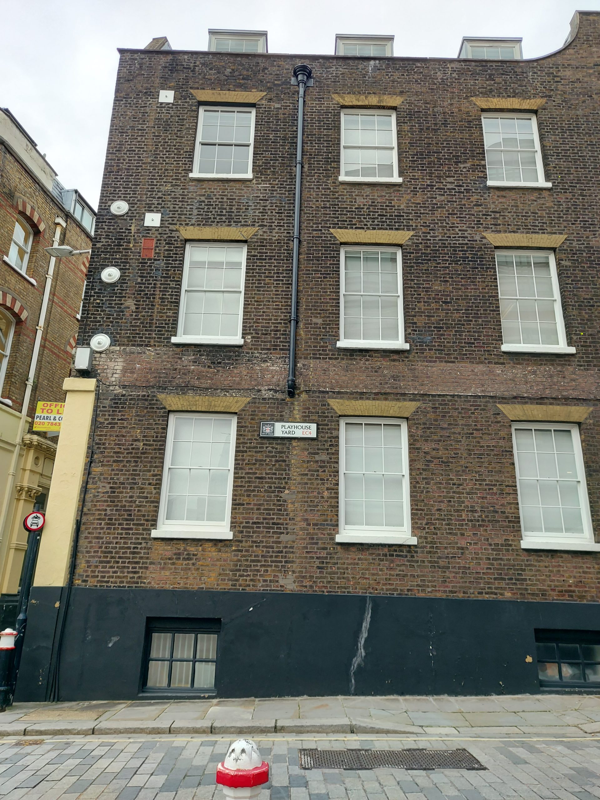
I tried to find Shakespeare’s other known London residence at the Blackfriars East Gatehouse, but I struggled with this and gave up in the end. I had a bit more luck with the site of the two Blackfriars theatres: originally a smaller stage in an upper room from 1576-90, then a purpose-built stage in upper rooms, accessed from Playhouse Yard, which staged plays between 1596 and 1642. This second theatre became the model for all future theatres, and was used by Shakespeare’s company, who staged plays at the Globe in summer and the Blackfriars in winter – a programme emulated by the modern-day Shakespeare’s Globe.
Location of the first Blackfriars
Location of the second Blackfriars
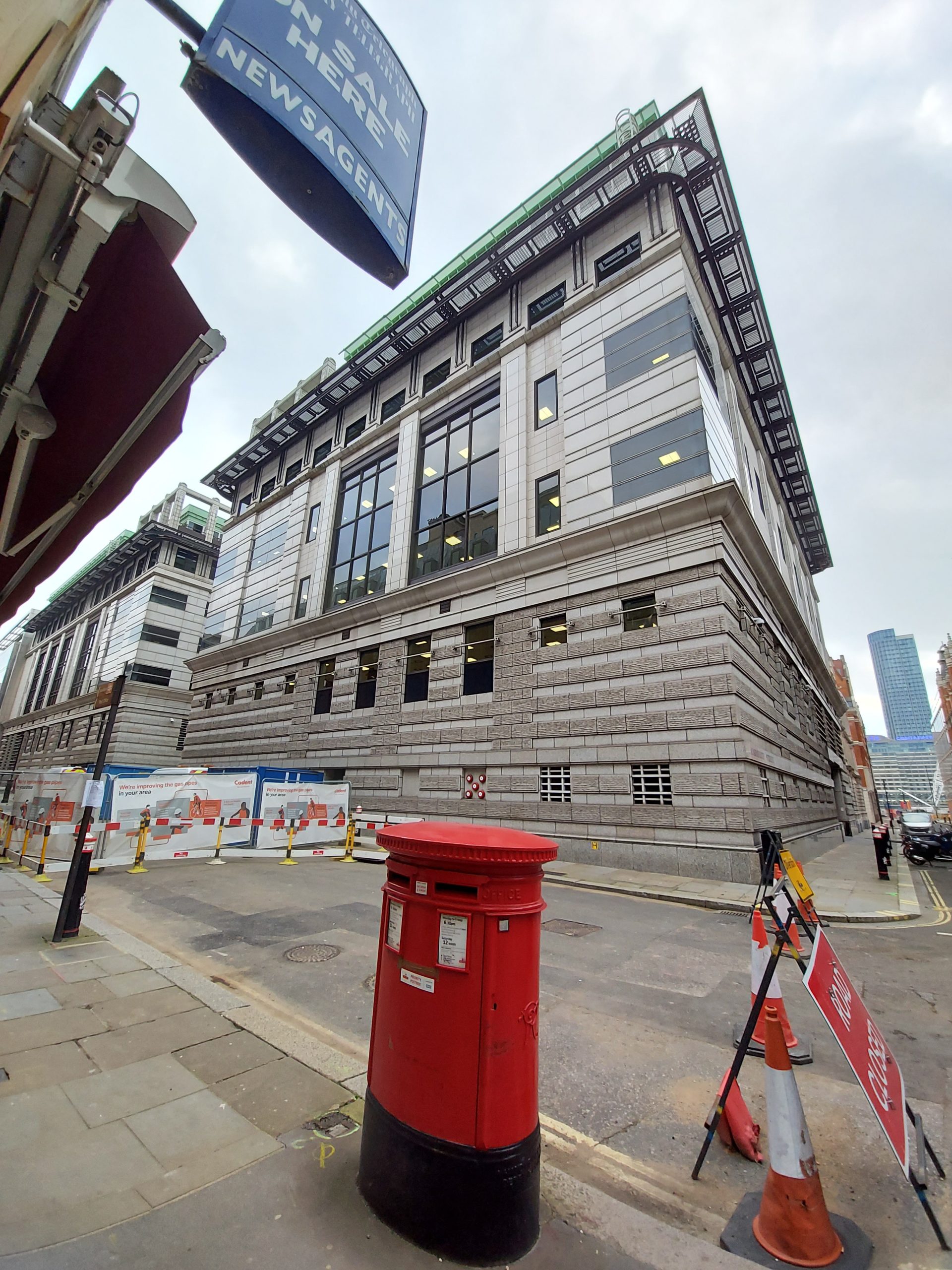
Disentangling myself from the maze of streets surrounding Blackfriars, I headed west towards the location of Salisbury Court. This indoor theatre was opened in 1629, the last of the period’s theatres to open. William Blagrave (Deputy Master of the Revels) and actor Richard Gunnell hoped that it would compete with the other nearby indoor theatres including the Blackfriars. Later on the Richard Brome became the resident writer, and many of his more famous works were staged here, including The Asparagus Garden.
Location of Salisbury Court
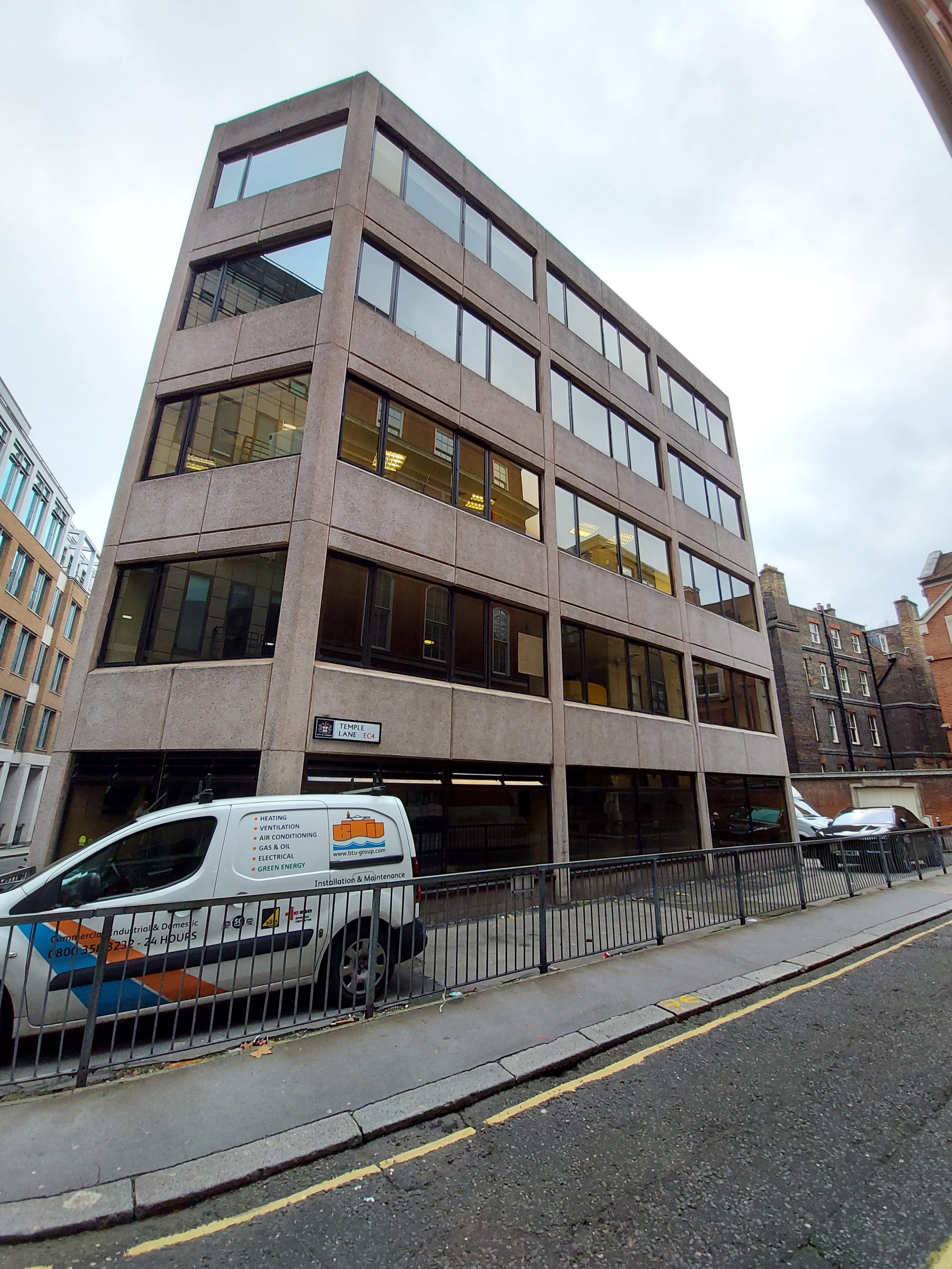
A little further along was the location of the Whitefriars (as well as the second Revels Office, 1608-1611). Paul Rosseter opened this theatre in 1609, and at first it was home to the boy actors from the Blackfriars, until 1613 when the company combined with the Lady Elizabeth’s Men until the lease ended in 1614.
Location of the Whitefriars
This walk included the Inns of Court: Inner Temple Hall, Middle Temple Hall, Lincoln’s Inn Hall, and Grays’s Inn Hall. However, these sites were all shut when I tried to visit. I have attended performances of Elizabethan plays at both Inner Temple and Middle Temple Halls, so I wasn’t too upset about this. Several of Shakespeare’s plays were performed at the Inns in front of the Queen, such as The Comedy of Errors and Twelfth Night.
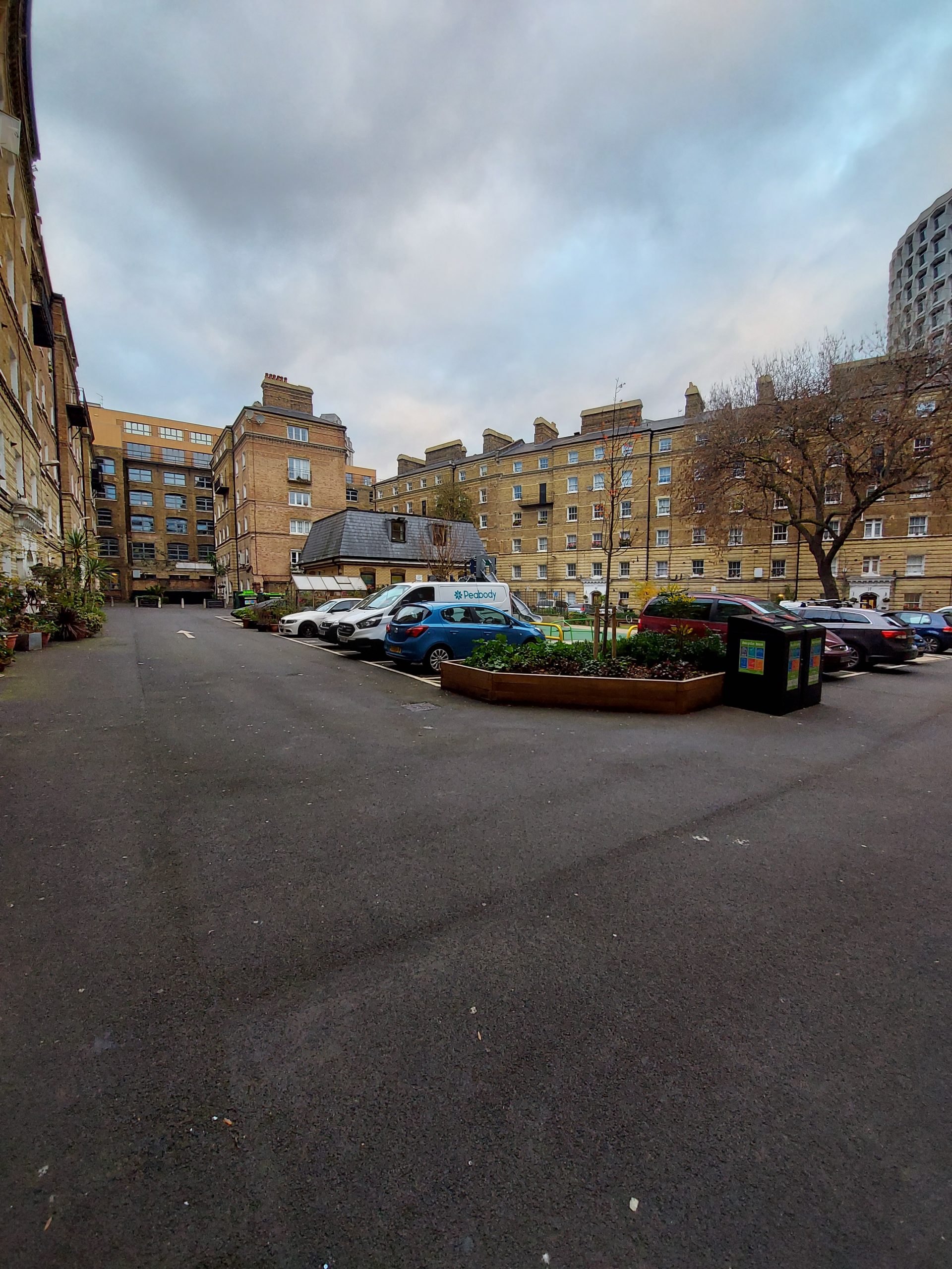
Location of the Cockpit/Phoenix
The walk ended in the modern West End – the location of the Cockpit/Phoenix, now the inner courtyard of a modern housing estate. This theatre was founded in 1616-17 by actor Christopher Beeston, and named after a real cockpit in Cockpit Court. Angry playgoers burnt down the theatre soon after it opened – annoyed that the Queen’s Men from the Red Bull were performing here and charging higher prices – but was almost immediately rebuilt.
ShaLT, the Shakespearean London Theatres project, has created a map of London containing five walks designed to show theatre fans the sights and sounds of the city’s early theatres (1567-1642). I had some annual leave to use up, and not much planned owing to the latest lockdown, so I decided to use my time wisely – to follow each of these walks.
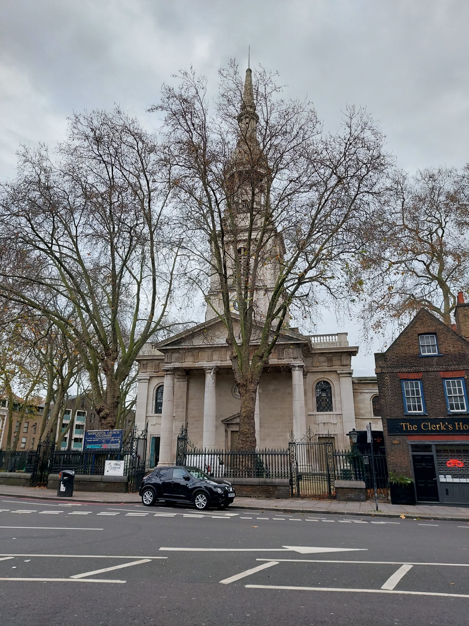
Being nothing if not logical, I began with Walk 1. It began in Shoreditch, the home of many of the earliest Elizabethan theatres. Being just outside of the City of London, it wasn’t subject to the same rules and regulations, which came in handy when putting on plays. The first stop was St Leonard’s Church, the burial place of many notable actors of the period, including Richard Burbage, the leading man in many of Shakespeare’s plays, as well as the comedian Richard Tarlton and the actor Gabriel Spenser (who was killed by Ben Jonson in a duel). Also buried here is Richard’s father James, the founder of the Theatre.
St Leonard’s Church, Shoreditch
From here, the route follows a southeast course, taking in the sites of the early theatres, the Theatre, the Curtain and the Fortune. Nothing is left above ground of these historic theatres, though plaques mark the location of the Theatre and the Curtain.
The Theatre was the first purpose-built playhouse in Elizabethan England, opening in 1576. Its name evoked the Roman amphitheatre, or theatrum, design. It premiered Shakespeare’s plays, including Romeo and Juliet, in the 1590s and also staged plays by the likes of Thomas Kyd and Christopher Marlowe. A popular legend states that after a dispute with the landowners, the Theatre was dismantled overnight and transported over the river to be rebuilt as the Globe.
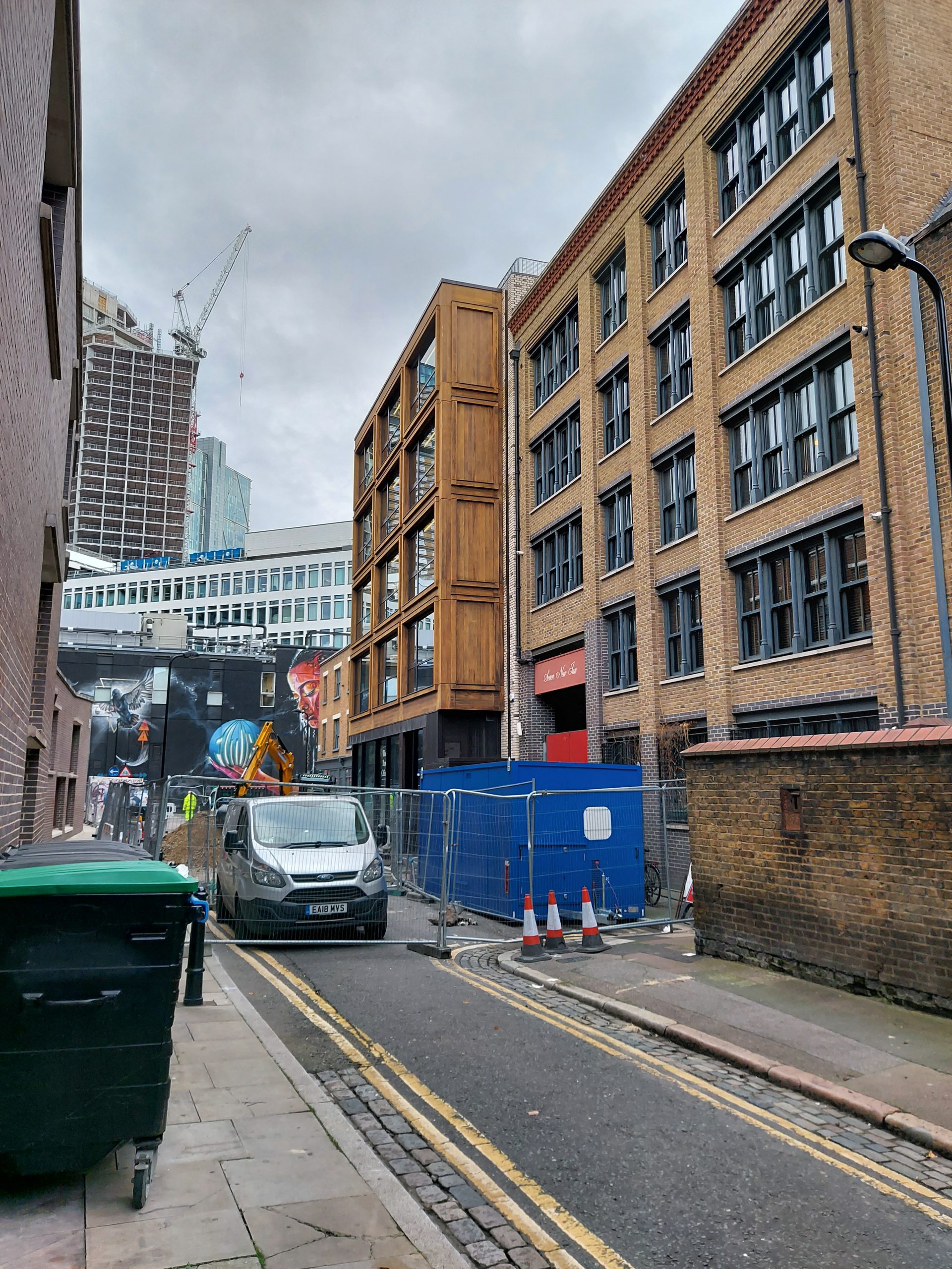
Site of the Theatre
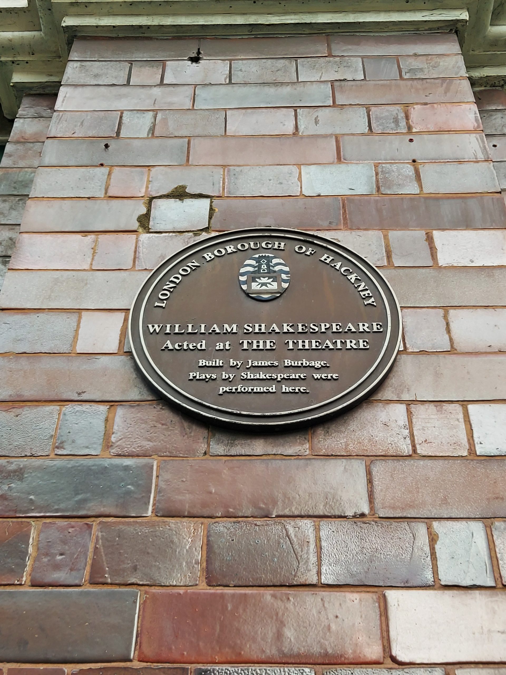
Plaque marking the site of the Theatre
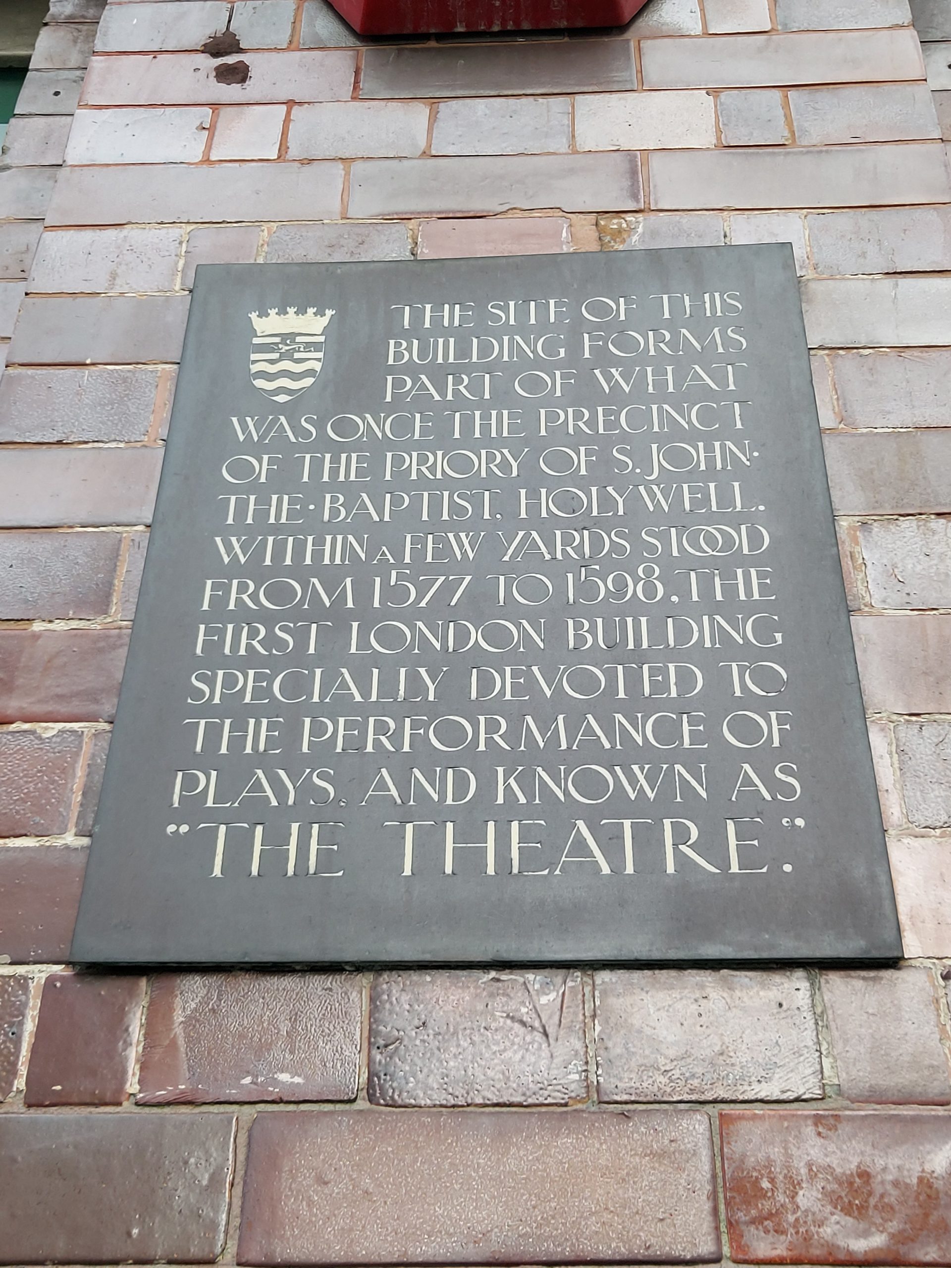
Newer plaque marking the site of the Theatre
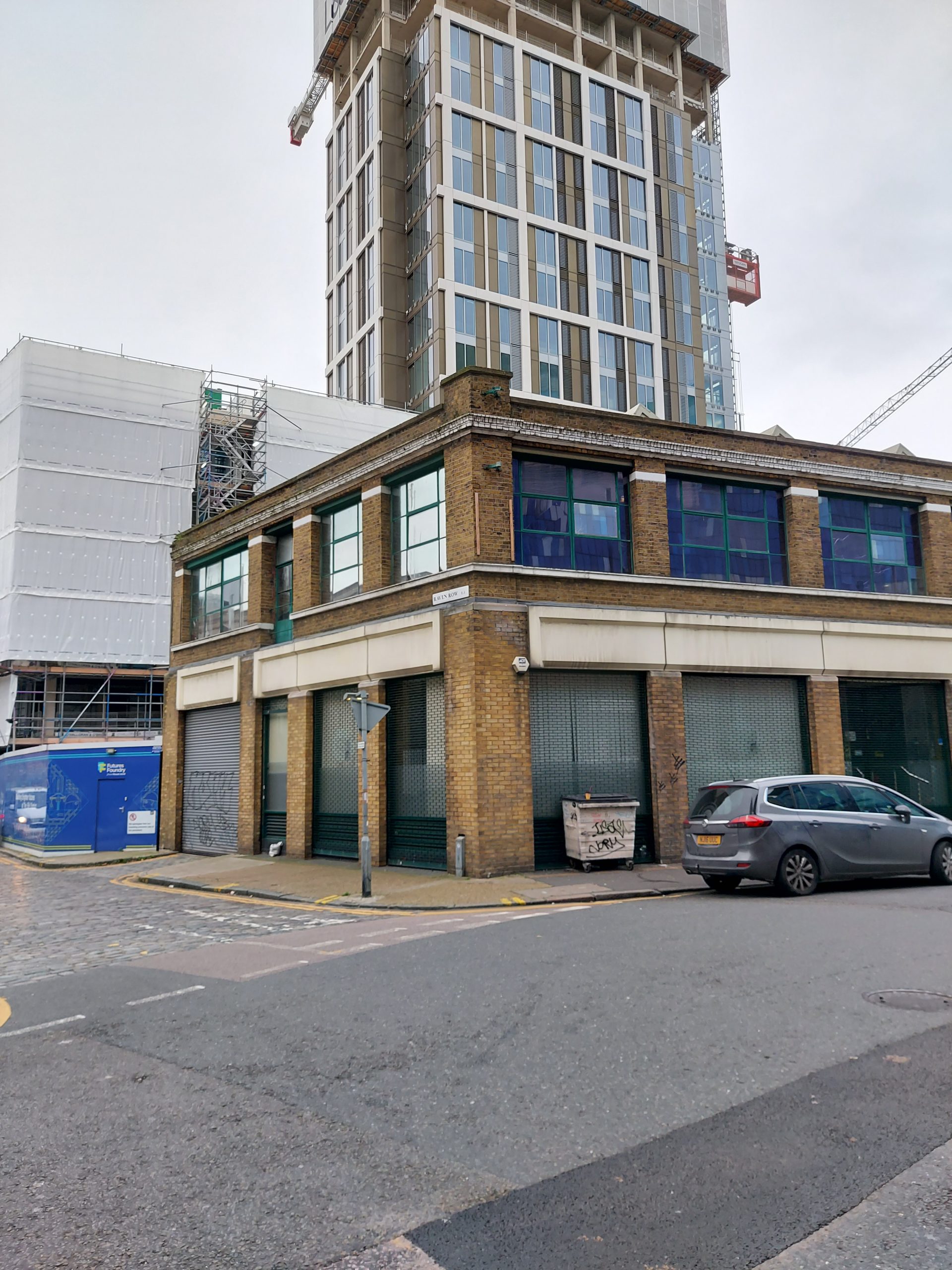
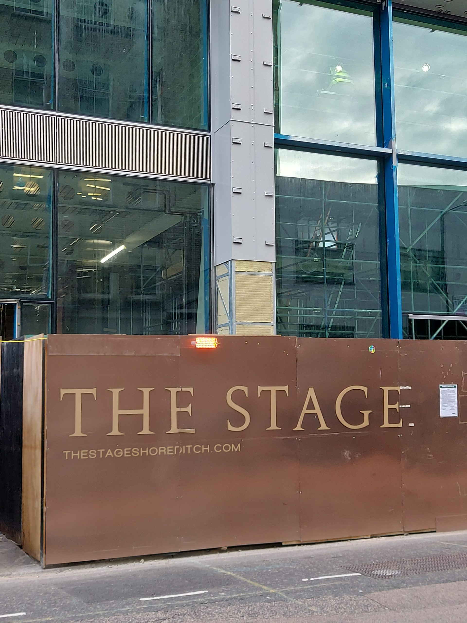
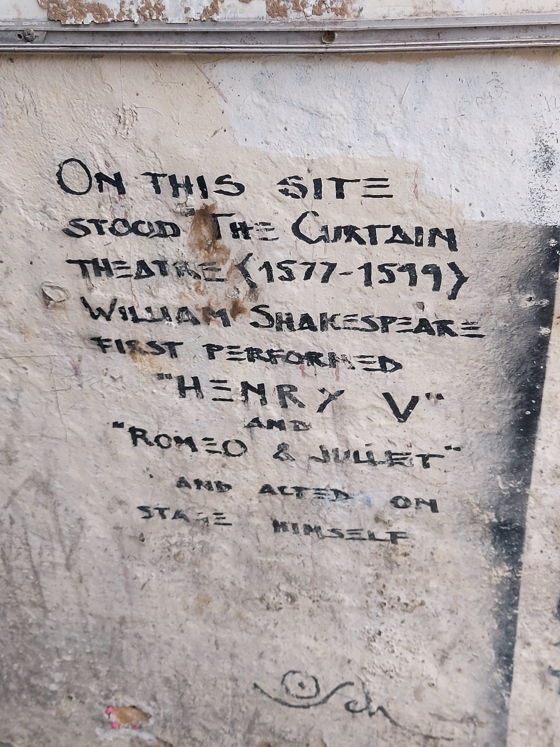
The Curtain was opened by Henry Lanman in 1577. Only 100 yards away from the Theatre, it showed many of the same plays. It is possible that the Horse and Groom pub near the site marks the location of a former victualling house. Recent archaeological work on the site of the Curtain uncovered the remains of the playhouse and once the site – known as The Stage Shoreditch – is redeveloped into housing, there are plans for a heritage centre.
Location of The Curtain
Writing that marks the site of the Curtain
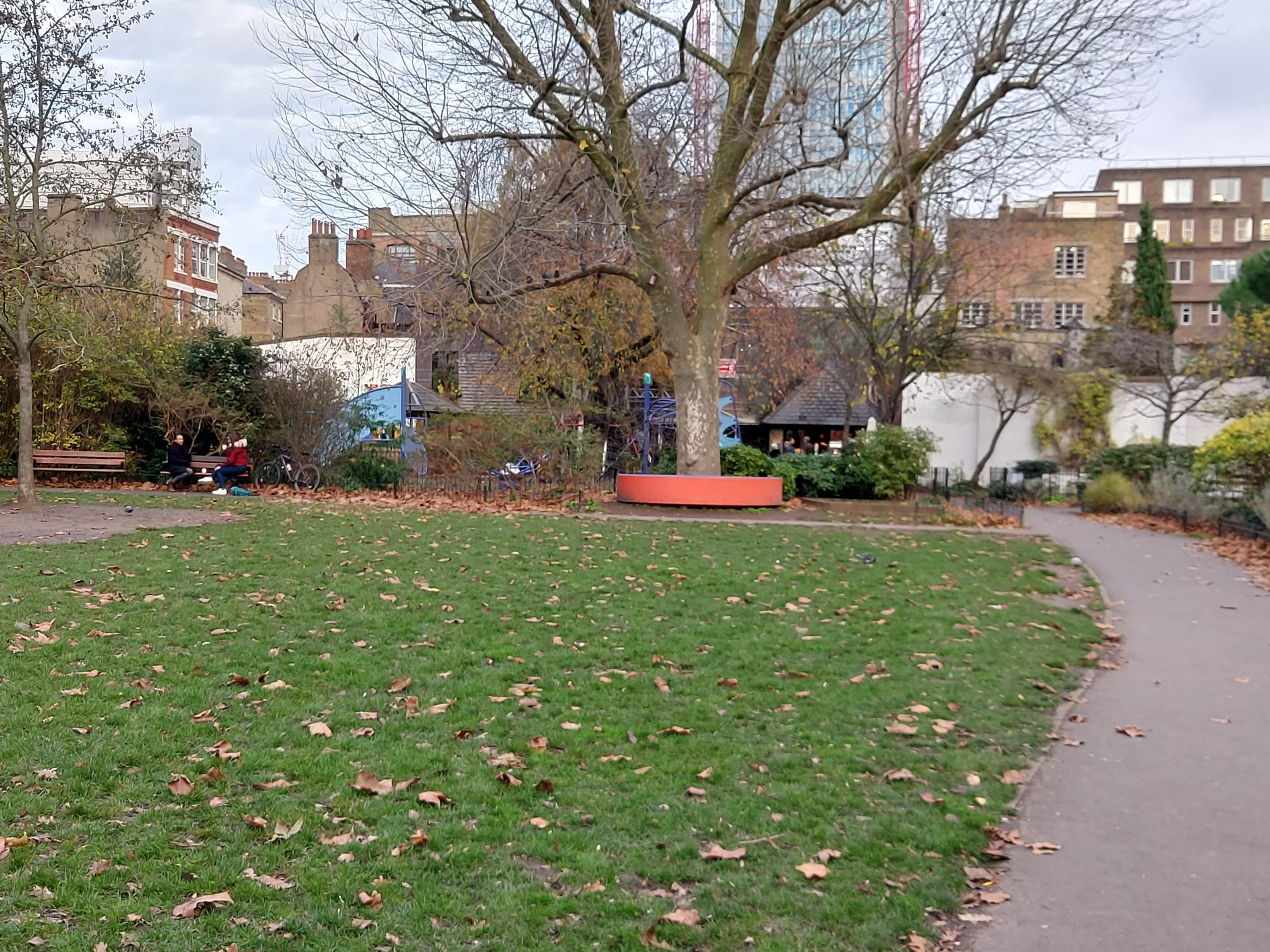
The Fortune playhouse was built in 1600, replacing the Rose as the main theatre of Philip Henslowe and Edward Alleyn. Destroyed by fire in 1621, it was rebuilt and remained open until 1642. The theatre hosted classics as well as new productions such as The Roaring Girl by Thomas Middleton and Thomas Dekker. The Fortune theatre site is now occupied by a community park – I wonder if there is anything interesting to be found beneath the grass?
Fortune Street Park, site of the Fortune Theatre
Walk 1 ends at the Barbican, and leads nicely into Walk 2, which begins at St Giles’s Church on the Barbican site – the burial place of John Milton, poet and keen theatregoer. This walk heads northwest into Clerkenwell and takes in the earliest location of the Revels Office. From 1578 to 1607 Sir Edmund Tilney oversaw and censored plays from here, including Shakespeare’s.
The Revels Office, St John’s Priory buildings, Clerkenwell
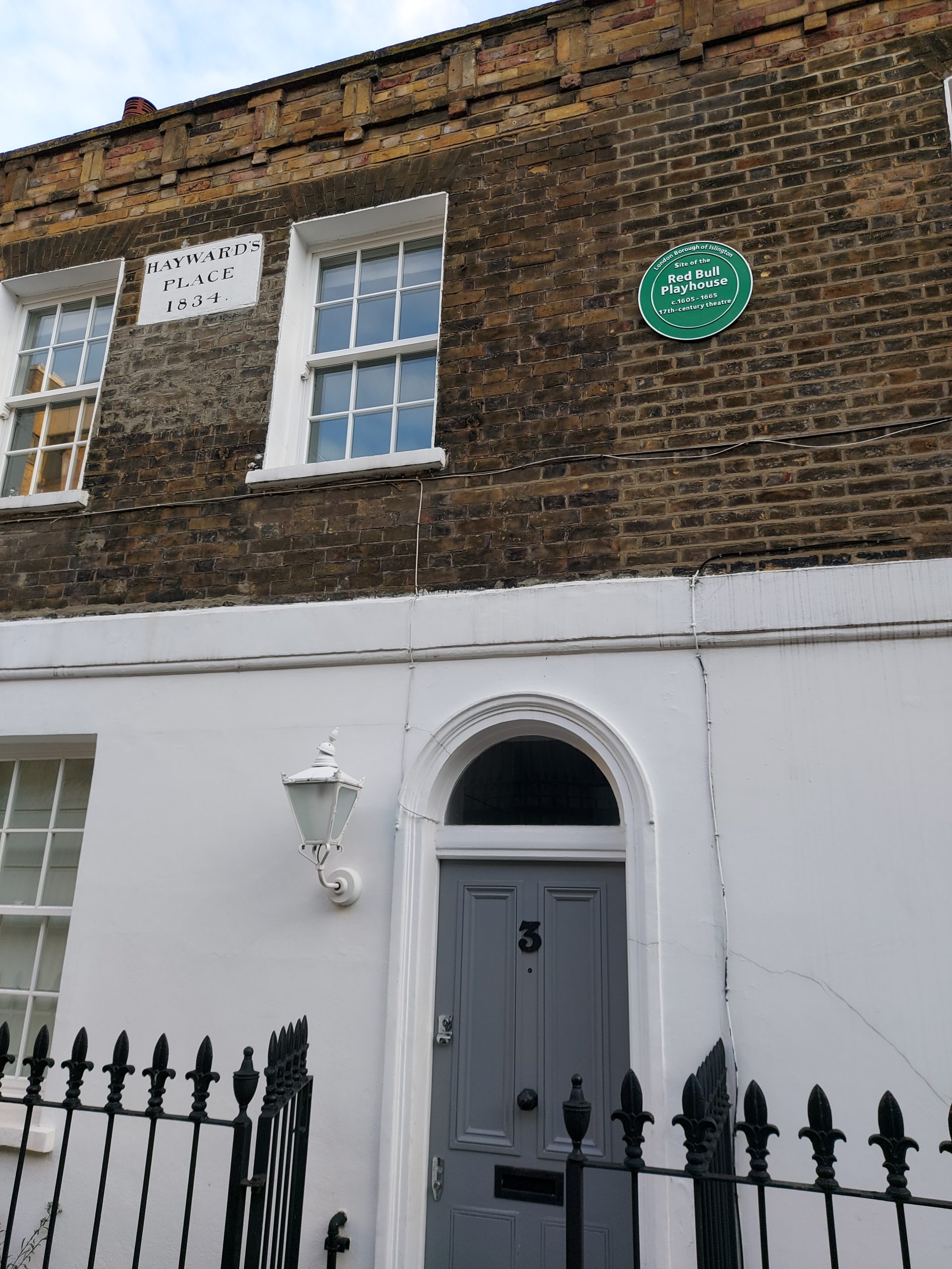
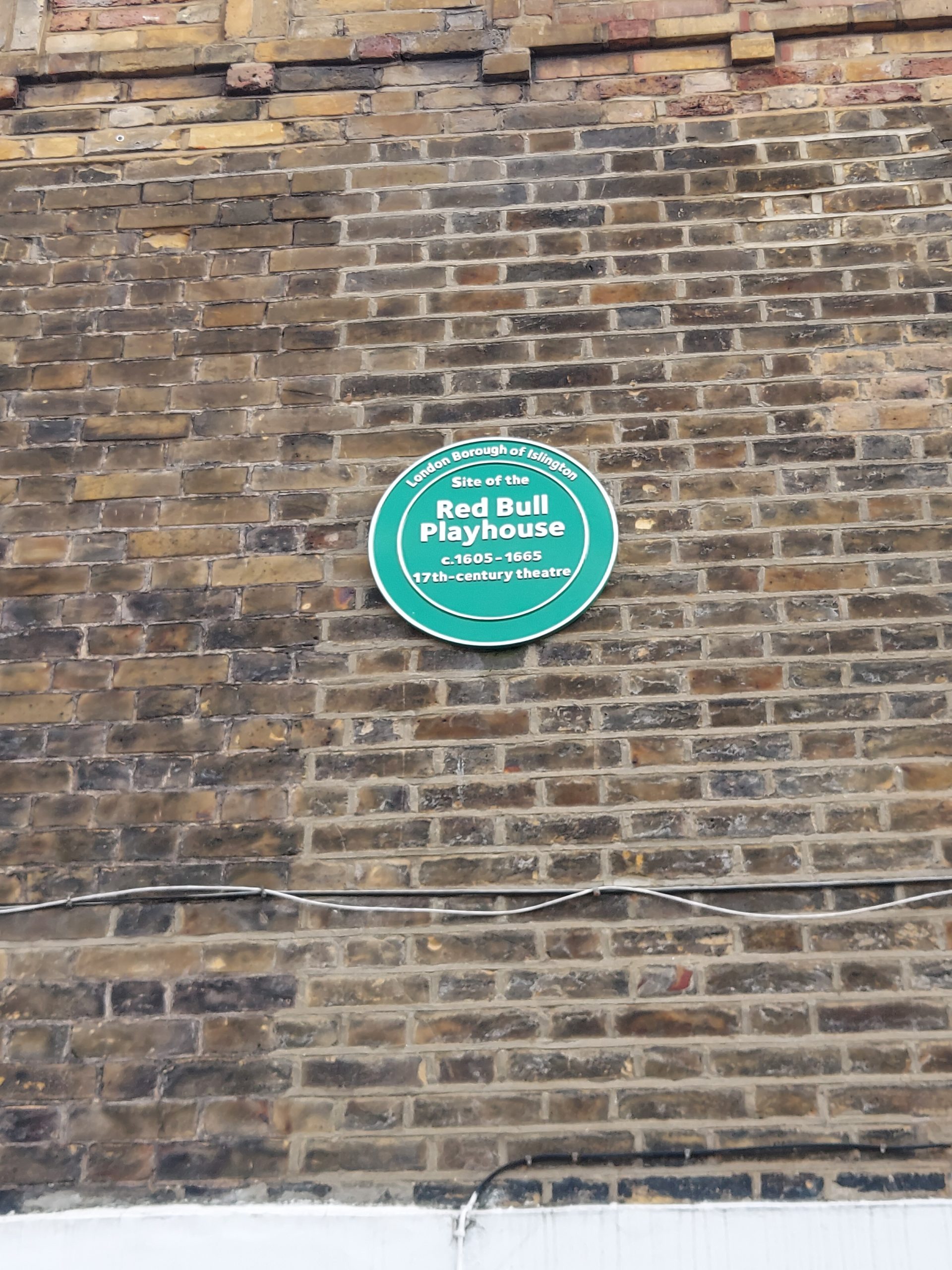
Walk 2 ends at the site of the Red Bull playhouse. This theatre was converted from an inn in 1604 and remained open until 1642. For many years it was the home of the Queen’s Men. Notable plays staged here include Thomas Heywood’s The Four Prentices of London and John Webster’s The White Devil.
Site of the Red Bull playhouse in Clerkenwell
Close-up of the green plaque that reads ‘Site of the Red Bull Playhouse’
My second Hidden London virtual tour after King William Street was Brompton Road. It’s another station that could never be visited on an in-person tour (as it can only be accessed via the driver’s cab of a Piccadilly line train), so I was happy to have the chance to attend this one.
Brompton Road was opened on 15 December 1906 on what is now the Piccadilly line, and was then the Great Northern, Piccadilly and Brompton Railway. The façade was the typical Leslie Green design, familiar to many Tube users, with its striking oxblood tiles, although little evidence of this frontage remains today (the main entrance was demolished in 1972). Located, as the name suggests, on Brompton Road, it closed in 1934 owing to low passenger numbers; most people used Knightsbridge or South Kensington which were located on either side, and there weren’t that many potential passengers to begin with considering the area was fairly affluent and most people here preferred their own forms of transport. Even before the 1930s trains often skipped this stop, and the station inspired the name of a 1928 play, Passing Brompton Road.
In 1938, the station enjoyed a new lease of life when it was bought by the War Department and converted into the headquarters and command centre of the 1st Anti-Aircraft division of the Territorial Army (responsible for protecting London from aerial attack during the Second World War). Still visible is a map of London, varnished onto one wall, to show where anti-aircraft guns should be deployed. The Ministry of Defence later used it as a training facility for new cadets, and in 2013 the surface buildings were sold off. While little remains above ground, however, there is plenty to see below ground, including some spectacular tiling on the original platforms, and remnants of its past as a wartime headquarters.
The London Transport Museum has details of the virtual tours you can take – they are well worth it.
I’ve been on several Hidden London real-life tours, but naturally these have had to be cancelled because of Covid. Not to worry, because the enterprising team at the London Transport Museum have put on some virtual events instead, many covering brand new sites, and visiting areas the general public would never be allowed in.
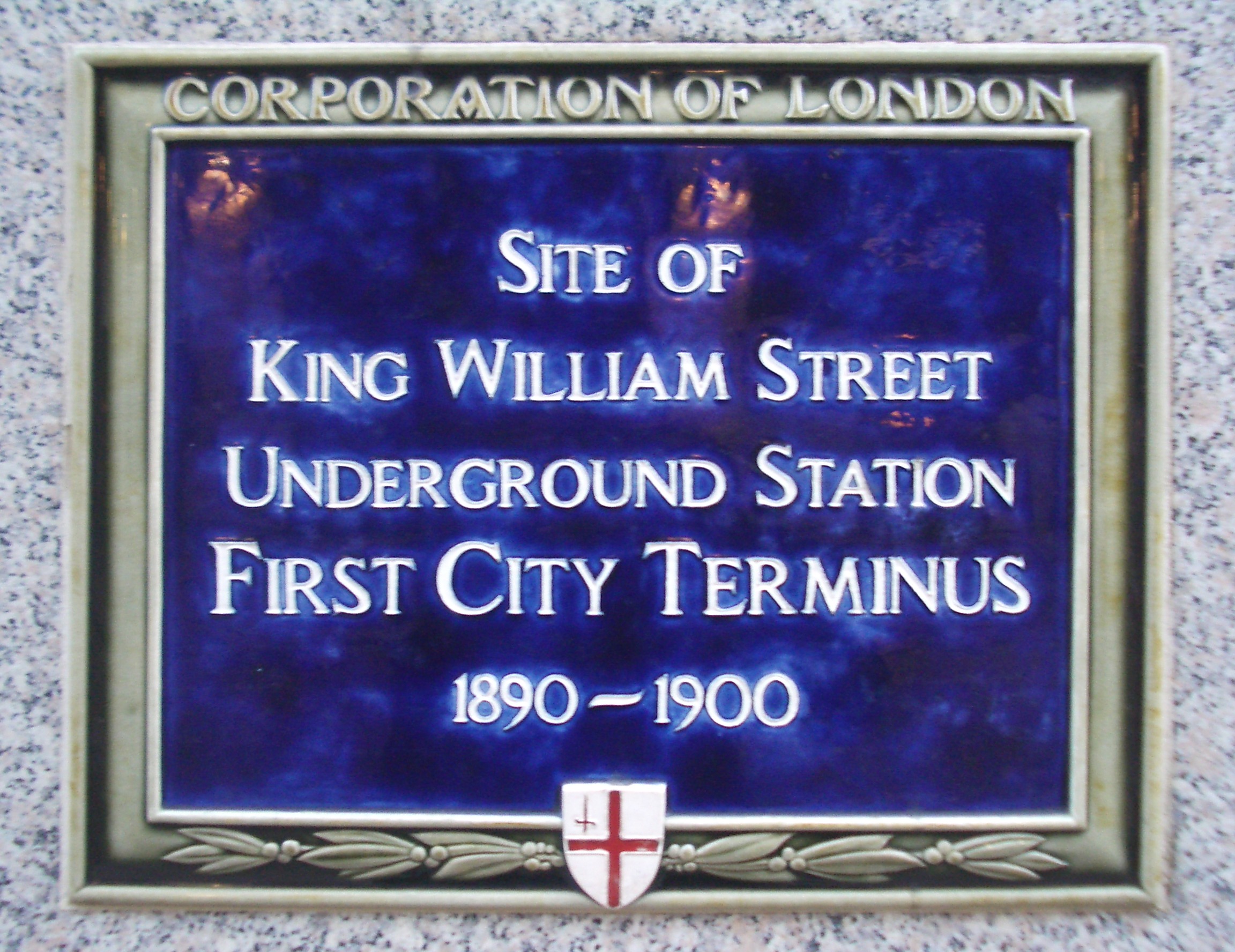
The very first virtual, or digital, tour I joined was King William Street, which was the world’s first deep Tube station and also has the dubious honour of being the first station to be disused. Opened on 18 December 1890, it formed part of the City and South London Railway which began at Stockwell and carried passengers into the City, but difficulties with the curve and the gradient surrounding the area meant that the line was eventually rerouted and the station closed at around the turn of the century.
Interestingly, the line was originally planned to use cable cars, but this idea was scrapped as unworkable and electric locomotives were used instead.
The station was used as an air raid shelter during World War II and later for archival storage before once again falling into disuse. Excitingly, the station is enjoying something of a new lease of life, as it is the access route for the Bank extension and upgrade project.
This station could never be included on in-person tours so I was glad to have had the chance to attend this virtual one. It was fascinating to see pictures from the station’s heyday and the tunnels and staircases that still exist underground – some with original tiling, others with 1940s posters and remnants of the yellow paint often used during the war. A plaque marking the station is still visible near the site, and I intend to check it out once London opens up again.
I’ve visited several “secret” stations on Hidden London tours, and recently was lucky enough to go to Down Street, also known as “Churchill’s secret station.” Down Street opened on 15 March 1907 on the new Great Northern, Piccadilly & Brompton Railway (GNP&BR), part of what is now the Piccadilly line.
Designed by Leslie Green, the station was situated on a side road called Down Street, in between two popular stations in a rich area – so it wasn’t used much from the start. The station layout was designed by Sir James W Szlumper, Chief Engineer for the railway. A dispute about the escape route led to several redesigns, and the station opened after the rest of the railway with an extra cross passage, stairs and landing. It closed on 21 May 1932, with its passageways converted to act as a ventilation shaft for the Piccadilly line.
Down Street wasn’t empty for long, though. A Railway Executive Committee was formed to coordinate British railway companies in the event of war, ensuring the smoothest possible travel for people, the military, and supplies. A headquarters was needed: the Underground was safe and this station’s central location was ideal. Plans were drawn up to convert the station: the lift shaft was capped with concrete and air filtration protected against gas attacks. The REC met in the Committee Room, while a typing pool sat just outside and a telephone exchange was situated on the now boarded-up platforms, along with dormitories for those staying overnight: the need for secrecy meant staff could not be seen going in and out all the time and they needed to stay and sleep in shifts.
Executive staff members had sole bedrooms, as well as posh furniture and good food: catering was provided on-site, as well as bathroom and toilet facilities. A team of four motorcycle despatch riders carried letters from above ground. Executive staff members who needed to leave could use the red stop signal located on the platform, stop a Piccadilly line train, and board the train in the driver’s cab.
Churchill used these rooms for 40 days from October to December 1940, at the height of the Blitz when the Cabinet War Rooms weren’t ready. He was impressed with the accommodation, unsurprisingly. One meal he shared with some REC and War Cabinet members included caviar, champagne, brandy and cigars. Later, rooms were built for him in the passageway that London Transport engineers had originally insisted be kept free for escape purposes, although he may have never used it.
These days, Down Street is still used for ventilation purposes. If you look carefully when travelling on the Piccadilly line between Hyde Park Corner and Green Park, you may catch a glimpse of this hidden station.
I’ve spent a lot of time at the Old Royal Naval College in Greenwich over the last couple of years or so, taking tours, exploring and learning more about the area. I was excited to sign up for the Unlocked tour, which promised to showcase even more of the complex.
Meeting at the Old Brewery pub, we were taken first to the Admiral’s House, with its lists of former governors of Greenwich hospital, and its rich decoration. One corner was bombed during the Second World War and has since been rebuilt, but much of it is original. One particularly fancy room was used in disciplinary cases, so wouldn’t have been too pleasing to the average sailor’s eye. The most notable artefact in this building was probably the long table which is supposed to be the table on which Nelson’s body was laid out in the Painted Hall after it was returned to England after the Battle of Trafalgar.
Next, we headed into the building now used by Trinity Laban – I’ve been here several times before for concerts, but had never noticed this particular entrance, leading into a sixteenth-century undercroft fomerly part of Greenwich Palace. Over the years it has been used as a wine cellar, a coal hole, and a bar – a hook left over in the ceiling was used to hold a disco ball in the Seventies. The creepy face carvings were originally planned to cover one of the seventeenth-century buildings, but that plan was scrapped as being too expensive, and they ended up down here, where most of them have lost their noses thanks to Navy recruits practising their swordsmanship.
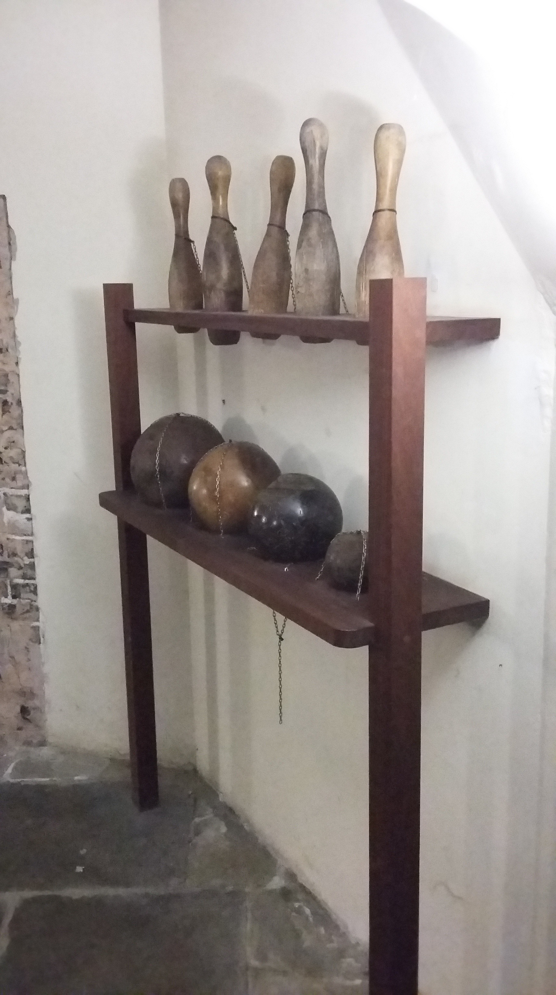
Finally, we headed beneath the Chapel to the Victorian skittle alley, somewhere I’ve wanted to visit ever since I heard about it. This space used to form part of the hospital, the underground location handily muffling the cries of patients undergoing operations. In the nineteenth century, the retired sailors living here, bored with the lack of entertainment, asked permission to construct a bowling alley down here. The balls used were practice cannon balls made from extremely heavy wood; it was not unknown for sailors to make bets with people they met in the pub and get them to use a ball that was ever so slightly rugby ball-shaped, thereby ensuring that they would never hit a strike. When it came to the sailors’ turn to have a go, they knew at what angle to throw the odd-shaped ball to ensure they were successful.
There ended my Unlocked tour (except for a free drink waiting back at the pub). I’d definitely recommend the tour: my guide was really friendly and knowledgeable and I was very excited to finally get the chance to see the skittle alley.
Yeah, sorry about that title. Anyway, after my enjoyable if exhausting walk following the route of the Fleet, I decided to walk the course of another London river and fellow Thames tributary – the Wandle. This river flows from Croydon to Wandsworth, and I began my walk, as this Londonist article suggests, in Morden.
The Wandle in Morden Hall Park
The Wandle has in its time powered many working mills, despite its current appealing rural-lite setting. It has avoided the fate of becoming a covered sewer and instead is a haven for wildlife (although, with an exception of a few ducks and one perplexed-looking moorhen, I didn’t actually see any on my walk).
The Wetlands Boardwalk
I got off at Morden Tube station and headed towards Morden Hall Park, across the Wetlands Boardwalk which is now, apparently, home to newts, frogs and herons. Beyond the park, across the tram line, I walked past Deen City Farm, a working urban farm which introduces young city kids to farm animals – an excited pair I passed on my walk were being taken there by their dad.
The Wandle just beyond Deen City Farm
After a short walk taking in a housing estate I reconnected with the river as it flowed past Merton Abbey Mills.
Merton Abbey Mills
Past Merton High Street, I ventured into Wandle Park, through which the river was diverted many years ago. Crossing the river I reached Wandle Meadow Nature Park, a former brickworks and sewage farm. This section of the walk was rather quiet and eerie, but I soon made it to the small River Graveney, passing numerous families out for a walk before reaching the Wandle once again.
The Wandle in Merton
I crossed Plough Lane, a busy road near the former Wimbledon Greyhound Stadium, and embarked upon a fairly long section of path on the left hand side of the river. I was surprised to see anglers fishing on its bank, while the electricity sub-station loomed in the background. After a while I reached Earlsfield, passing the familiar Tara Theatre before venturing towards King George’s Park.
The Wandle in Earlsfield
Once I’d reached the other side of the park, I found myself in Wandsworth.
The Wandle in Wandsworth
I walked through the busy town centre and past the old Ram Brewery buildings before reaching a sluice gate containing a bell, on which is inscribed ‘I AM RUNG BY THE TIDES’. Just a little further and I had reached the island in the middle of the river as it flows into the Thames.
Tidal bell
I enjoyed my walk and it was a lovely day for it – clear and cool and crisp. I found the signposts and directions to be somewhat lacking, and had to open my trusty Google Maps at several points, but this may just be because I have a terrible sense of direction. In any case, I was pleased to feel as though I’d accomplished something.
The mouth of the Wandle and the Fulham shore beyond
The Geffrye Museum in Hoxton may be closed for refurbishment, but the tours of the restored almshouse are still going ahead. Previously, you had to turn up on the day and hope for the best, but now it’s possible to book in advance for some Tuesday and Wednesday tours. I took the day off work and signed up.
Restored almshouse
The almshouses were founded by Sir Robert Geffrye, chair of the Ironmongers’ Company. Most of the almshouses have now been converted into the museum, but one still remains, and has been restored to how it might have looked in the past.
Eighteenth-century room
Eighteenth-century room
Eighteenth-century room
On the ground floor, one room looks as it might have done in the eighteenth century, home to a poor pensioner who may have fallen on hard times. The fireplace is large and functional, as the inhabitant would have had to cook their own meals here. They also had to furnish their own room. The chairs here are very low because when their feet rotted – as they would often do in poorer houses – they were cut off and the rest of the chair preserved. Candles were usually made of tallow – the cheapest substance available – and were kept locked in an iron container so they were not eaten by mice. Pensioners got a pension that was roughly equivalent to £8,000 per annum, but they were subject to various rules and regulations, such as a 7pm curfew (9pm in summer), compulsory attendance at church or chapel, and a ban on swearing, fornication, adultery and other undesirable behaviours.
Nineteenth-century room
Nineteenth-century room
Nineteenth-century room
Upstairs, another room is set out as it might have looked during the late nineteenth century. By this time, some of the rules and regulations had been relaxed, and pensioners enjoyed a larger allowance – equivalent to approx £16,000 per annum. However, the owners of the almshouses looked for a “better class” of inhabitants, who had to prove they could supplement their pensions with a small income. Many inhabitants at this time were retired governesses, respectable spinsters with not much money who had no home of their own, having spent their lives in other peoples’.
These inhabitants did not have to cook their own food – and many did not know how to, anyway. Therefore, the fireplace here is much more decorative. Light was provided by oil lamps, though the flickering nature of the ‘fish-tail’ lamps meant that many people still preferred to read by candlelight. There are many more objects in this room than the other, a testament to the industrial revolution which ensured mass-produced furniture and decorative items were available at lower cost. The room is also filled with photographs, popular with Victorians, and with souvenirs of holidays, such as a booklet about Scarborough.
Adjacent to the two almshouse rooms are two small exhibition spaces, looking at the history of the almshouses. In the basement there is an indoor toilet, installed during the nineteenth century, and a laundry room, though many of the Victorian inhabitants would have sent their laundry out.
The almshouse tour is only £5 (plus booking fee if pre-booked via Eventbrite) and is run by knowledgeable volunteers. While the main Geffrye Museum is closed, it’s well worth checking out.